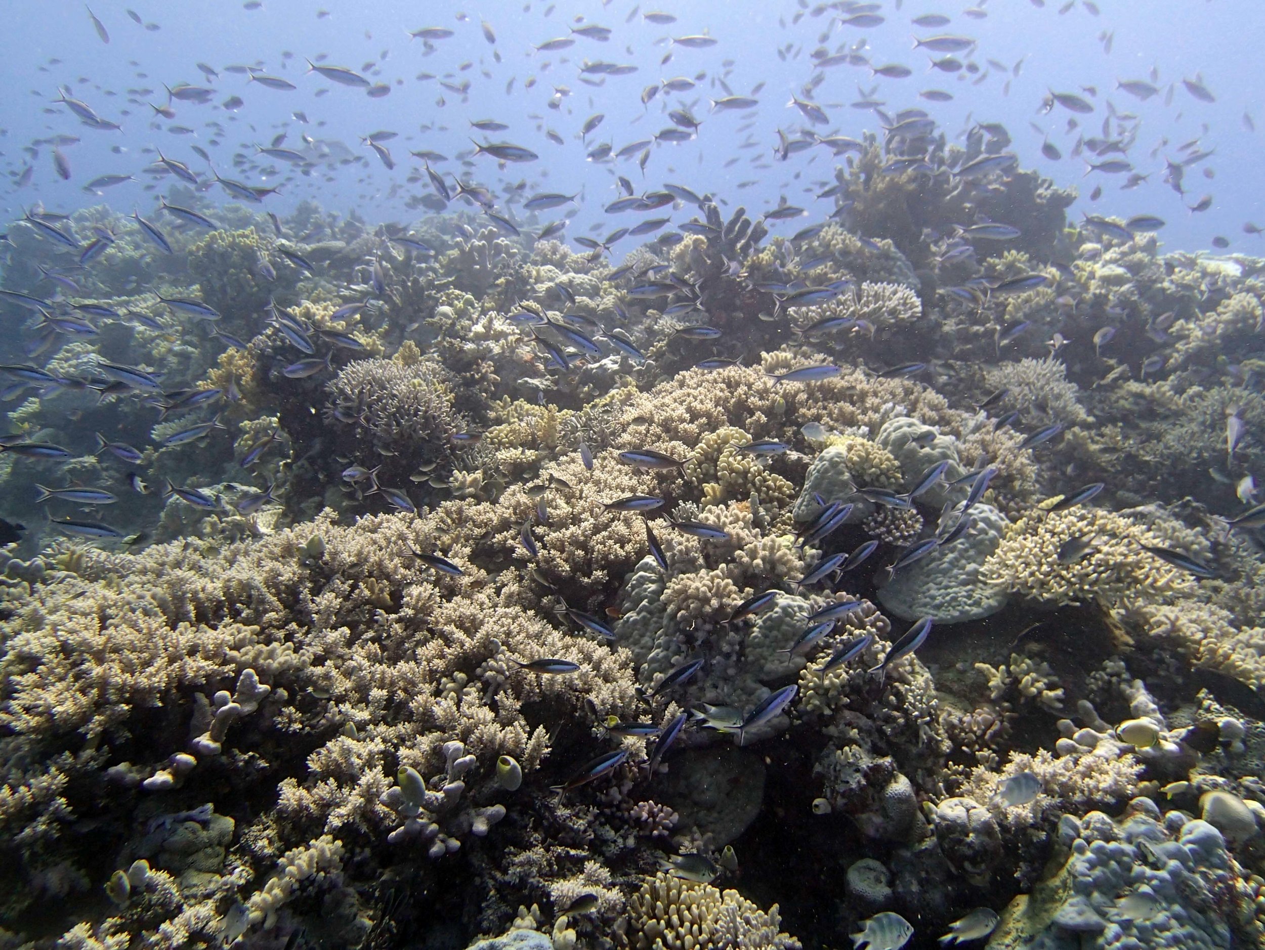
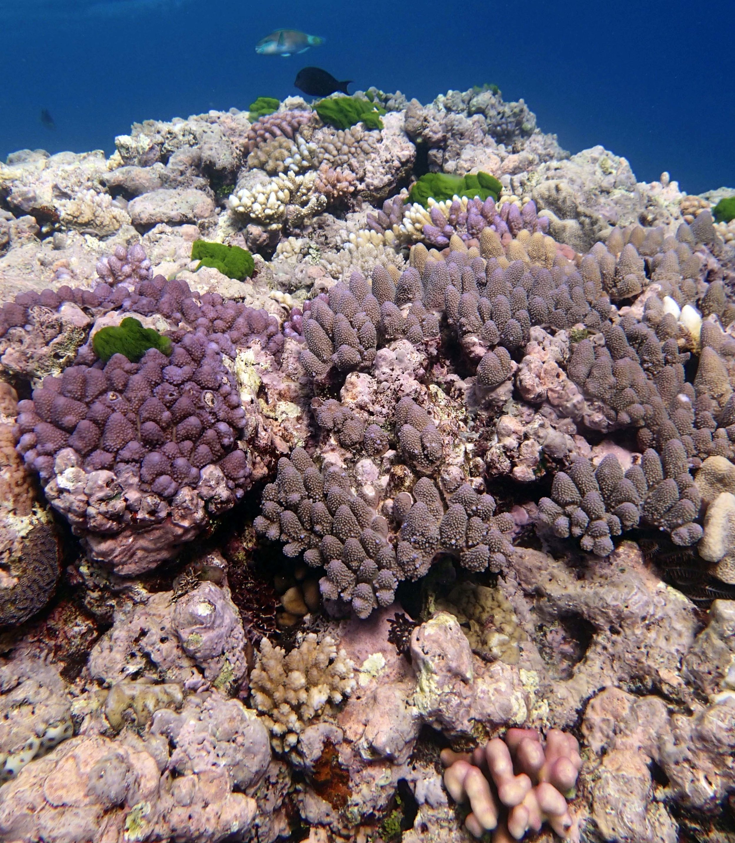
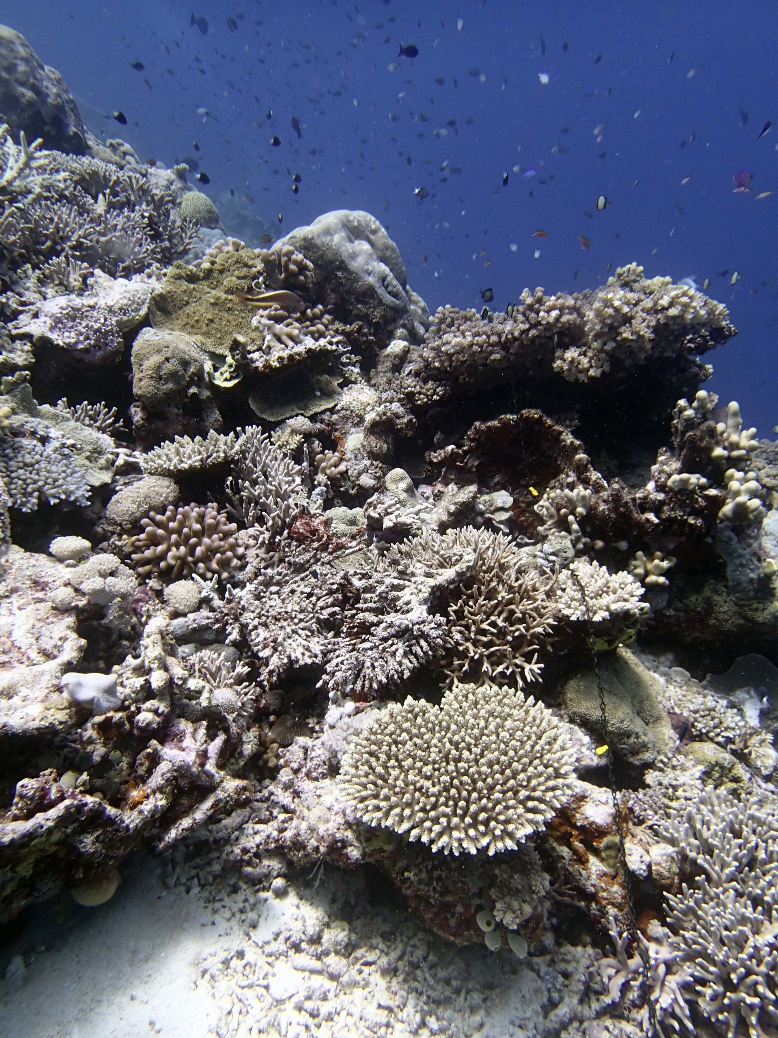
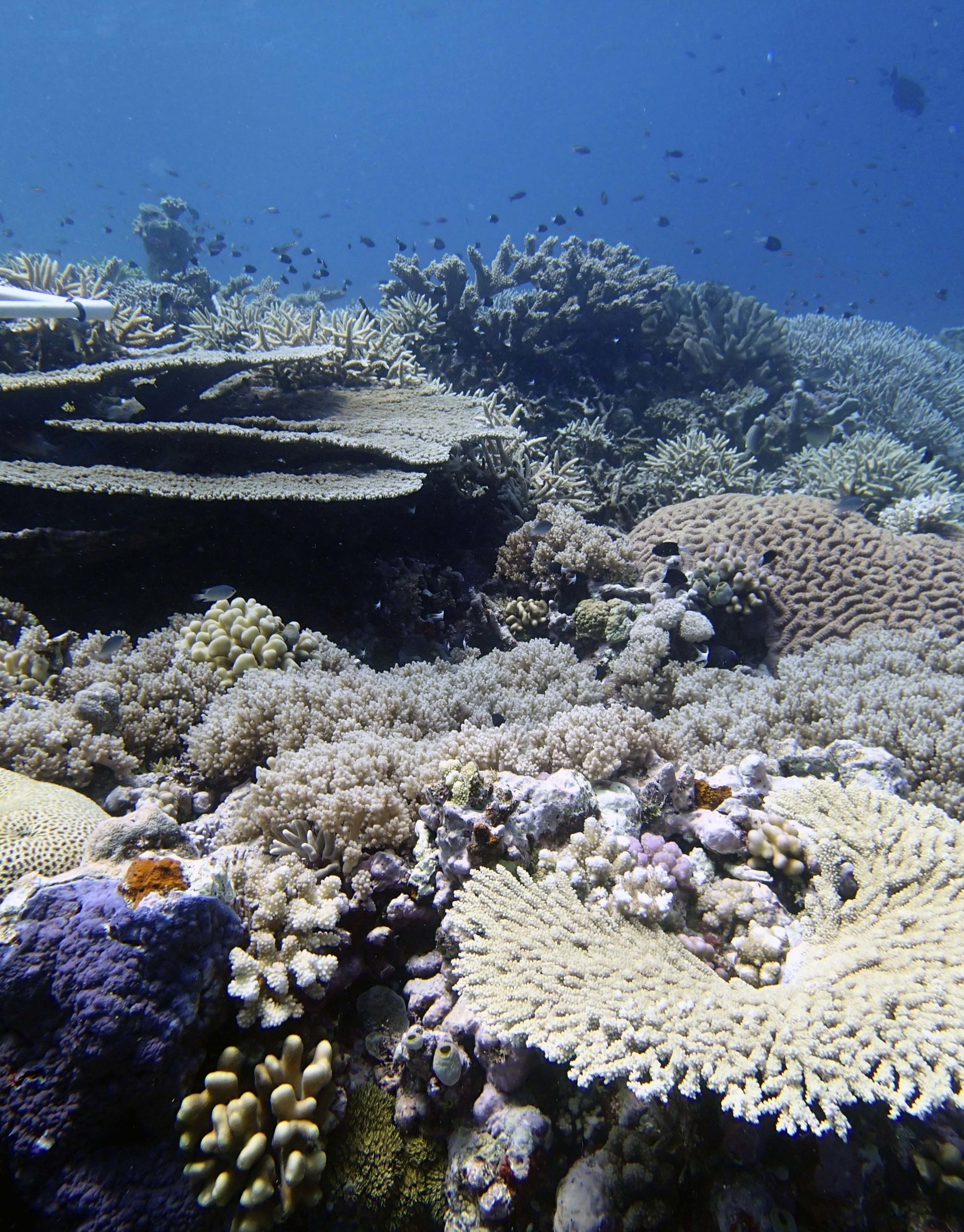
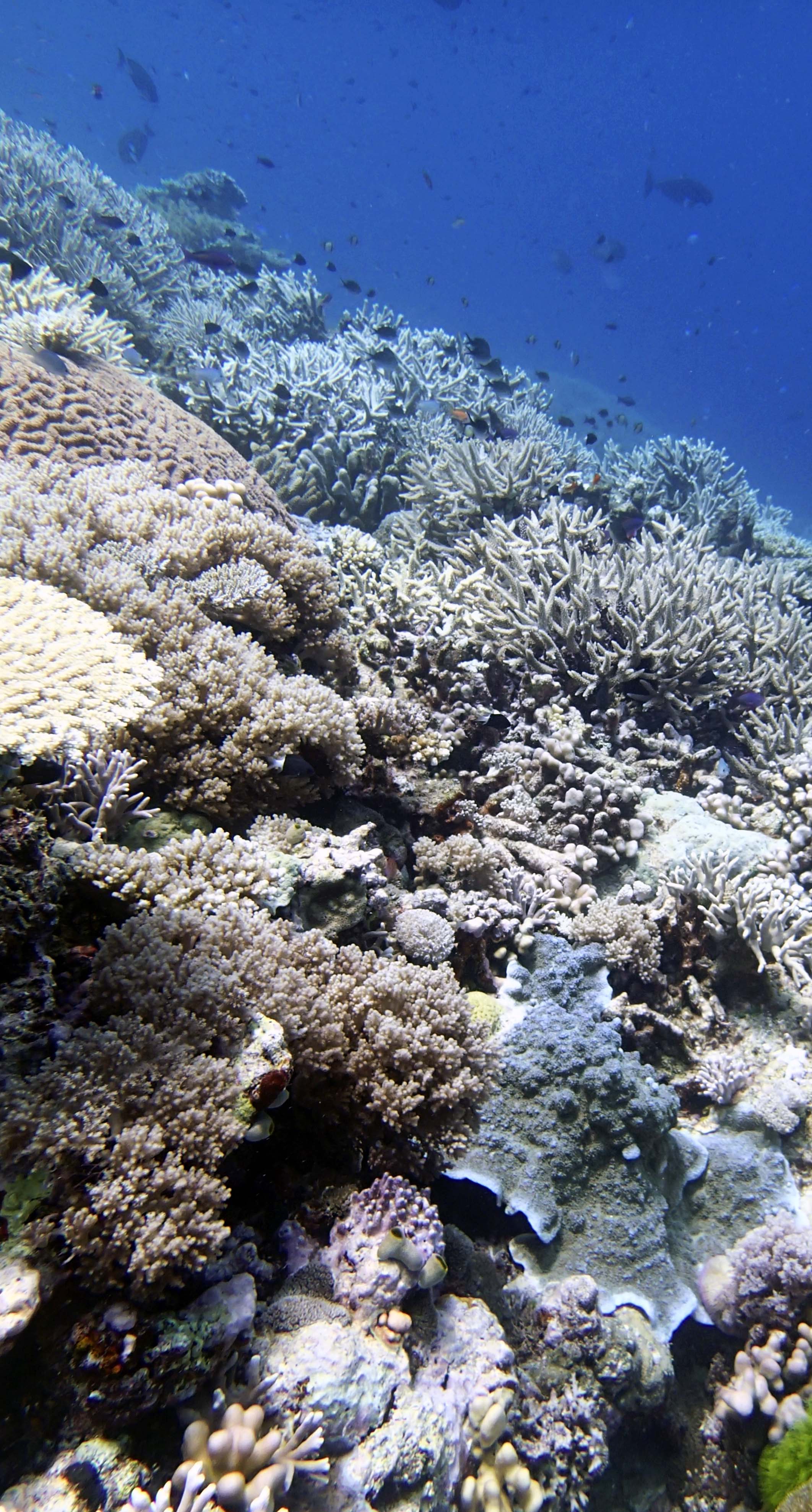
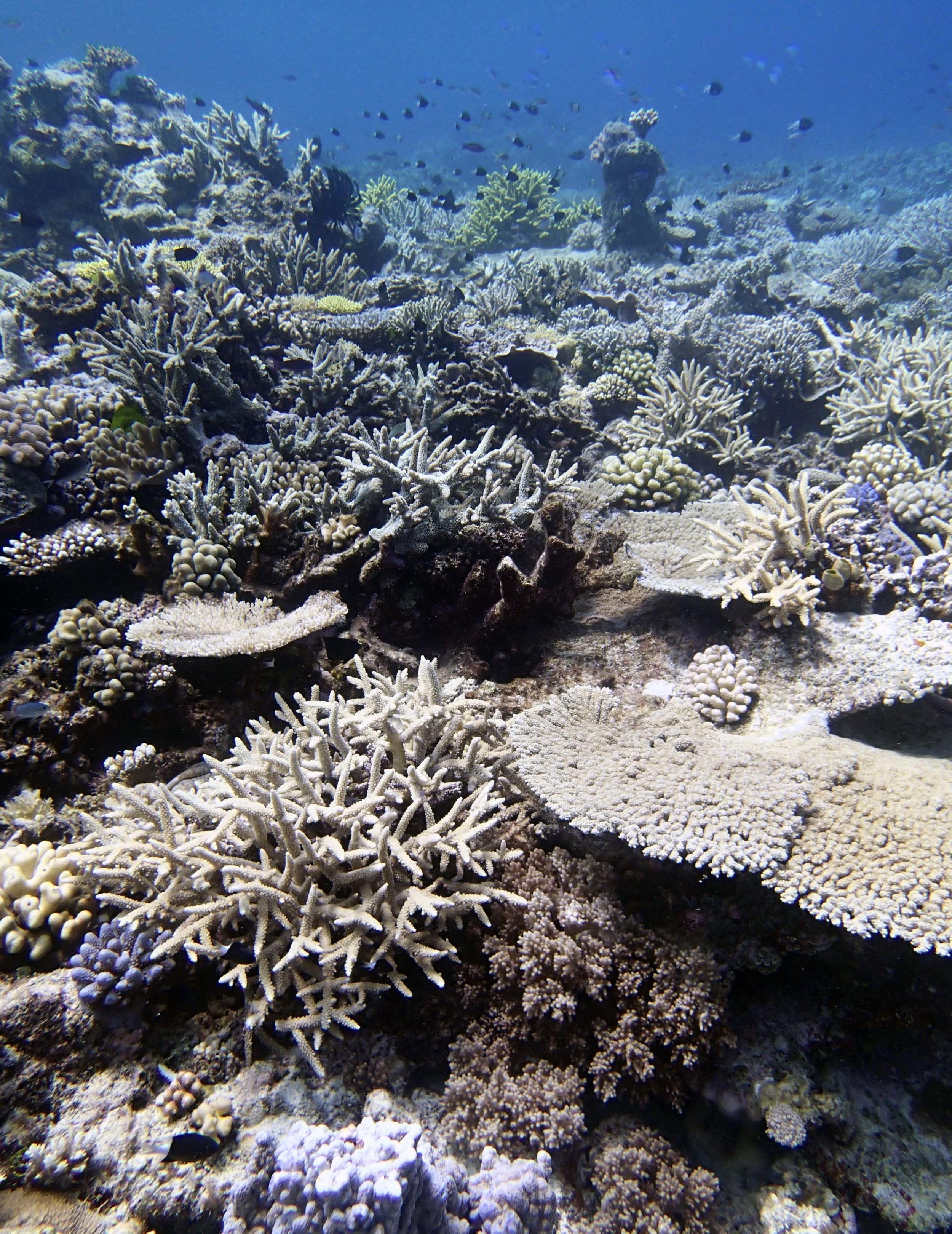
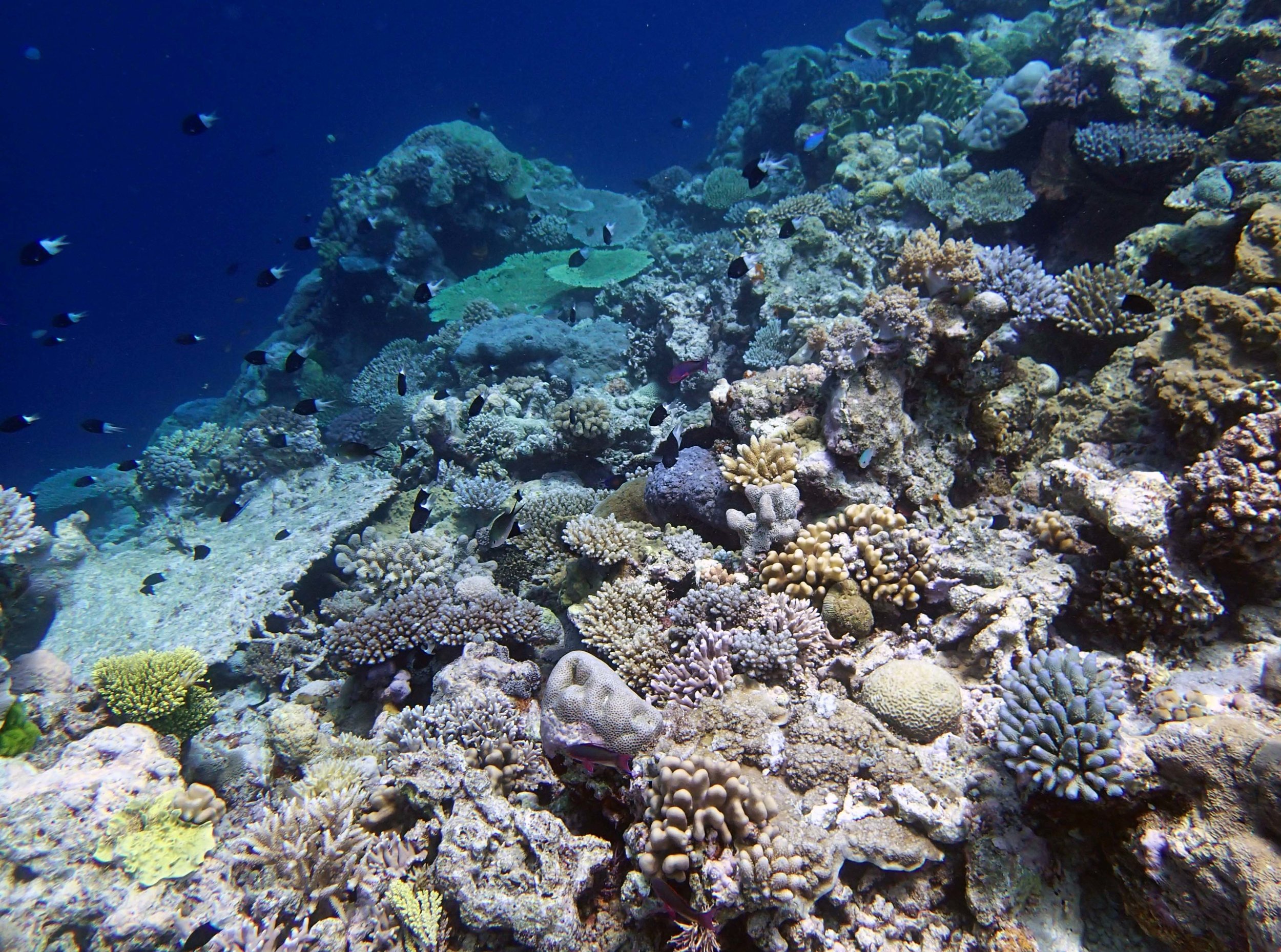
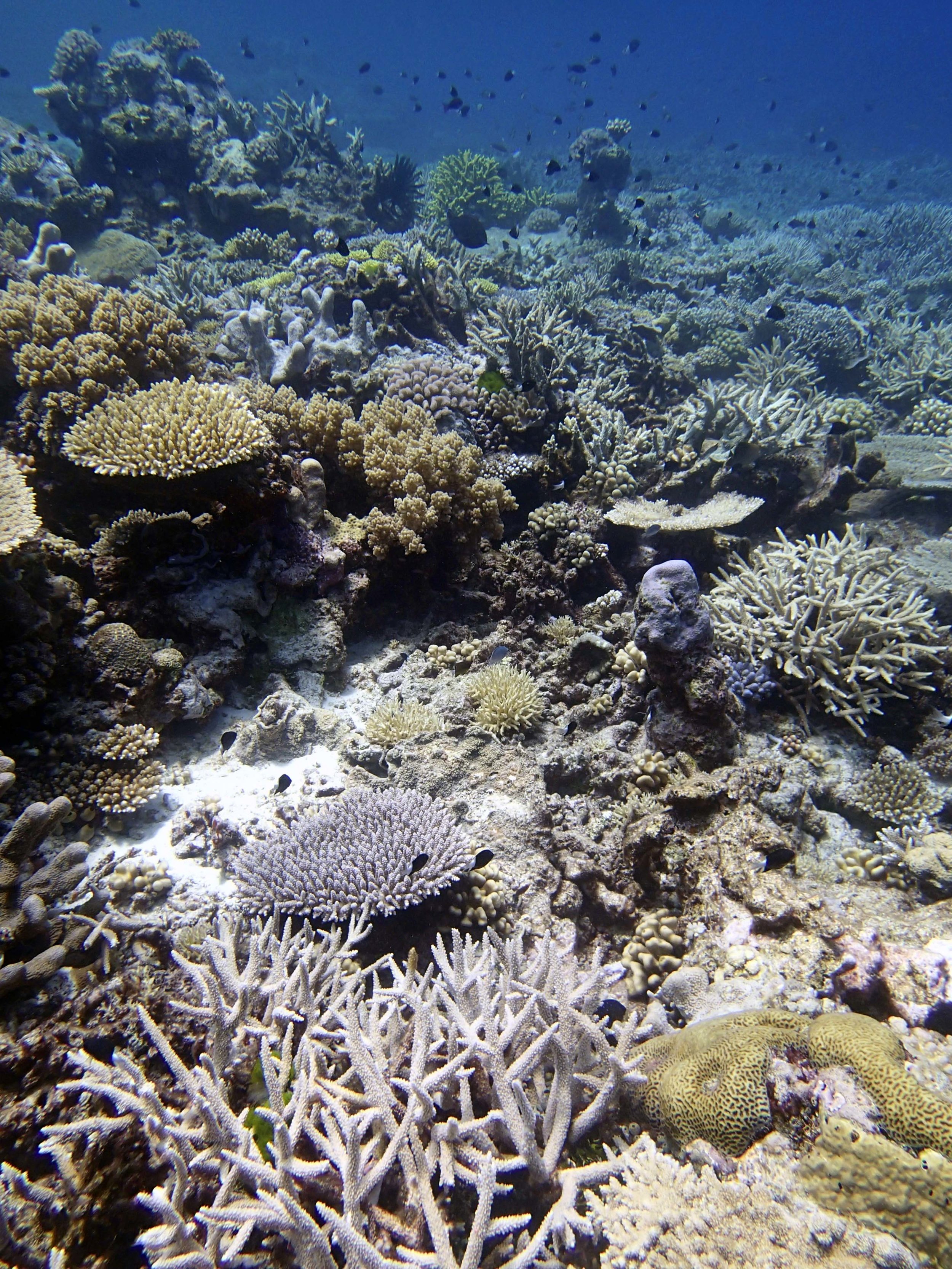
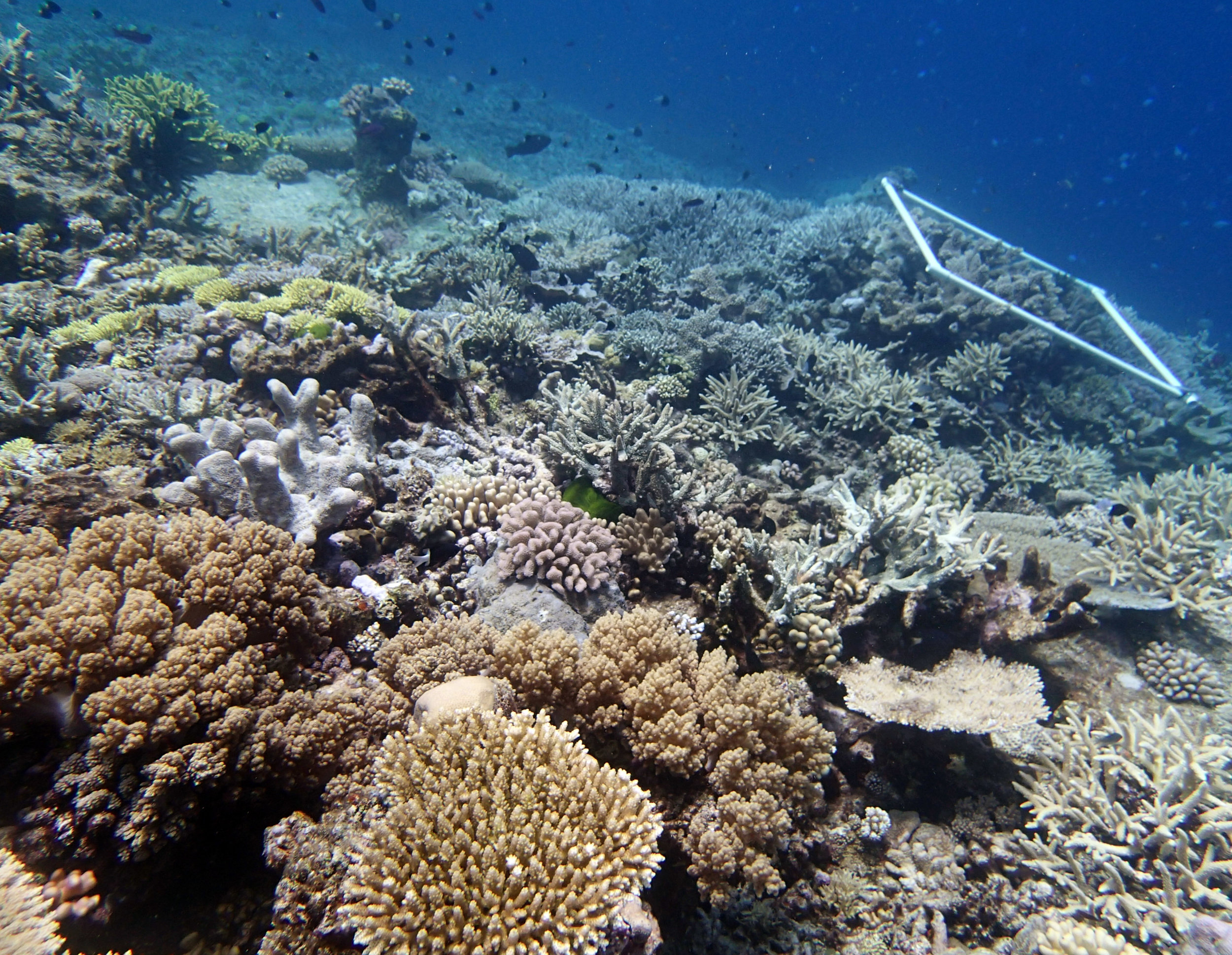
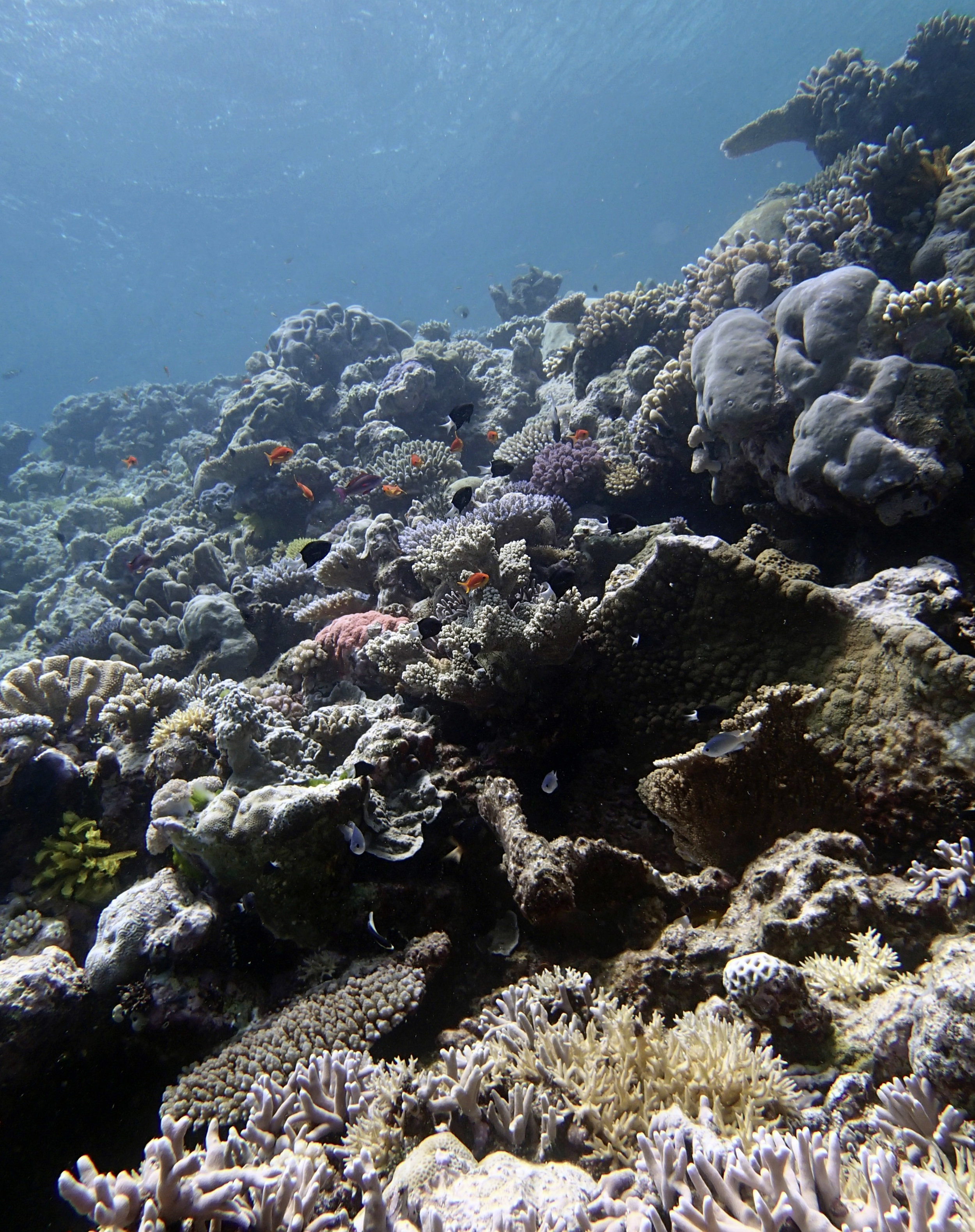
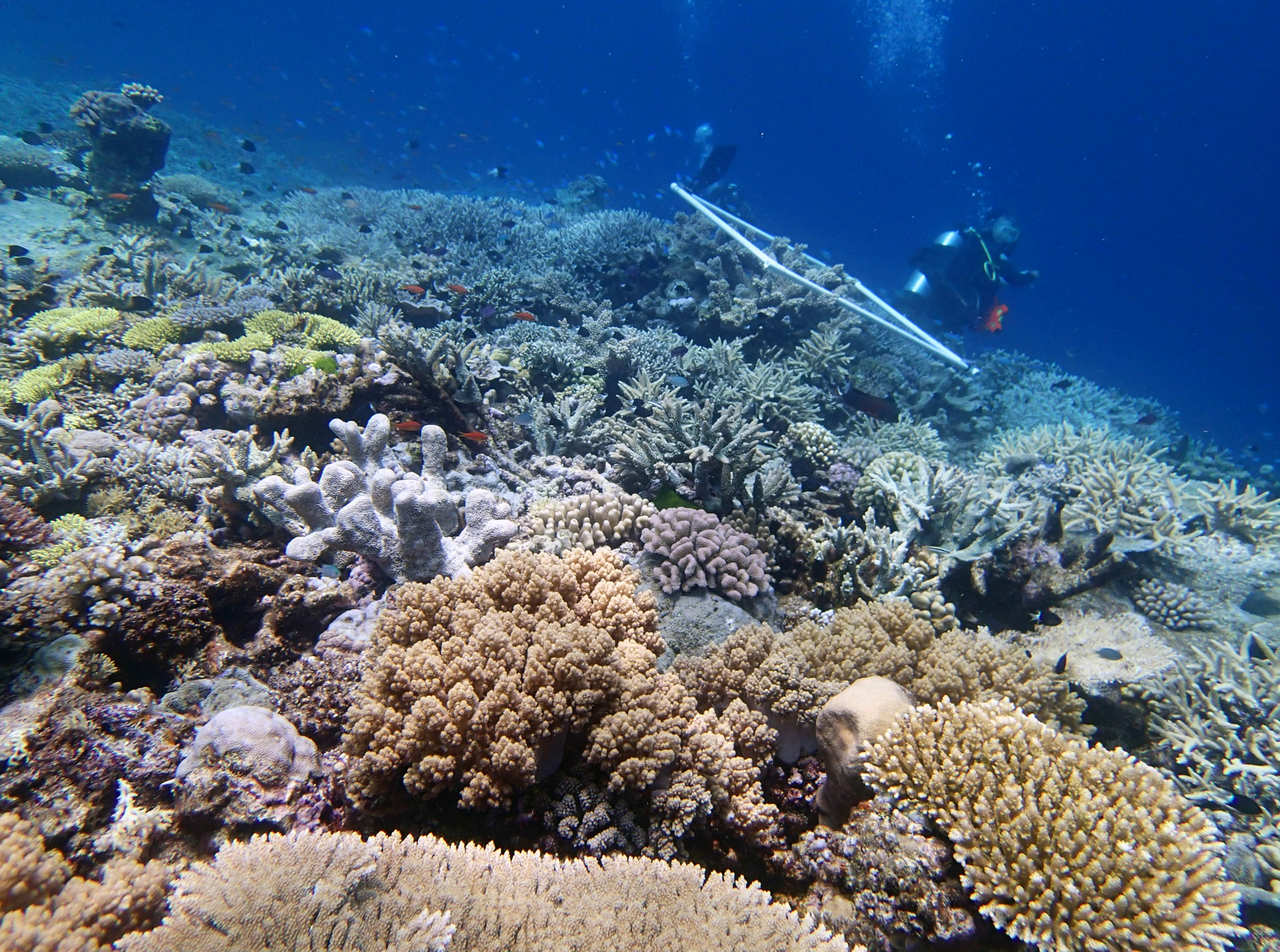
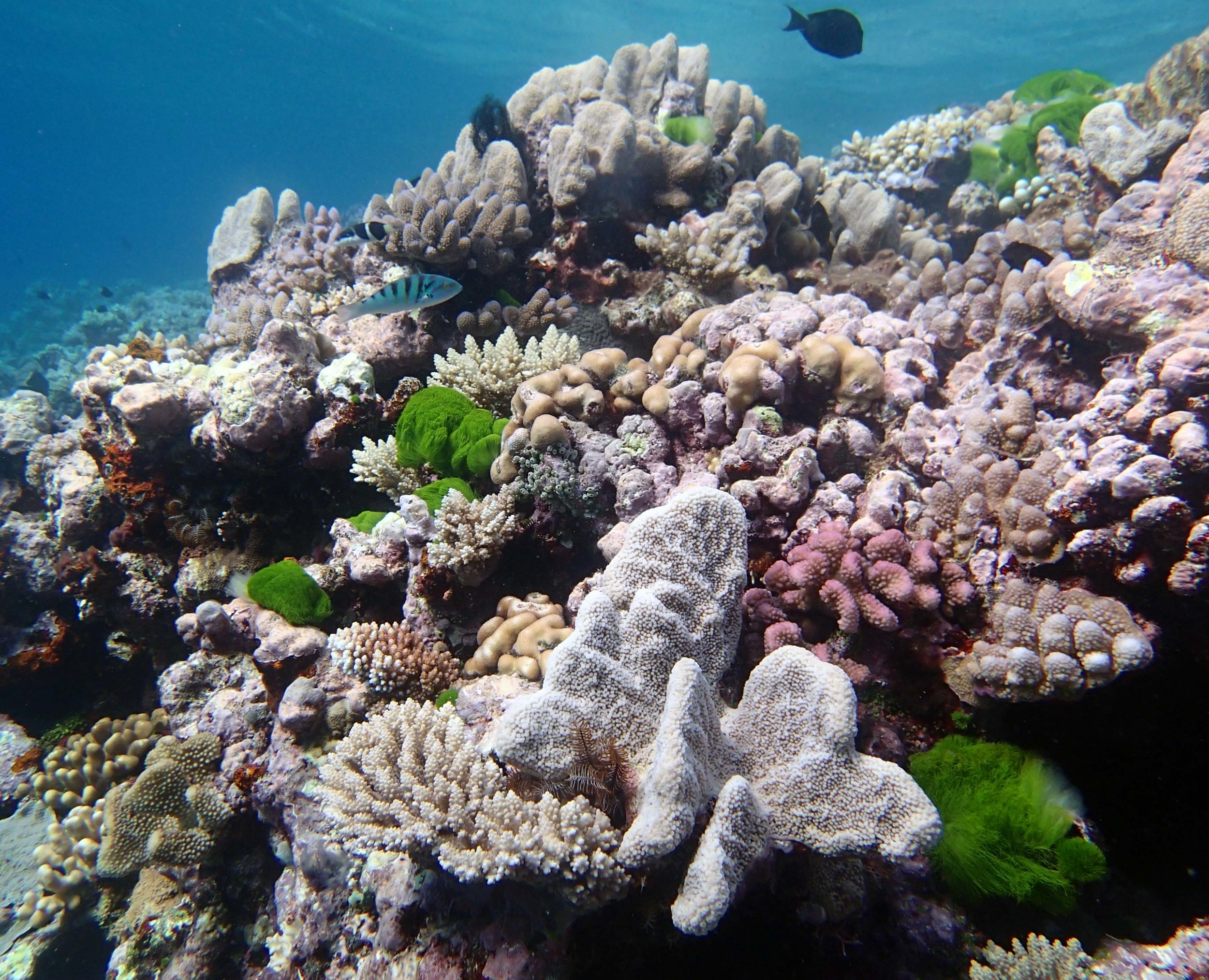
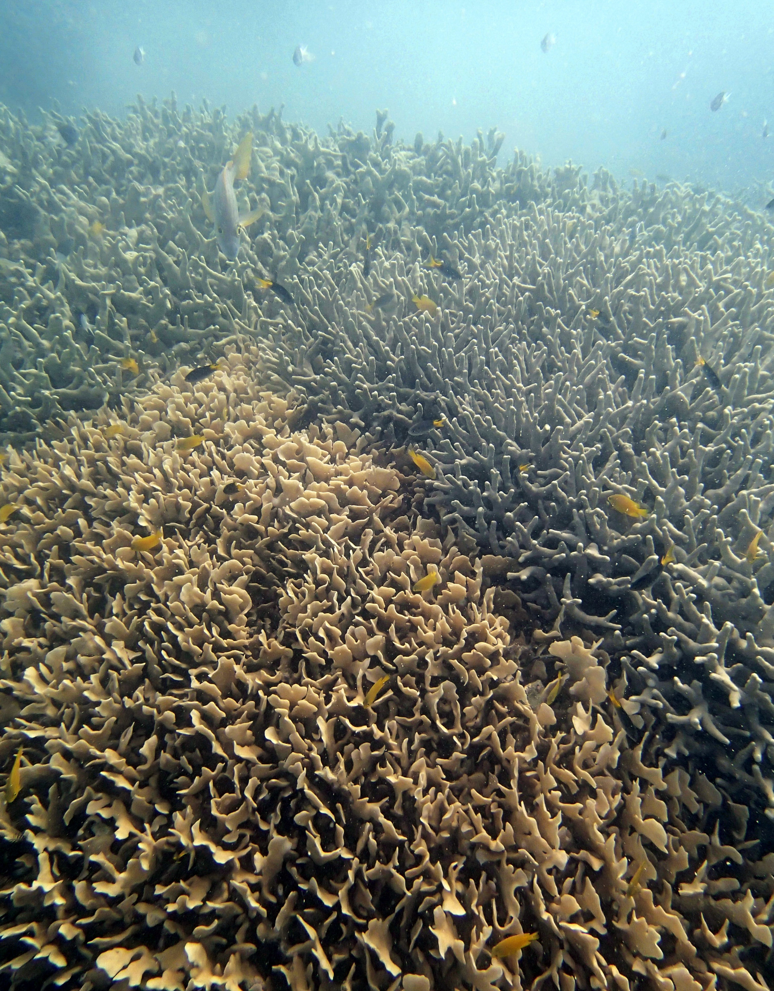
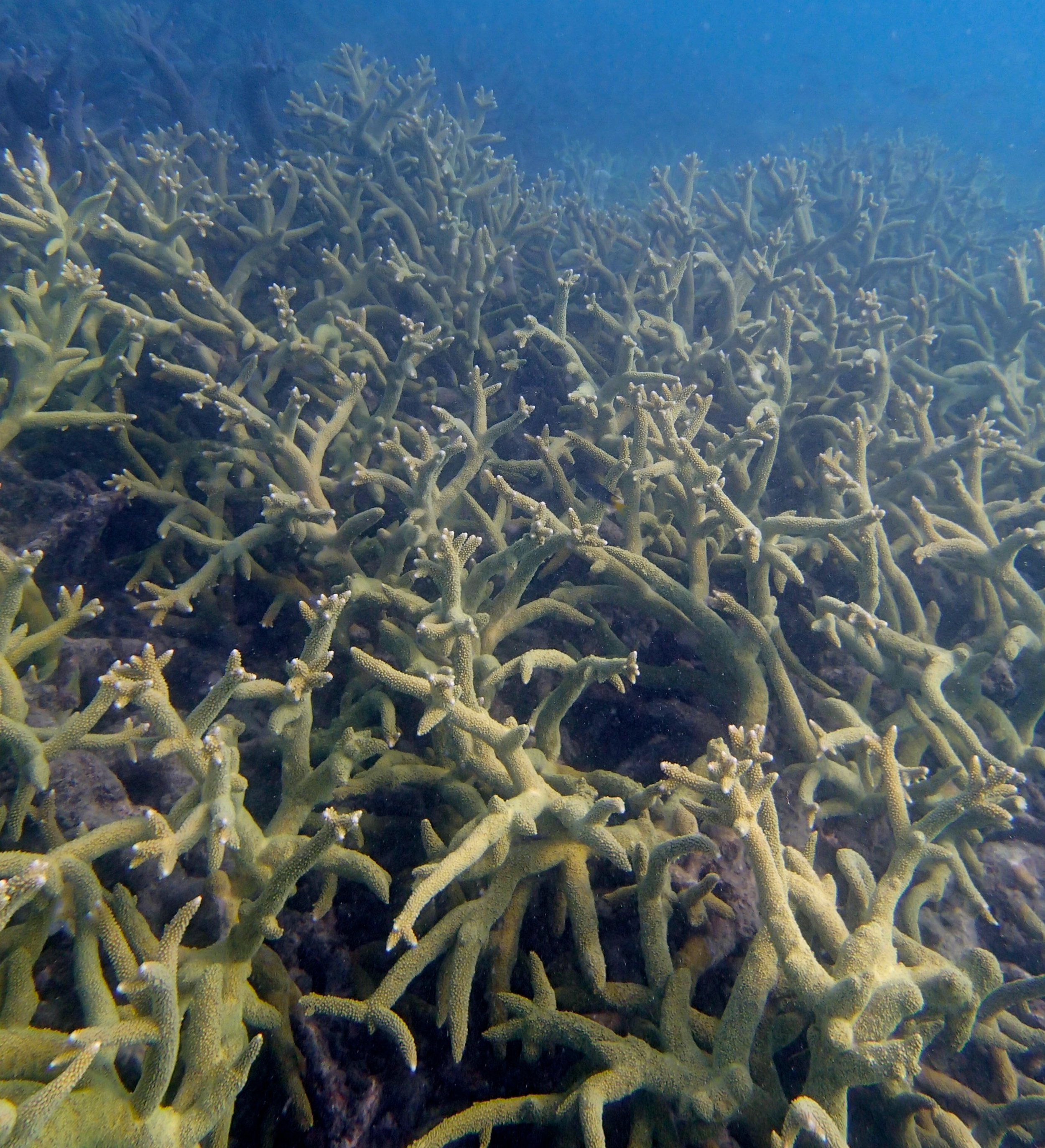
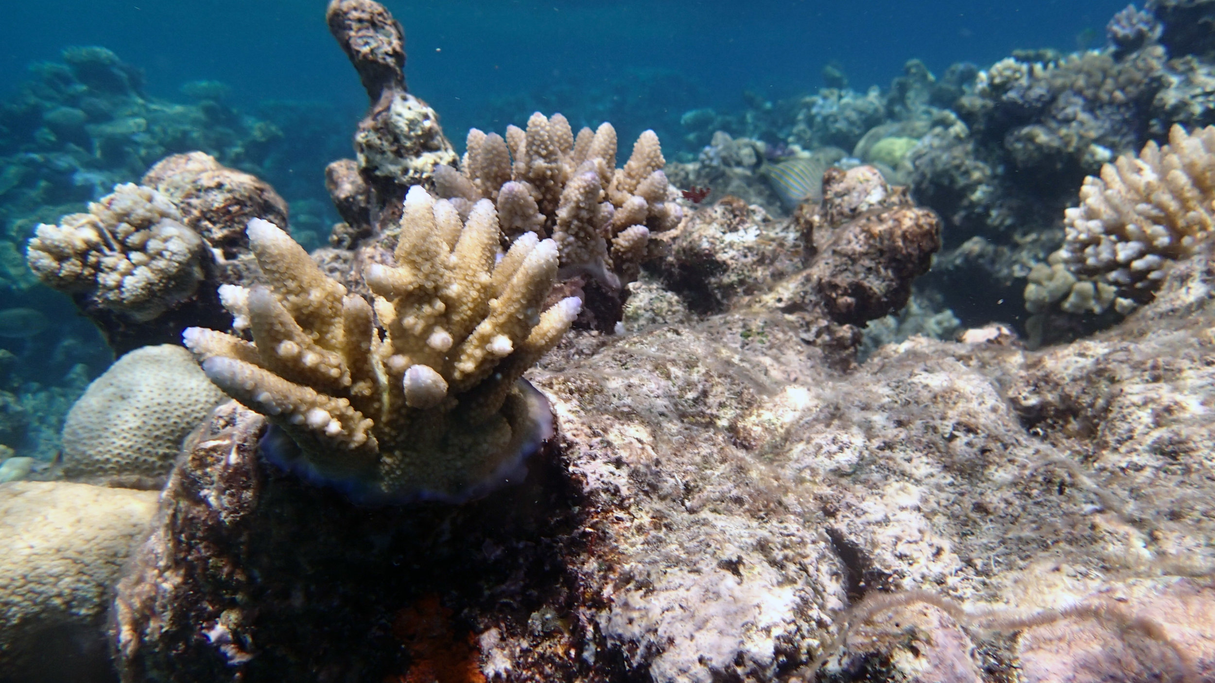
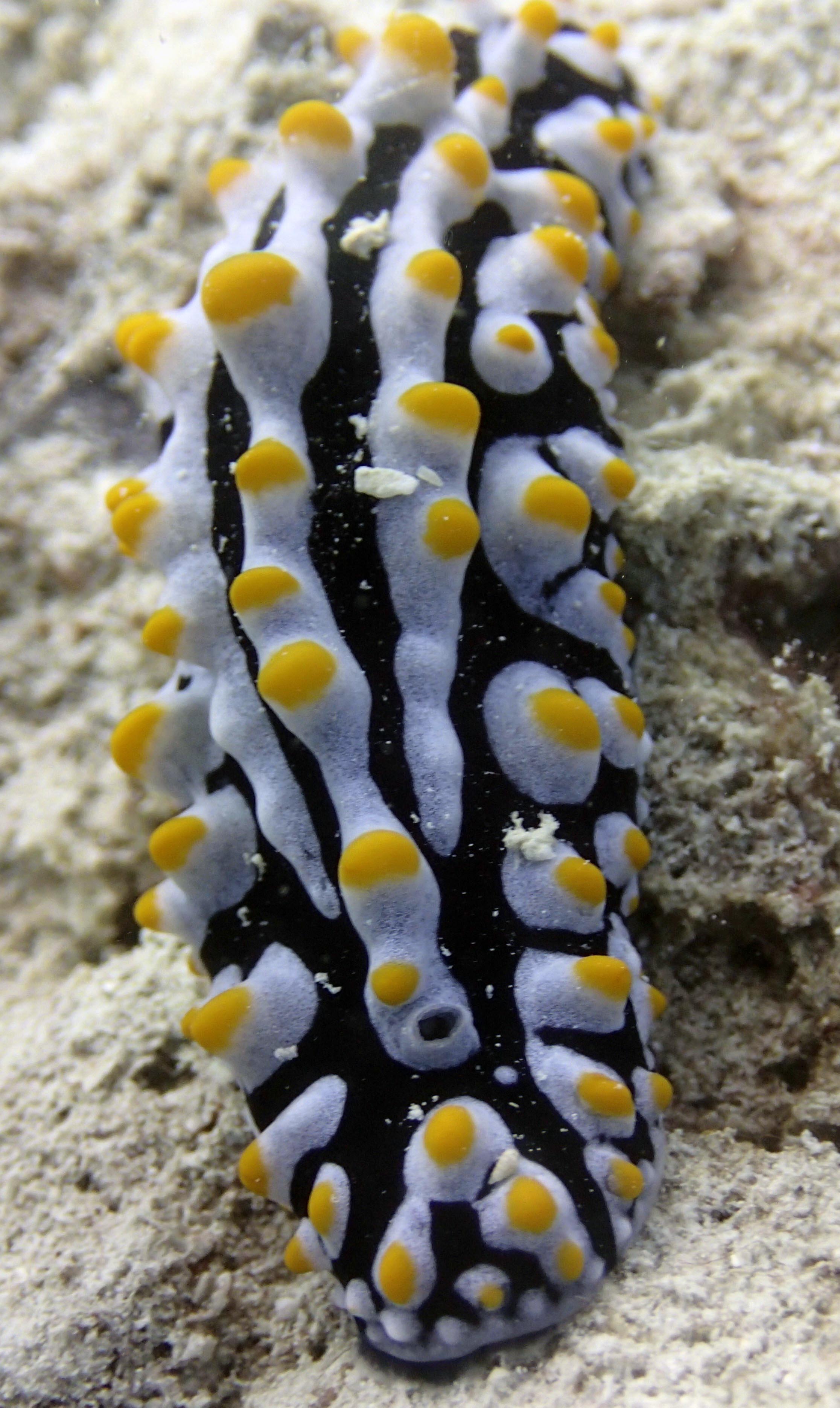
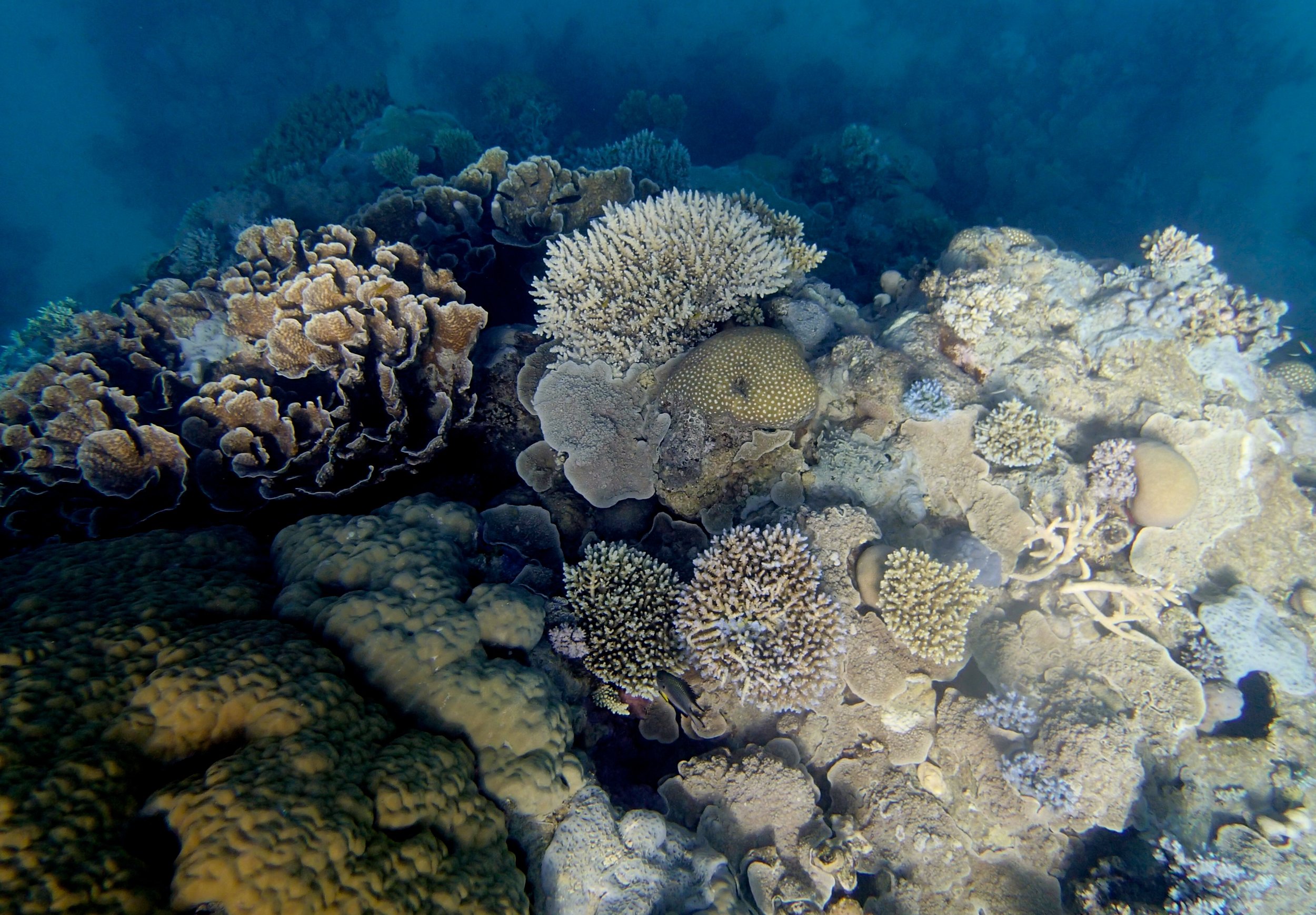
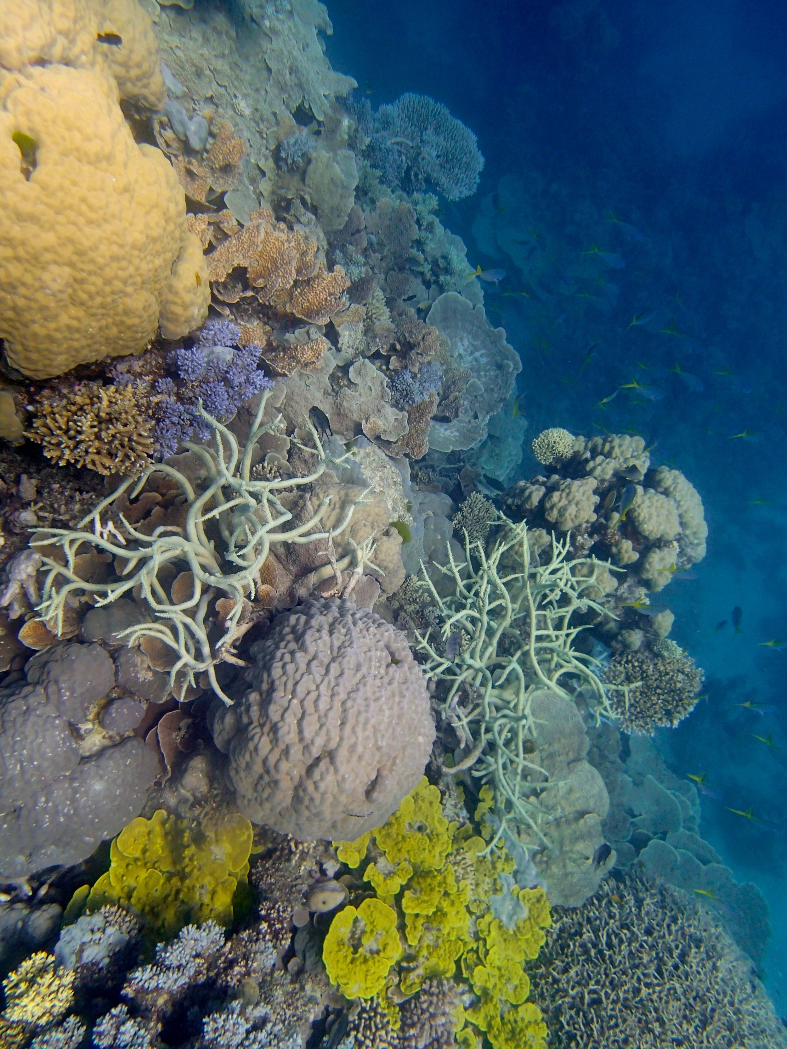
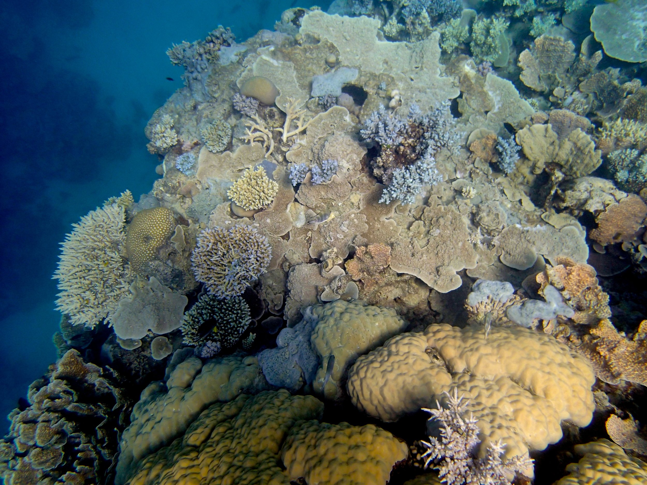
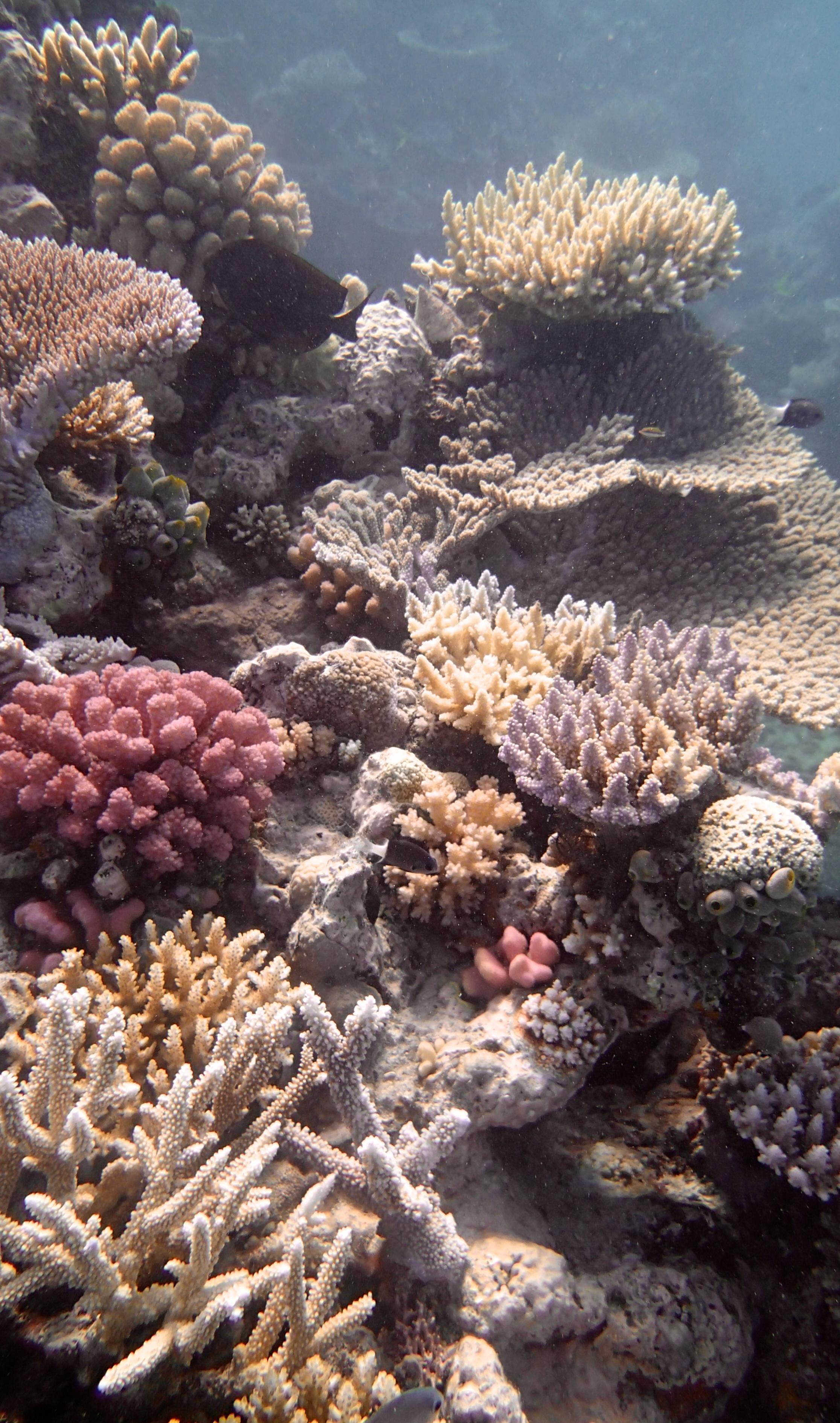
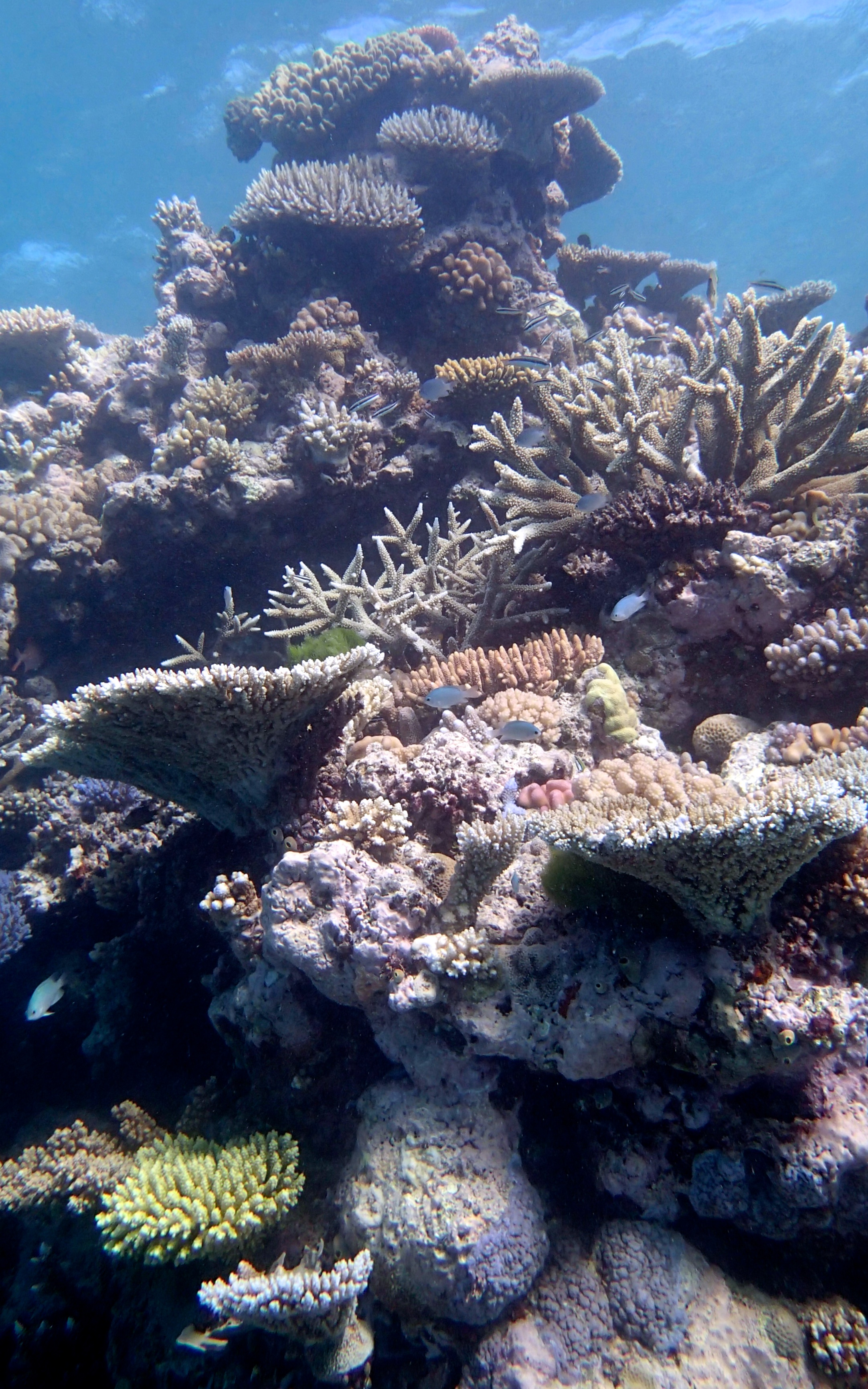
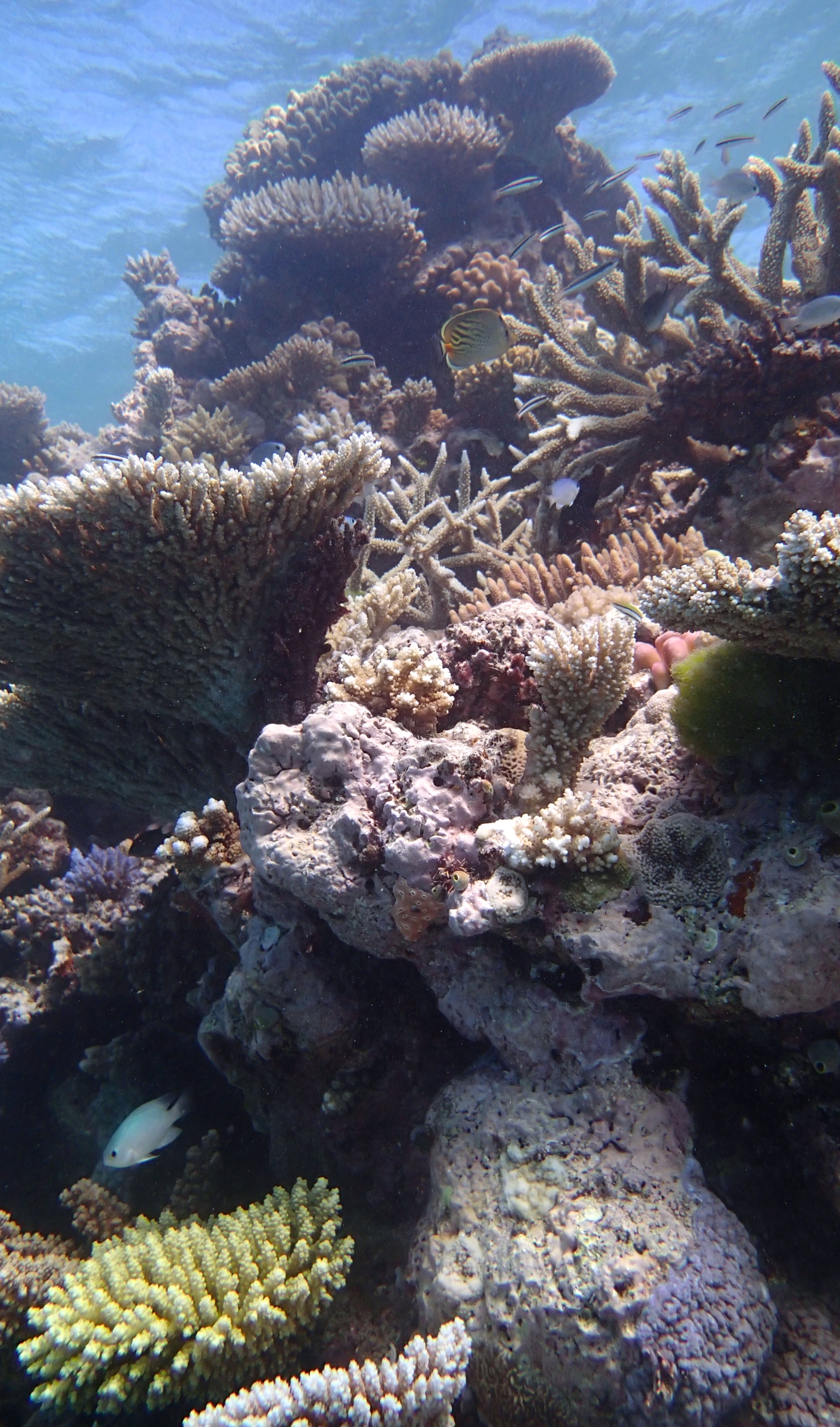
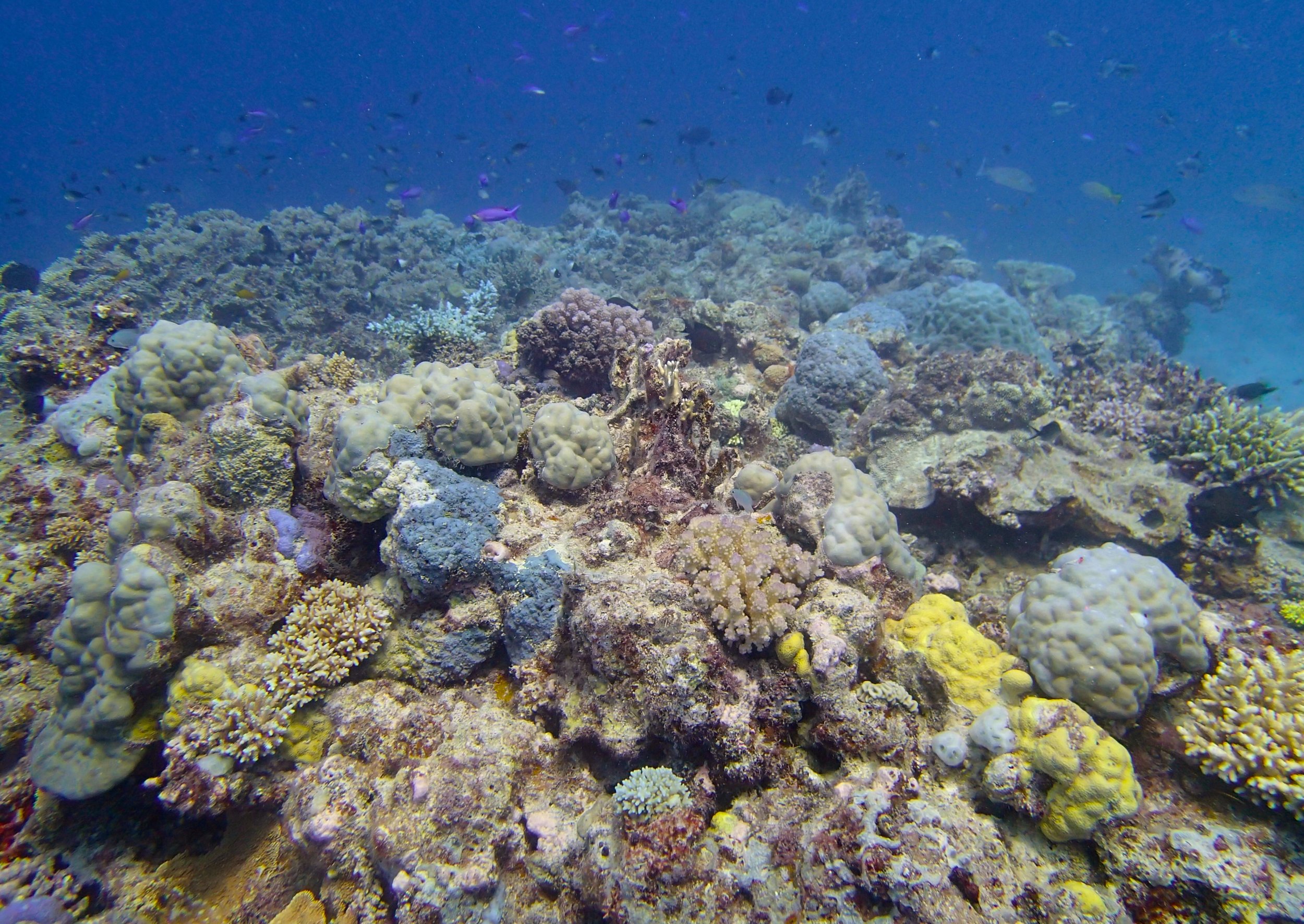
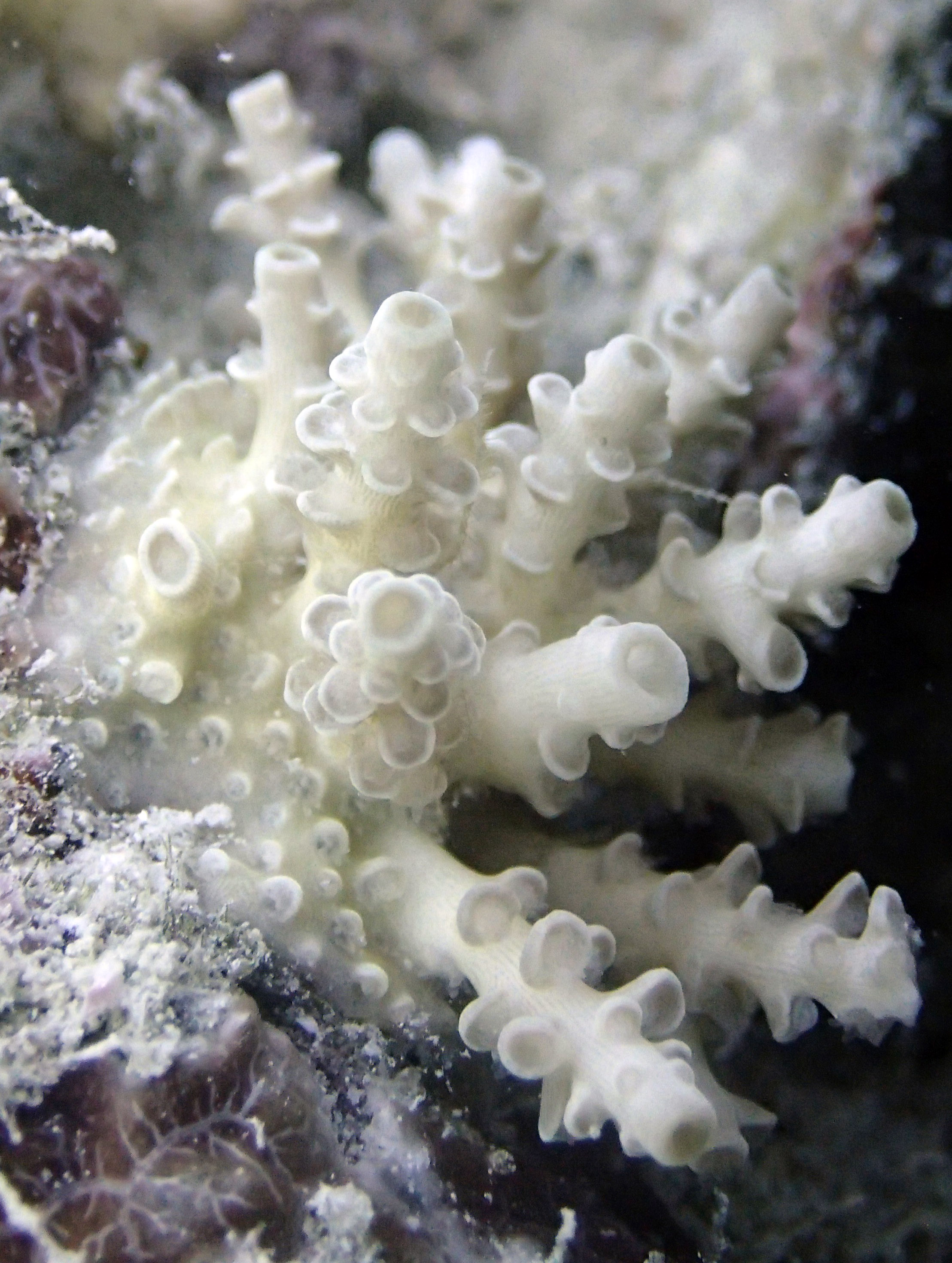
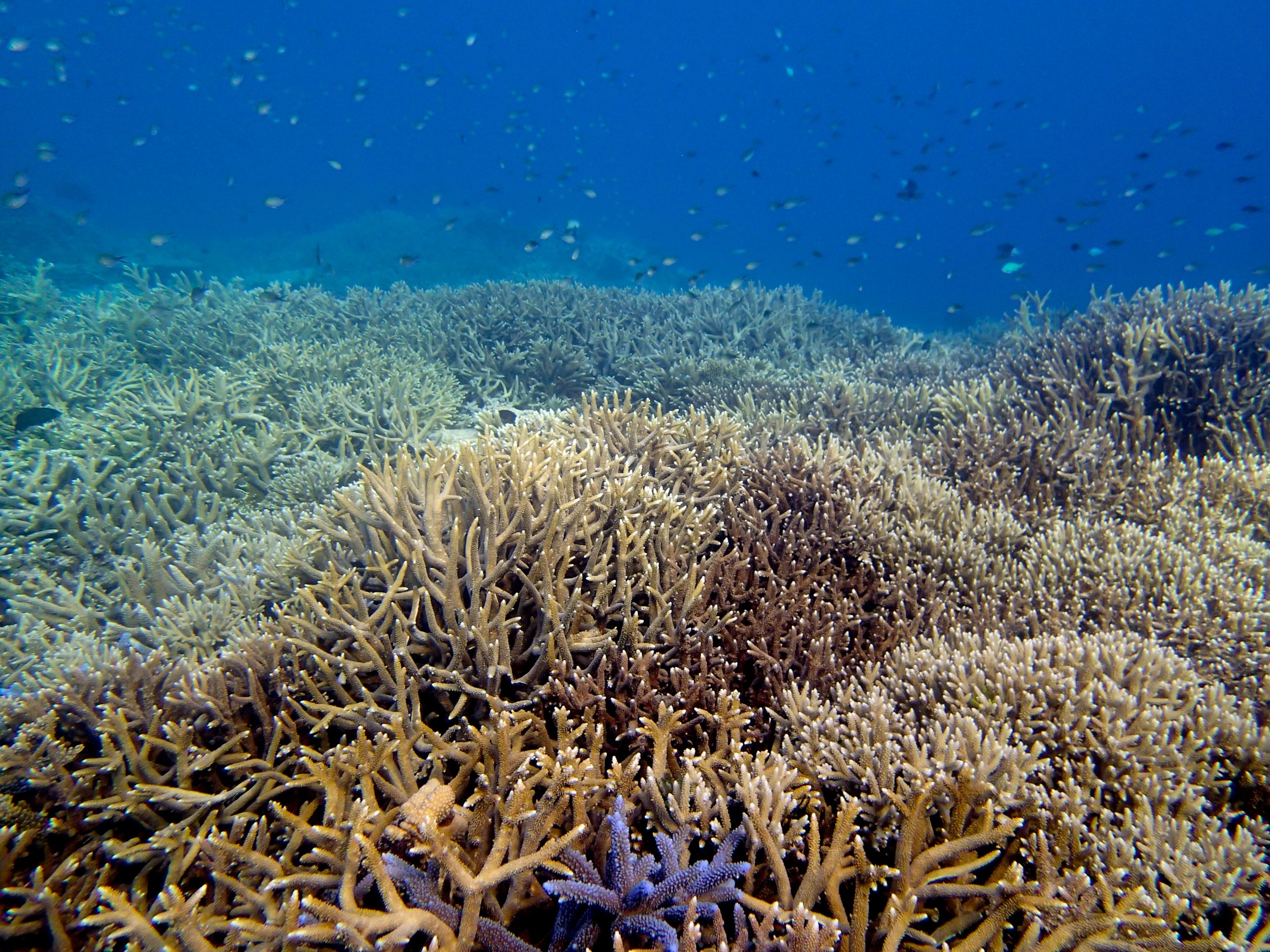
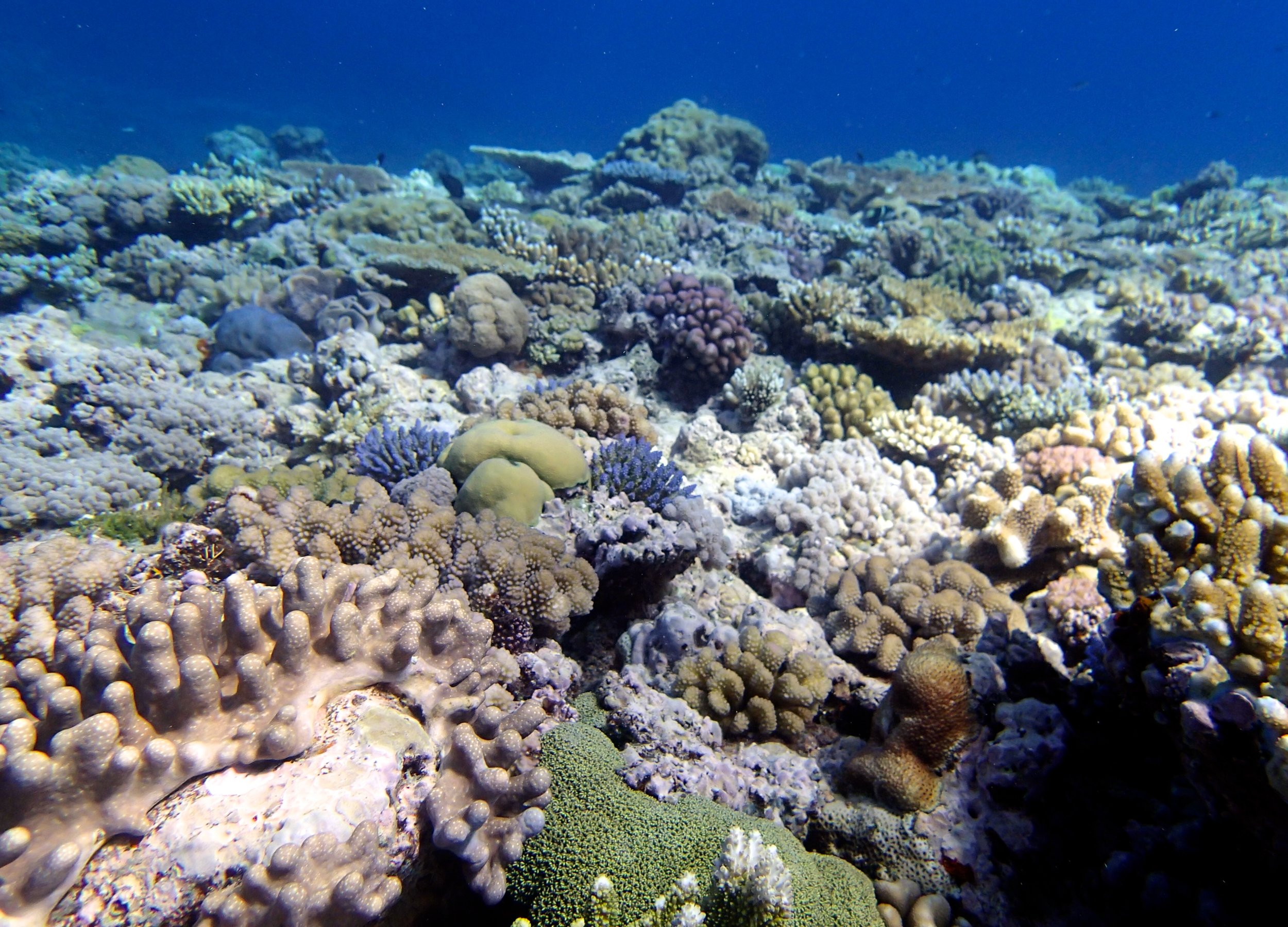
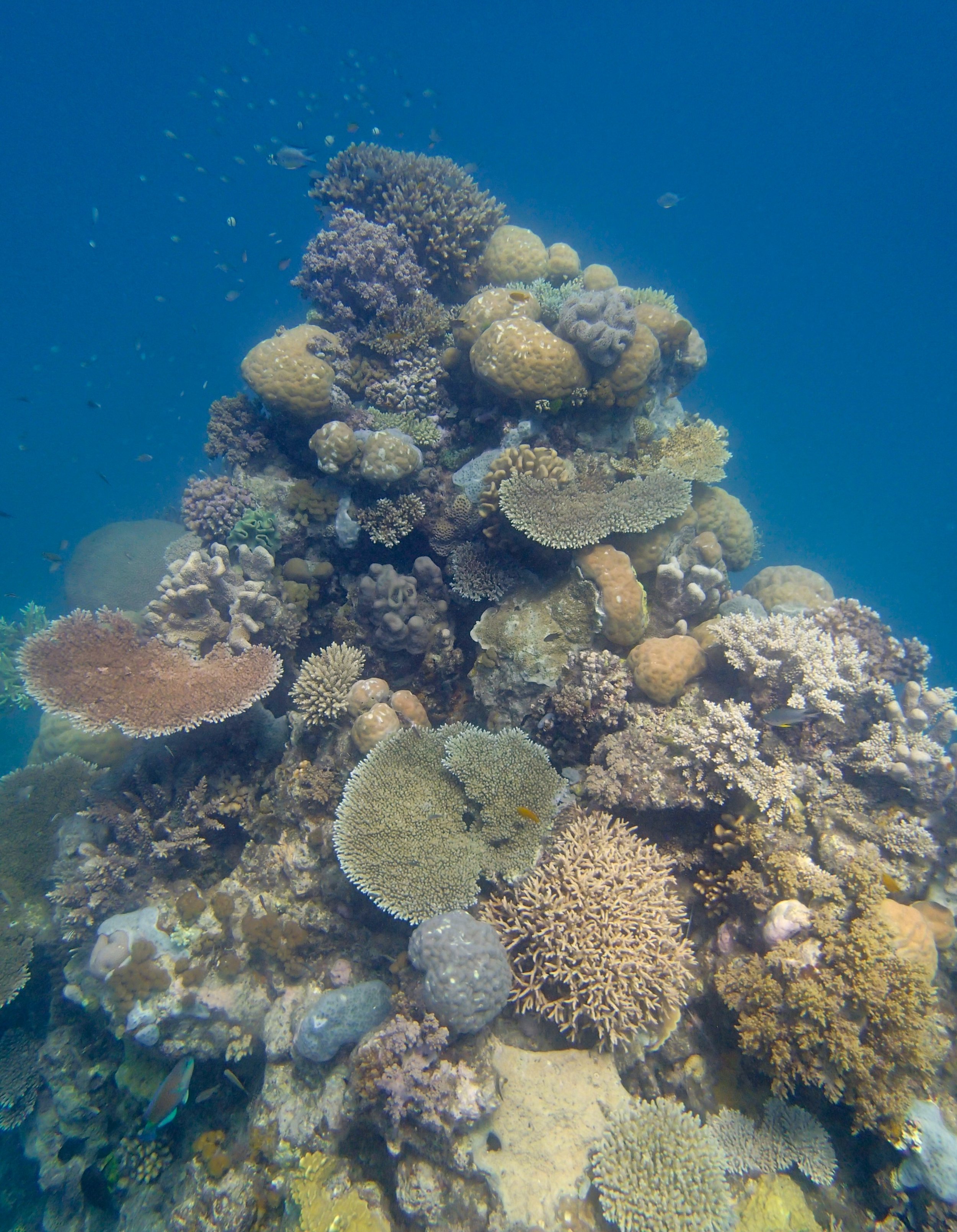
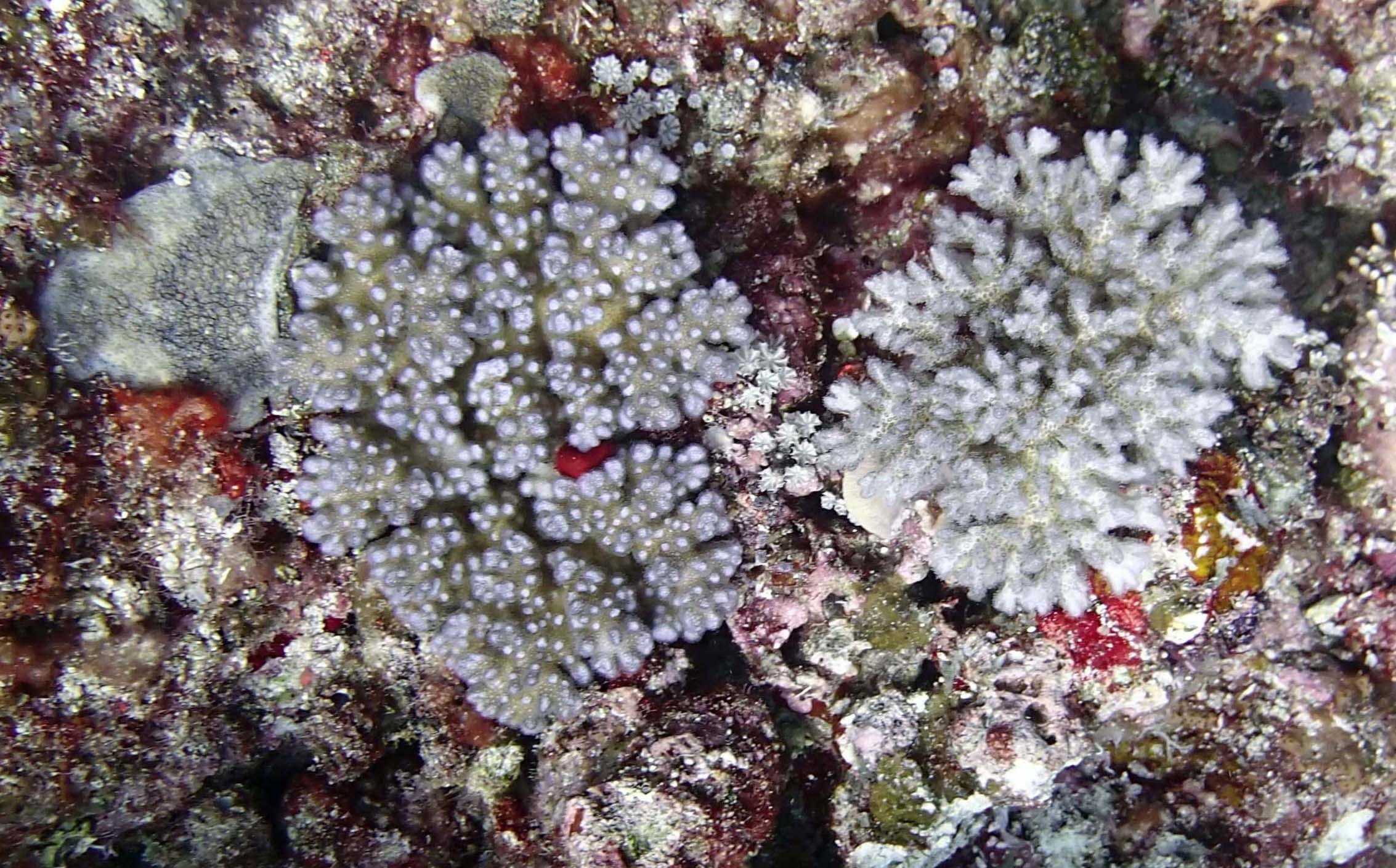
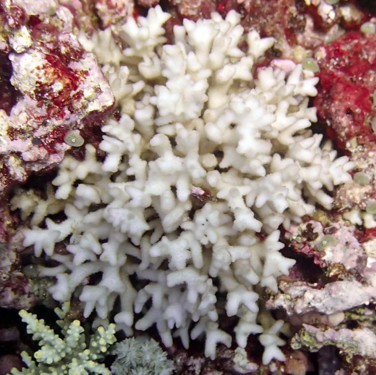
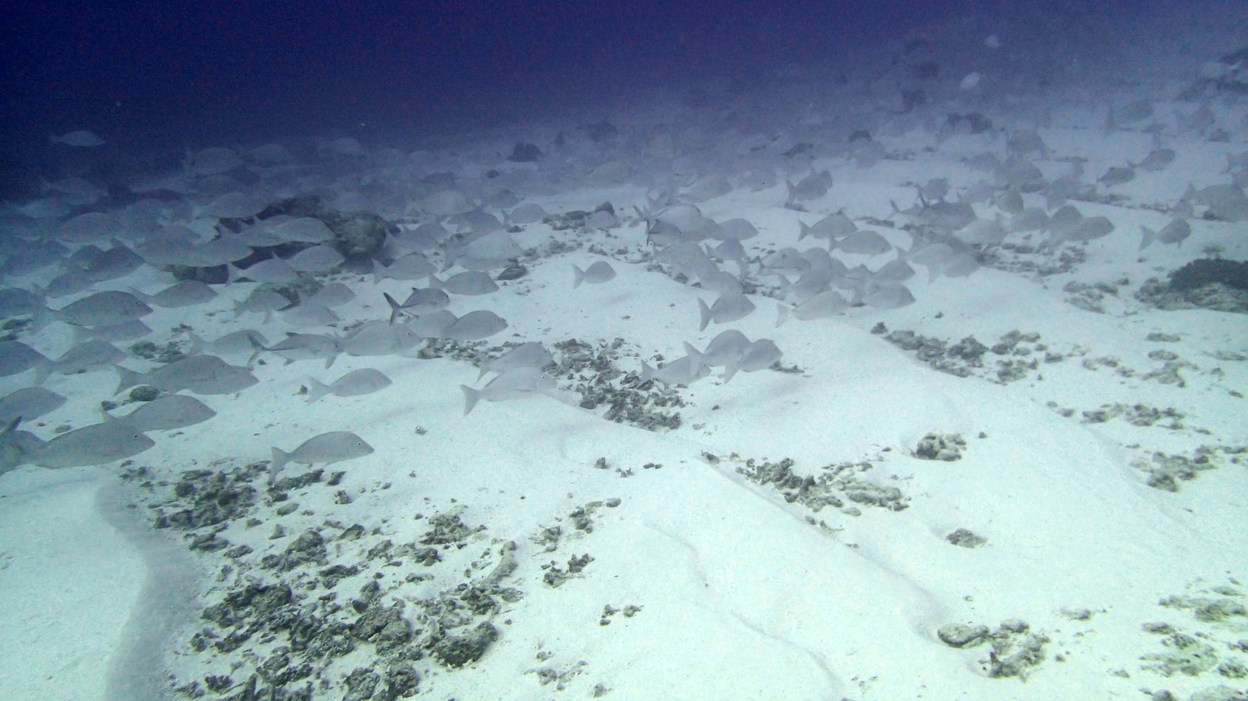
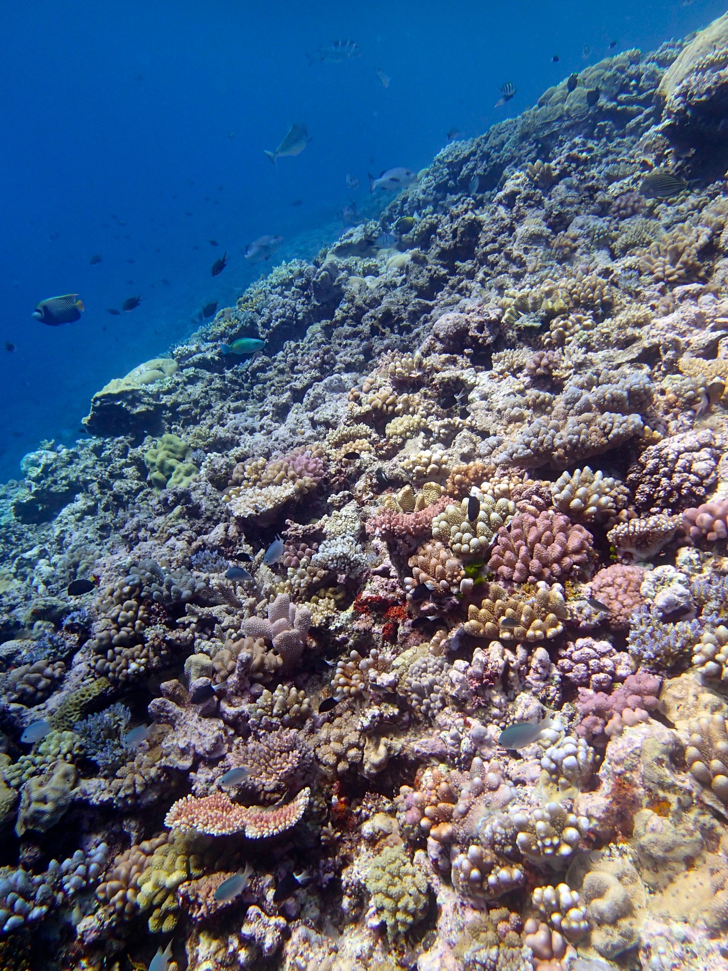
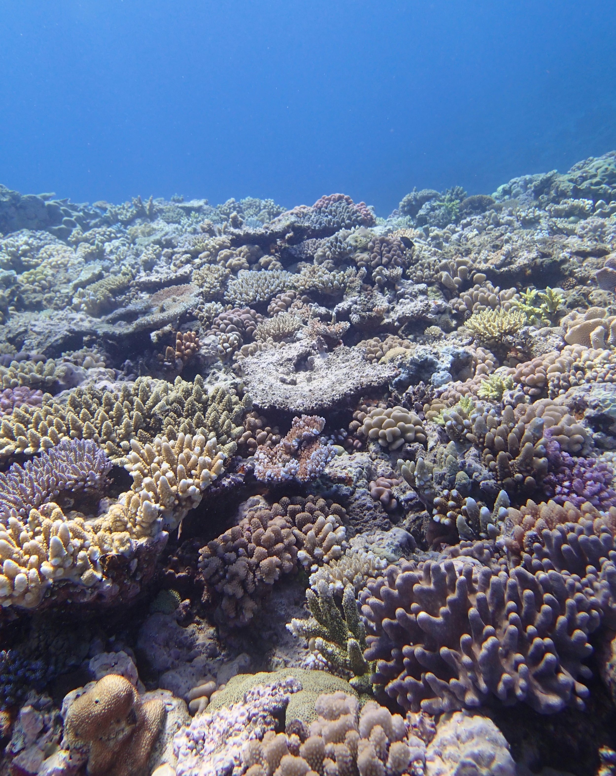
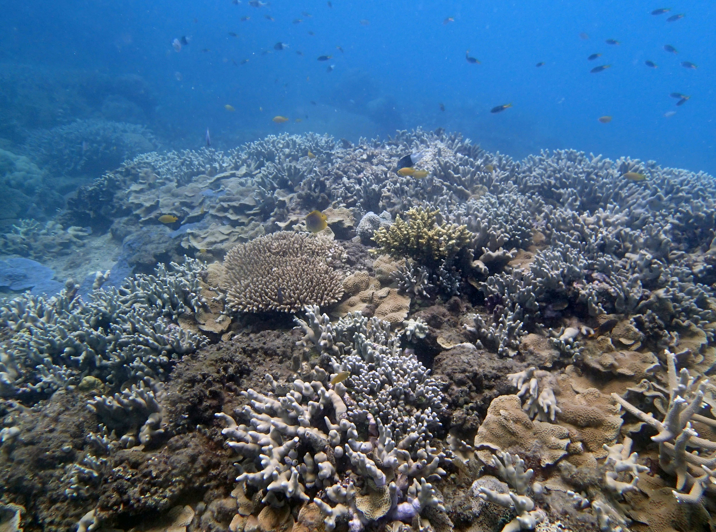
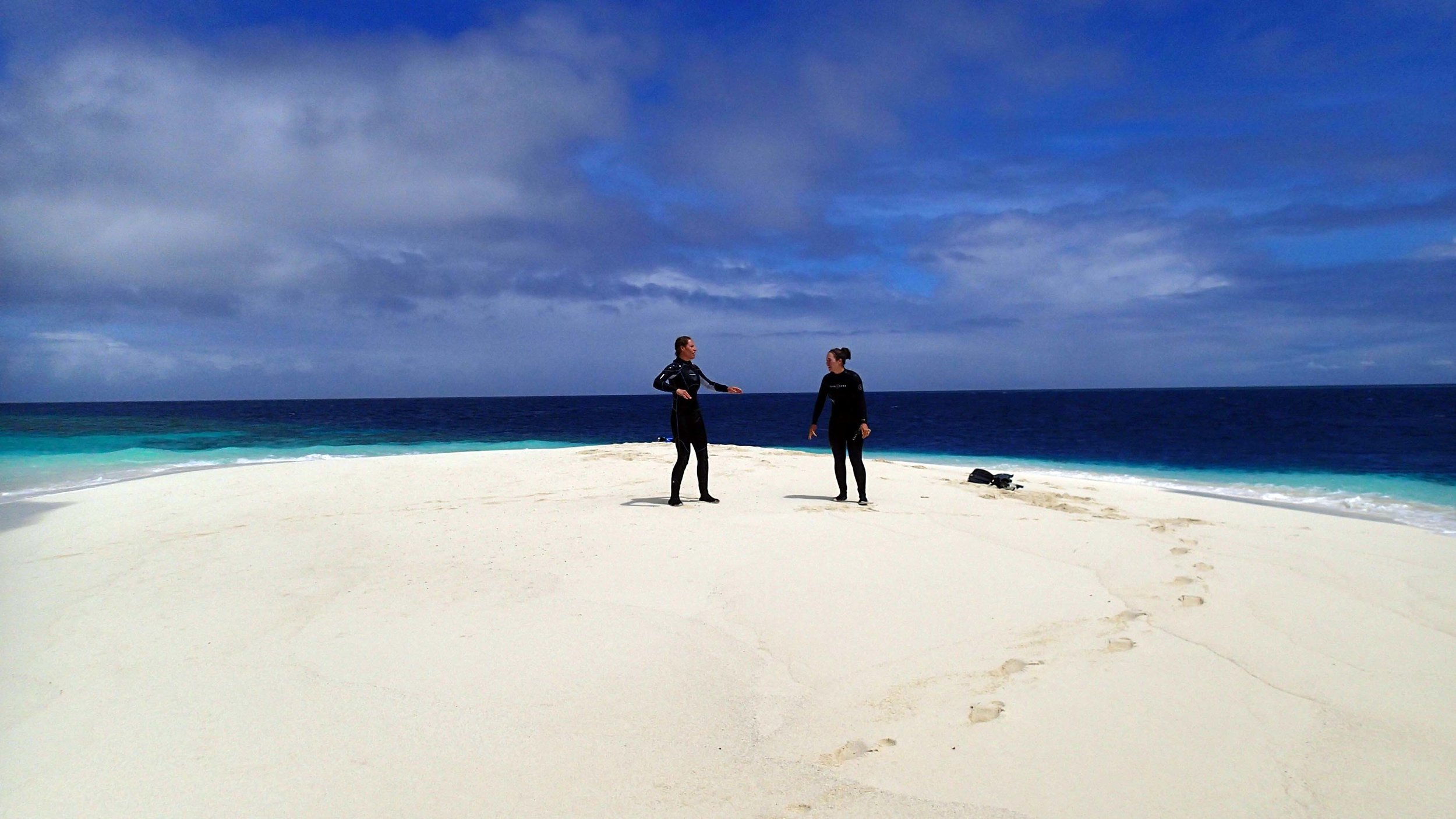
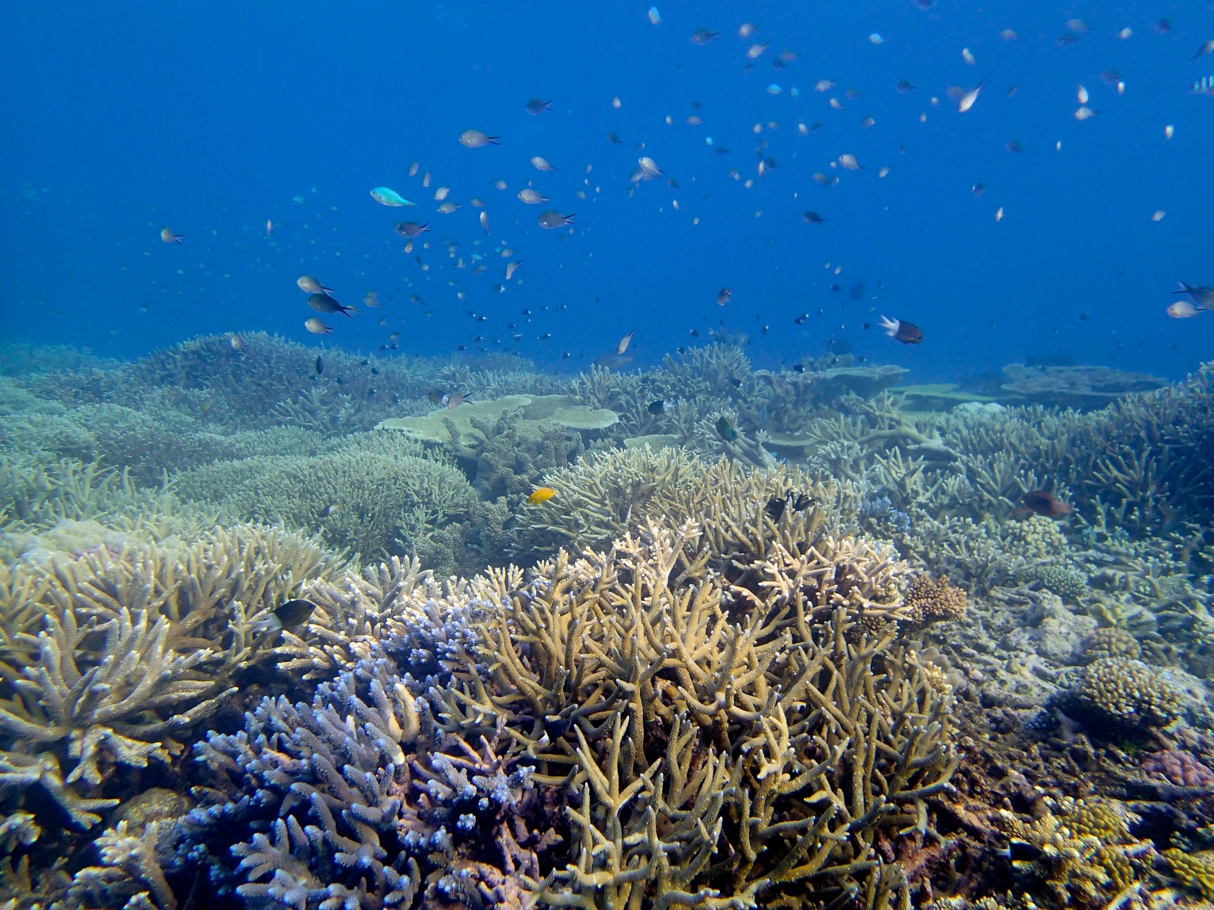
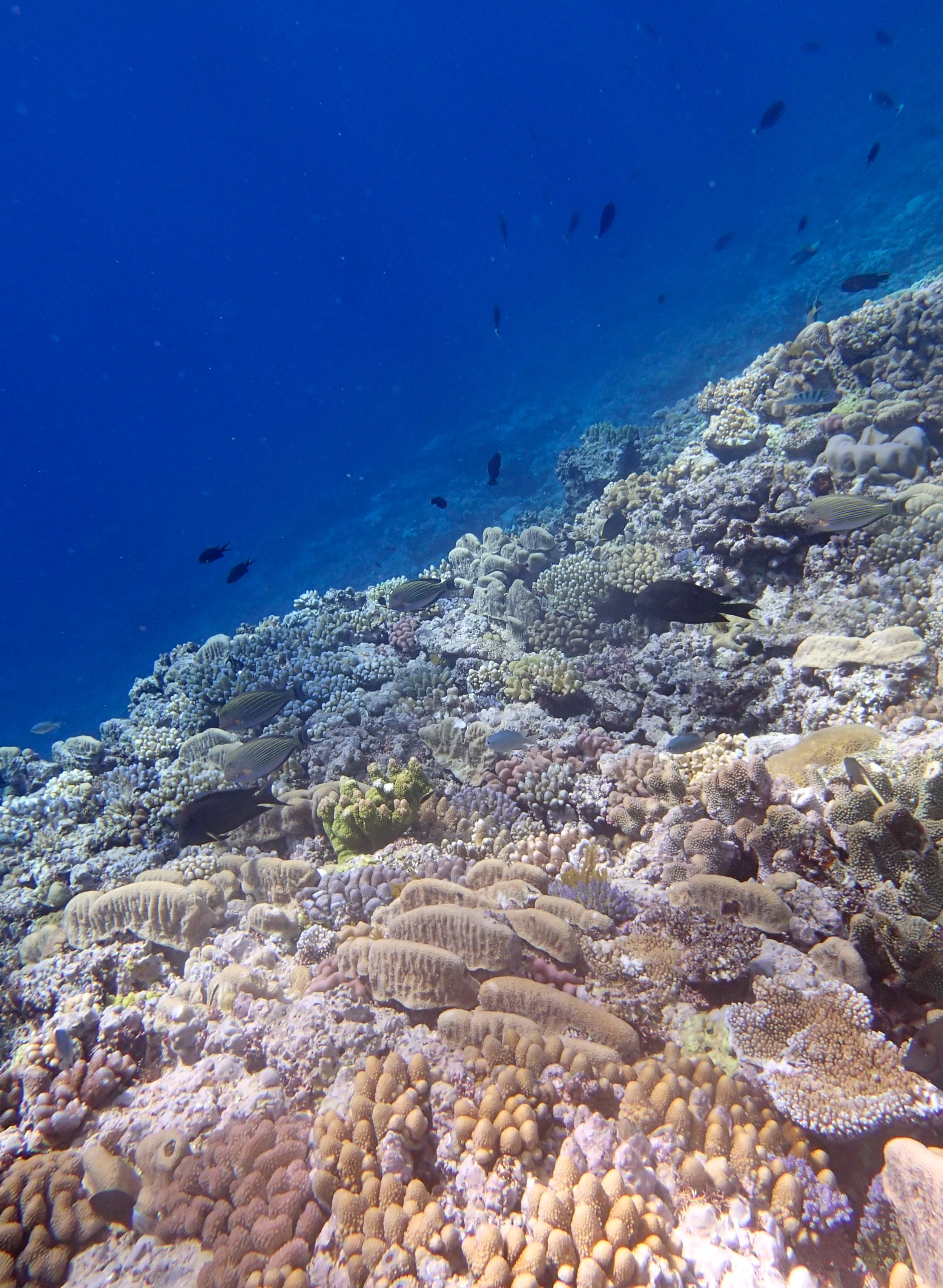
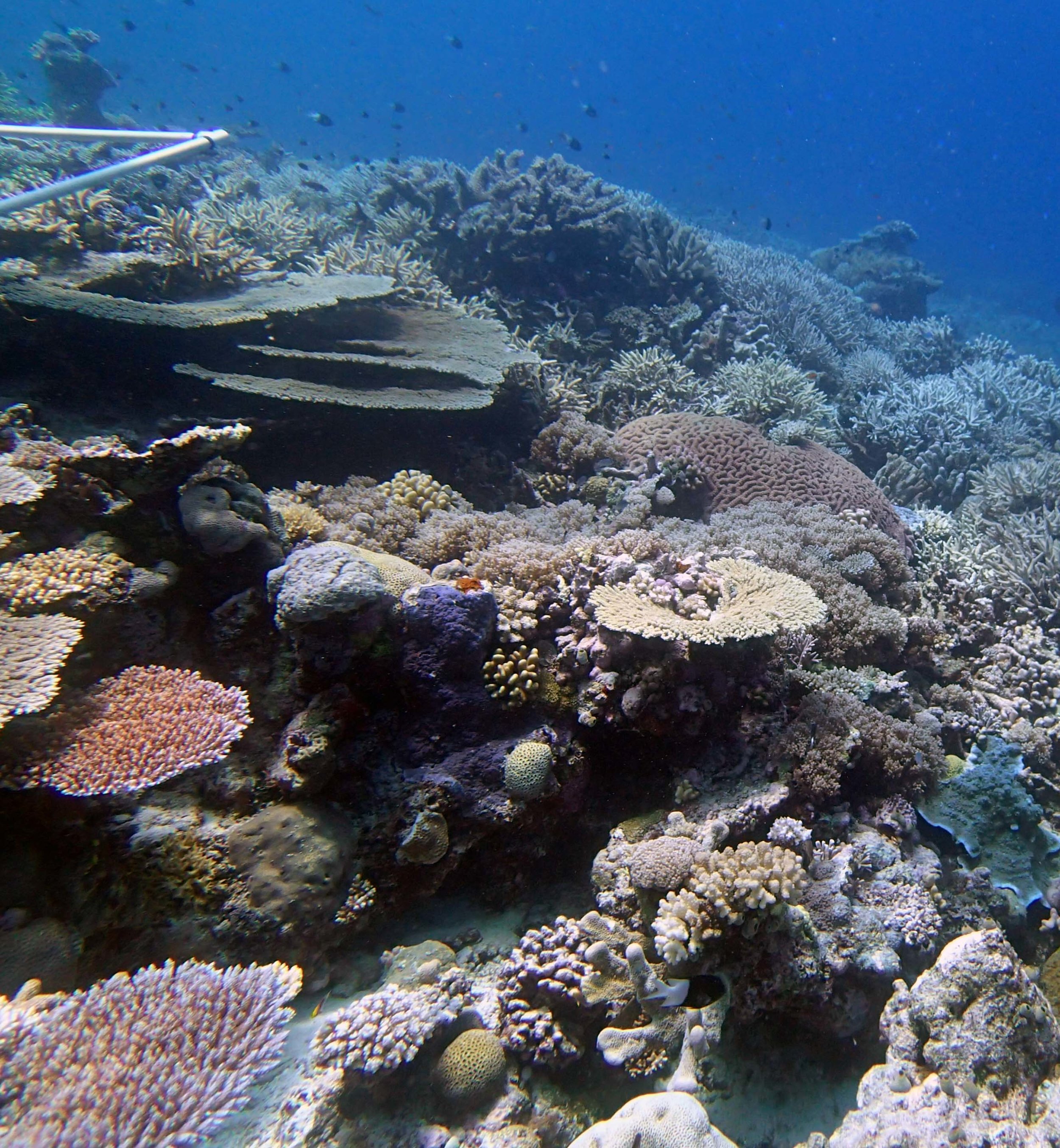
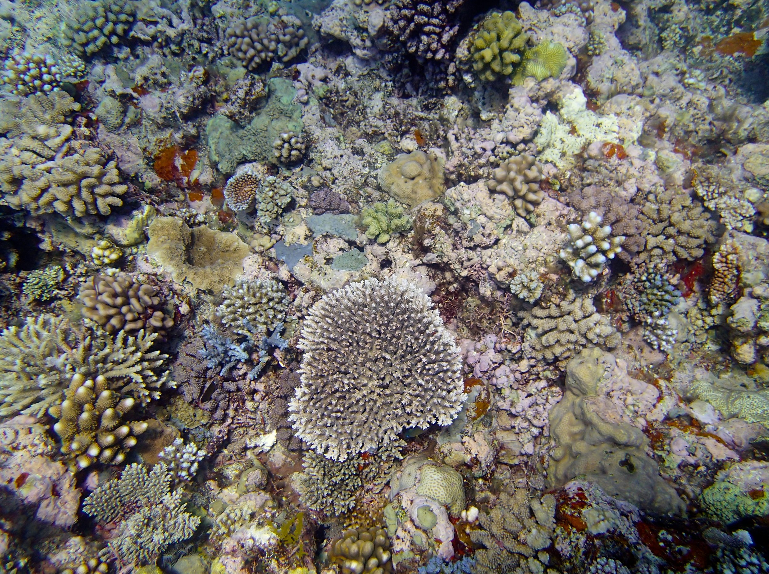
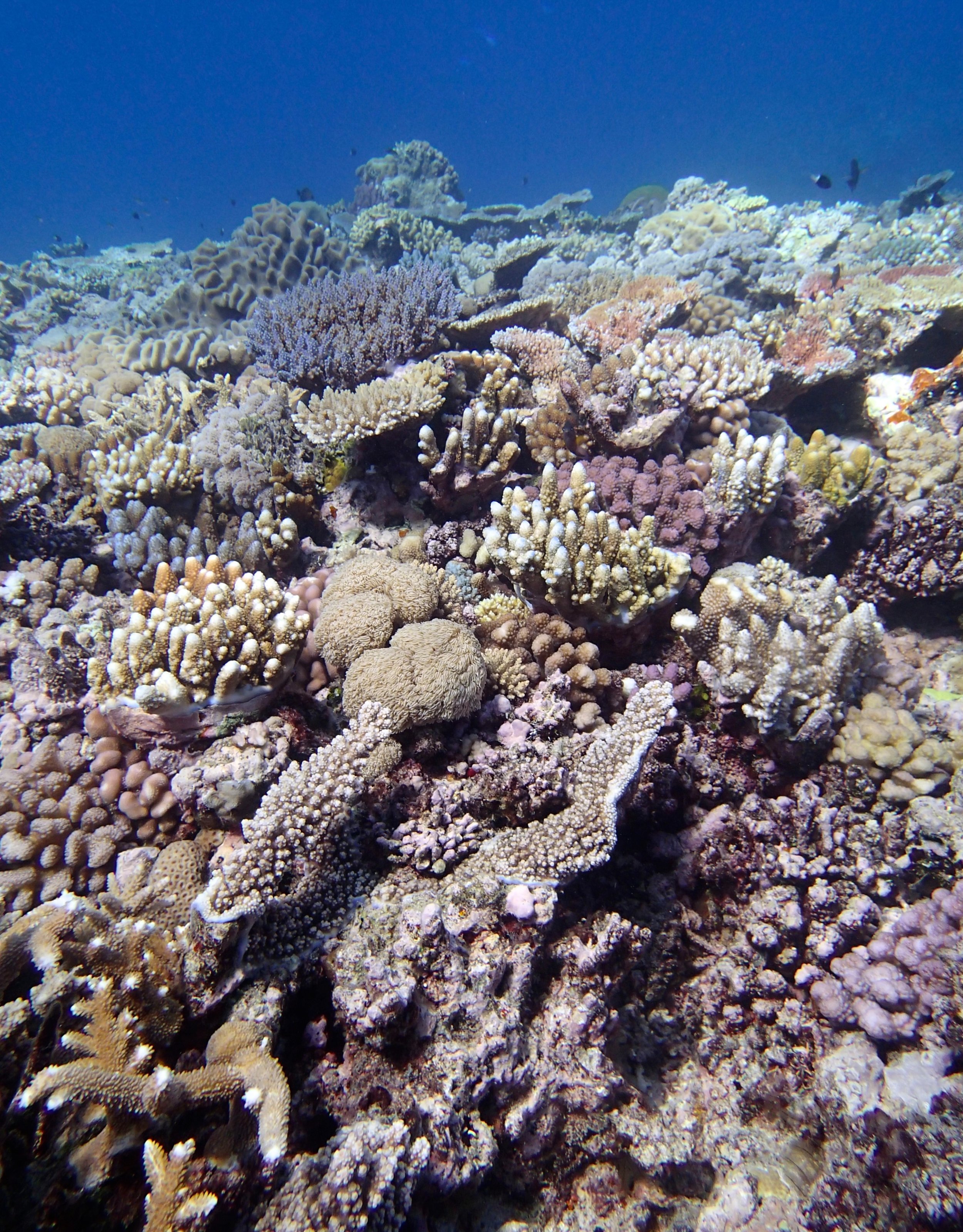
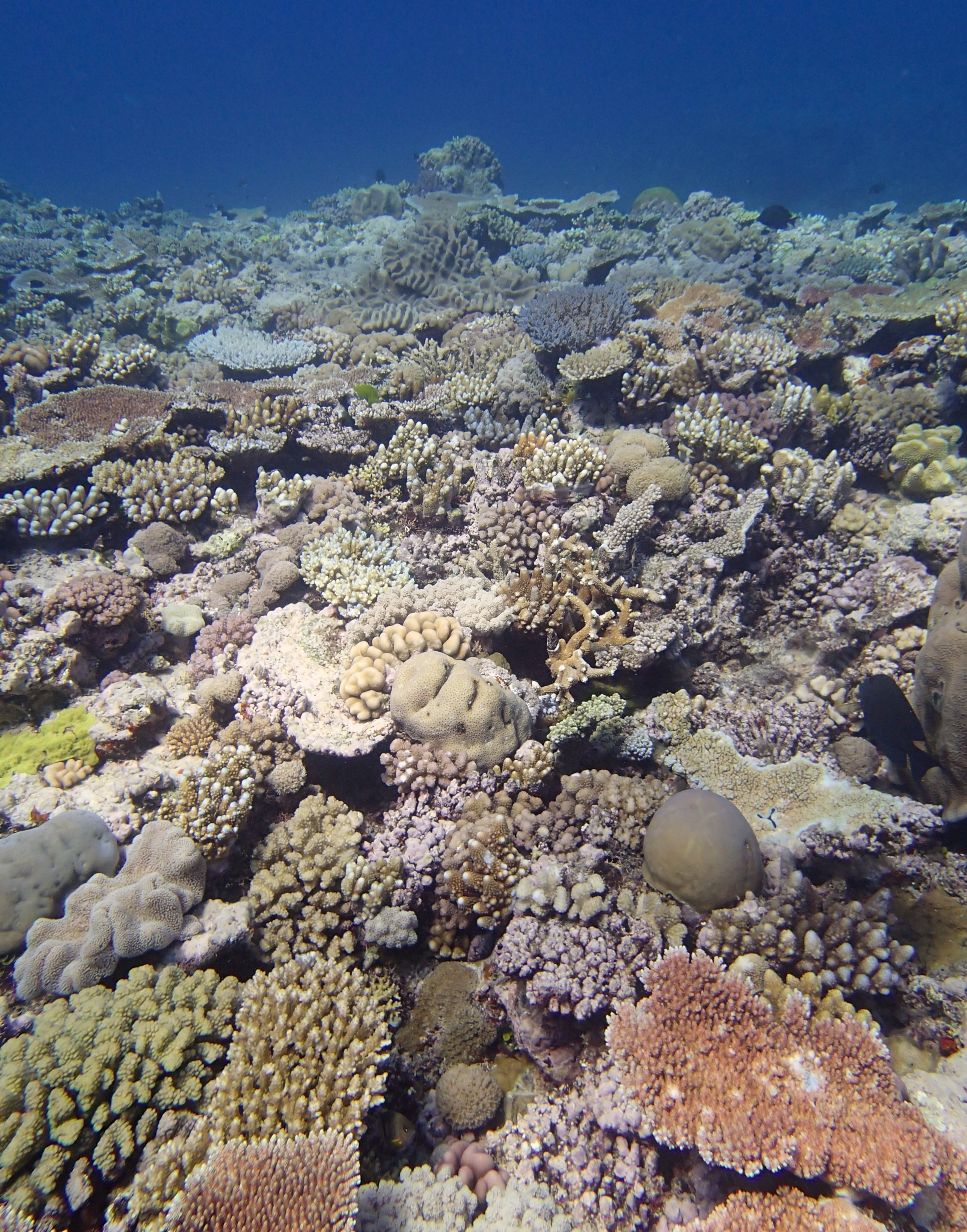
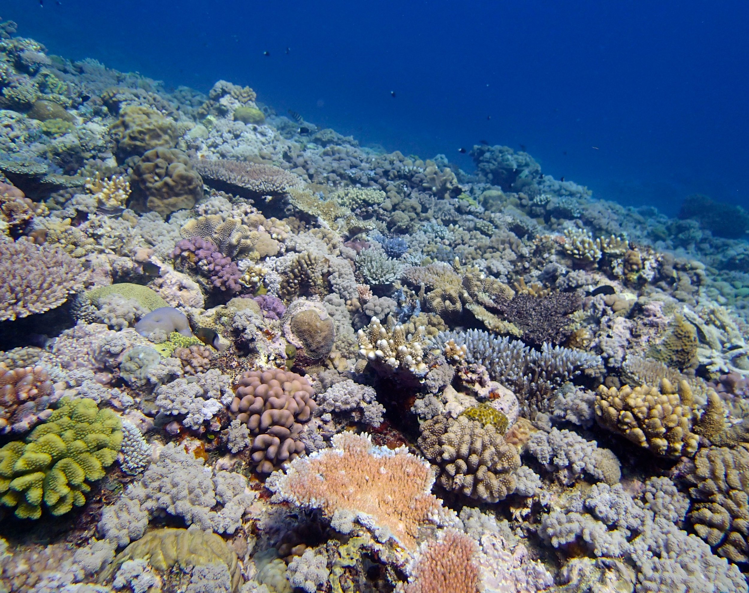
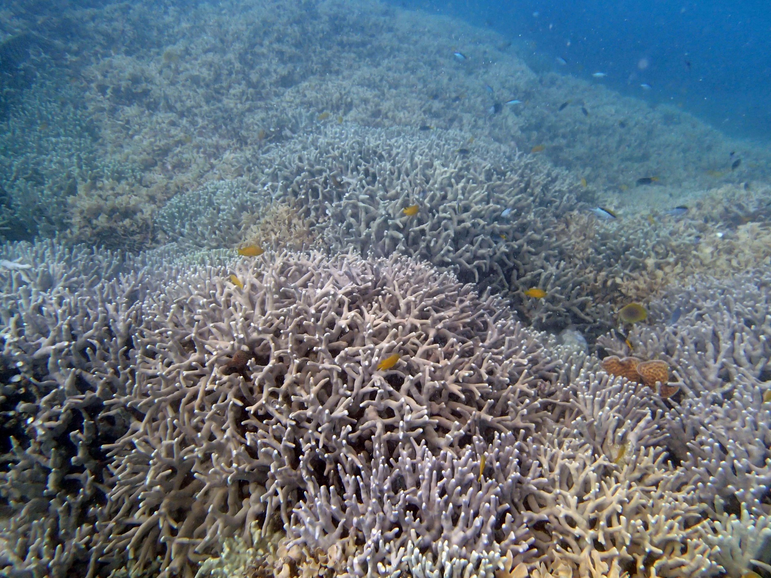
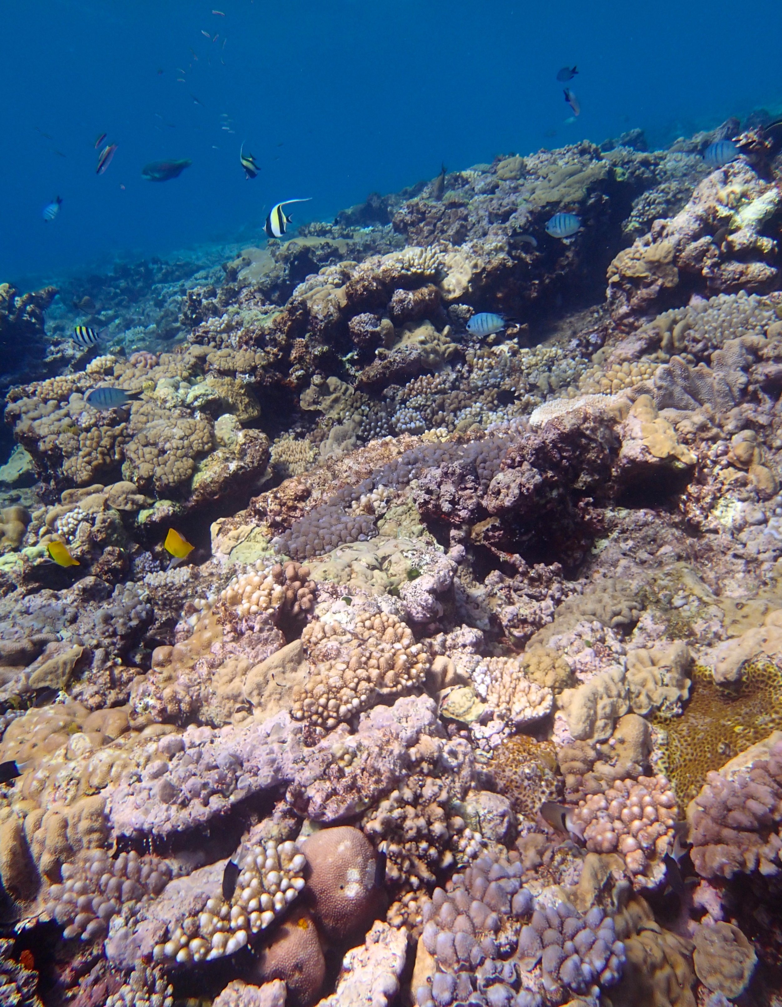
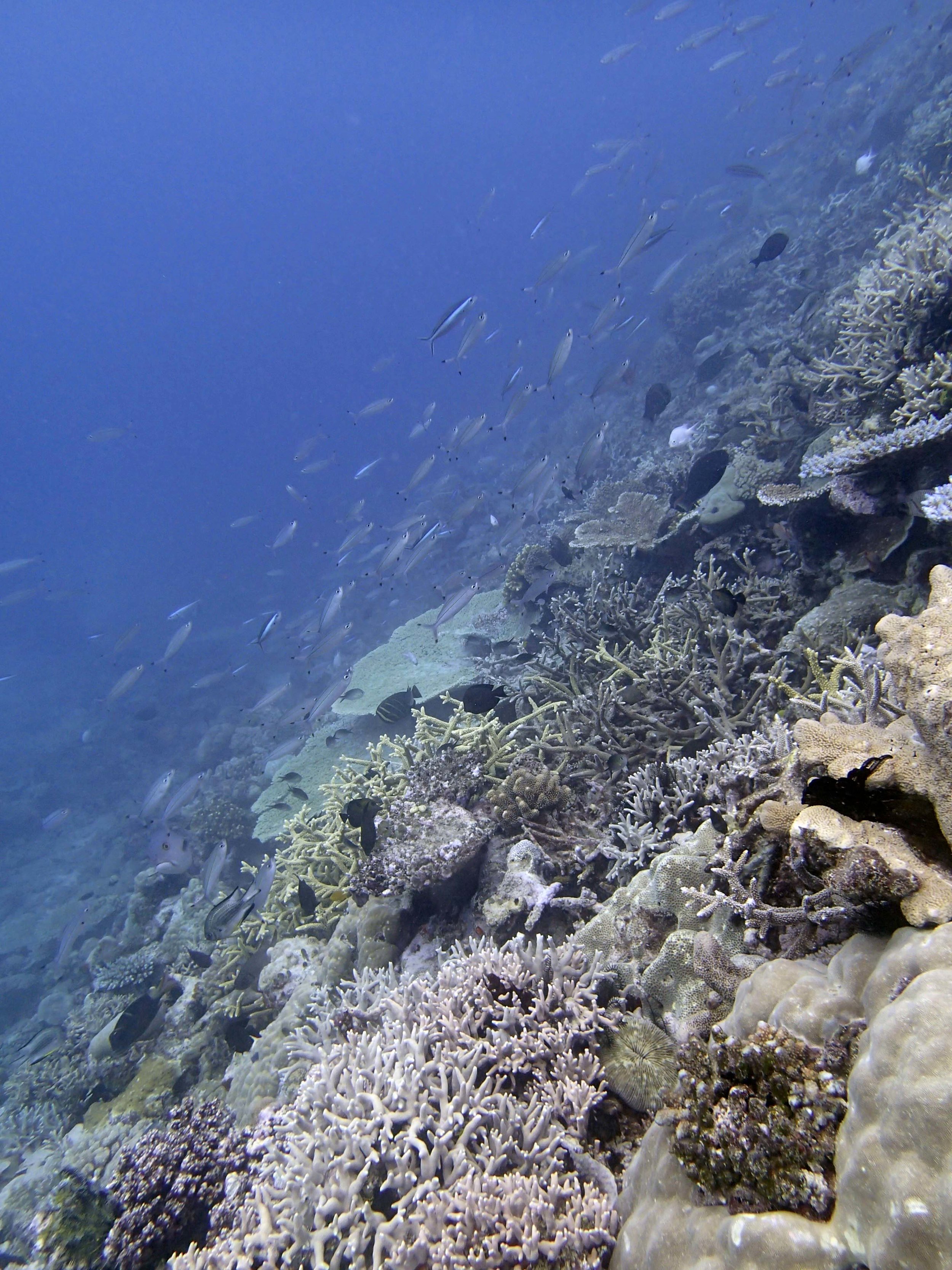
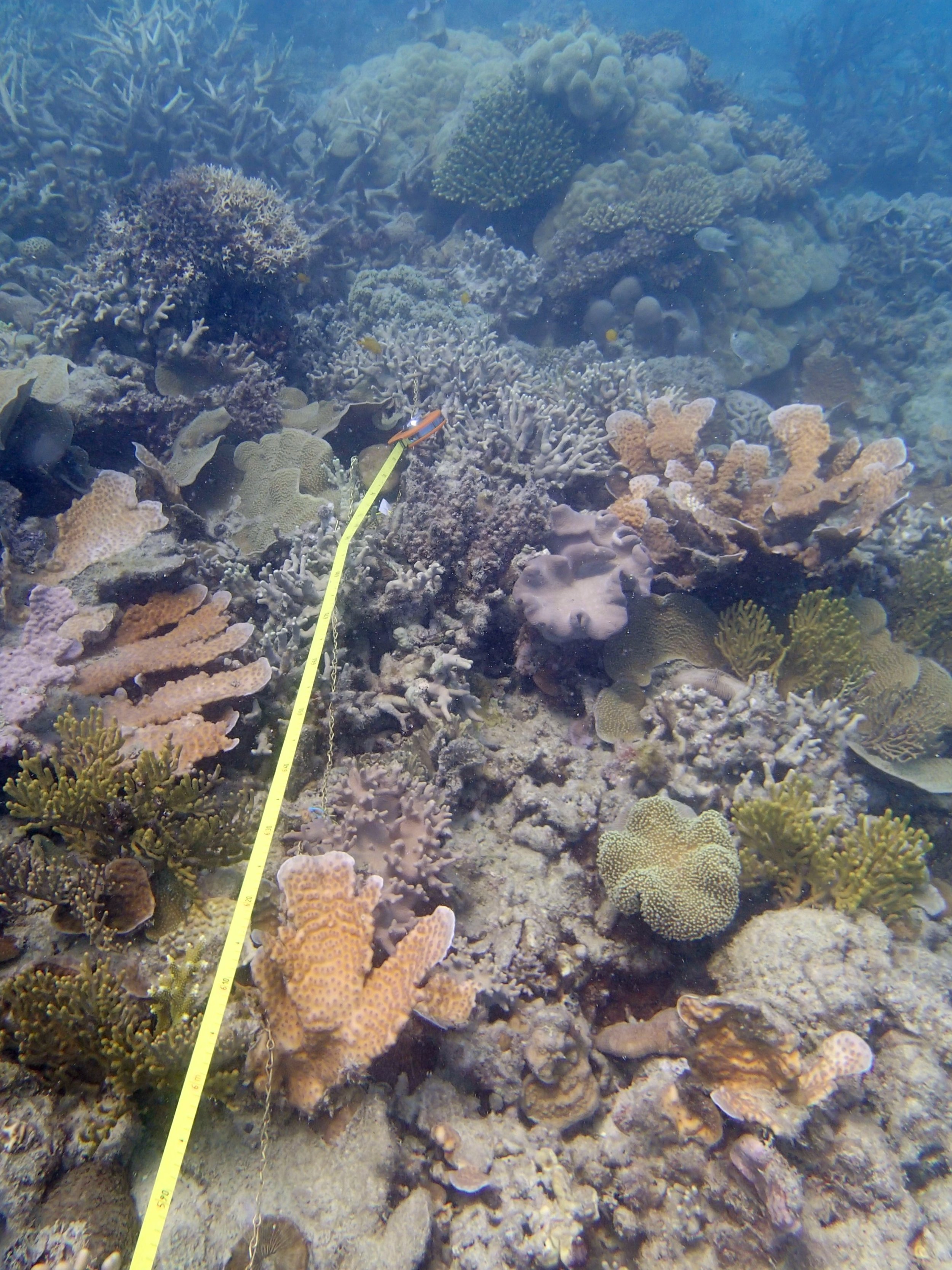
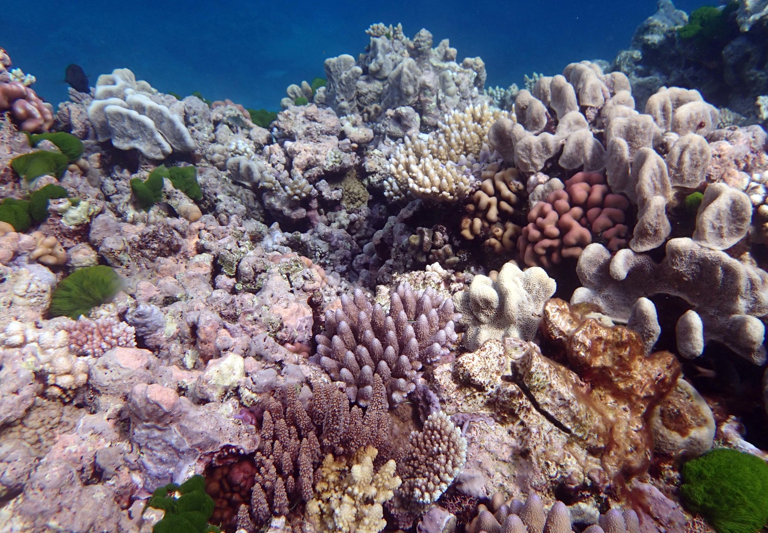
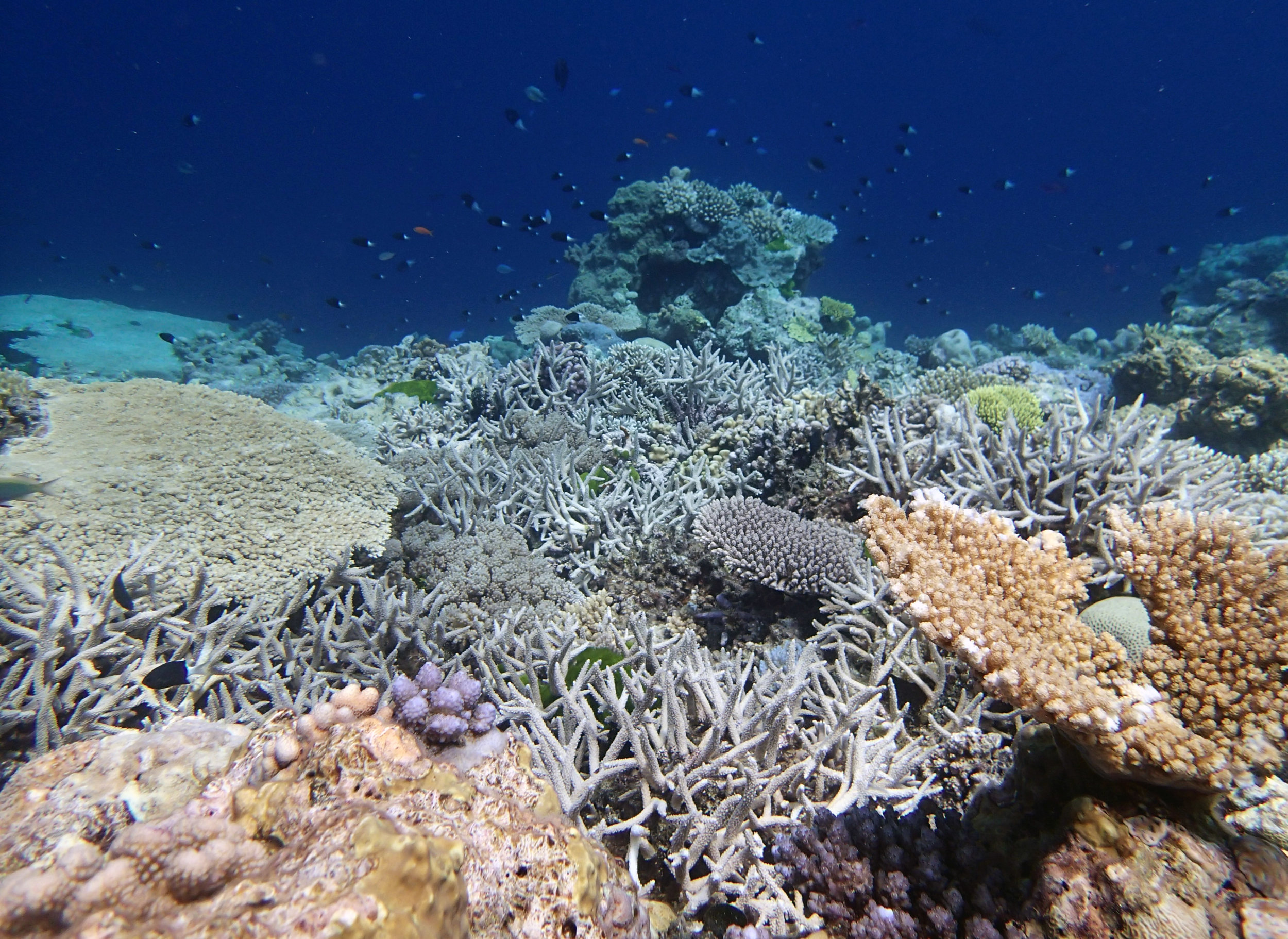
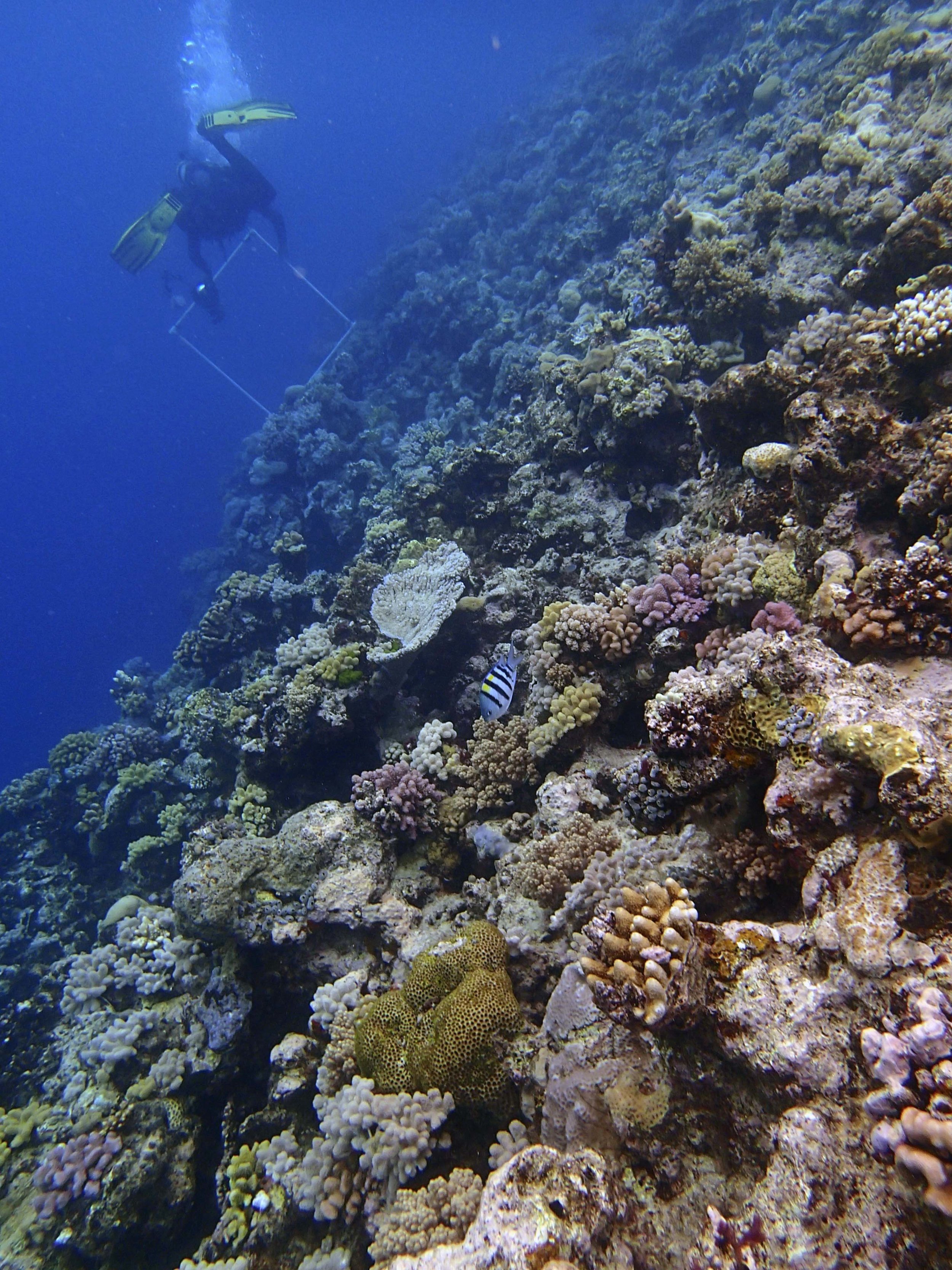
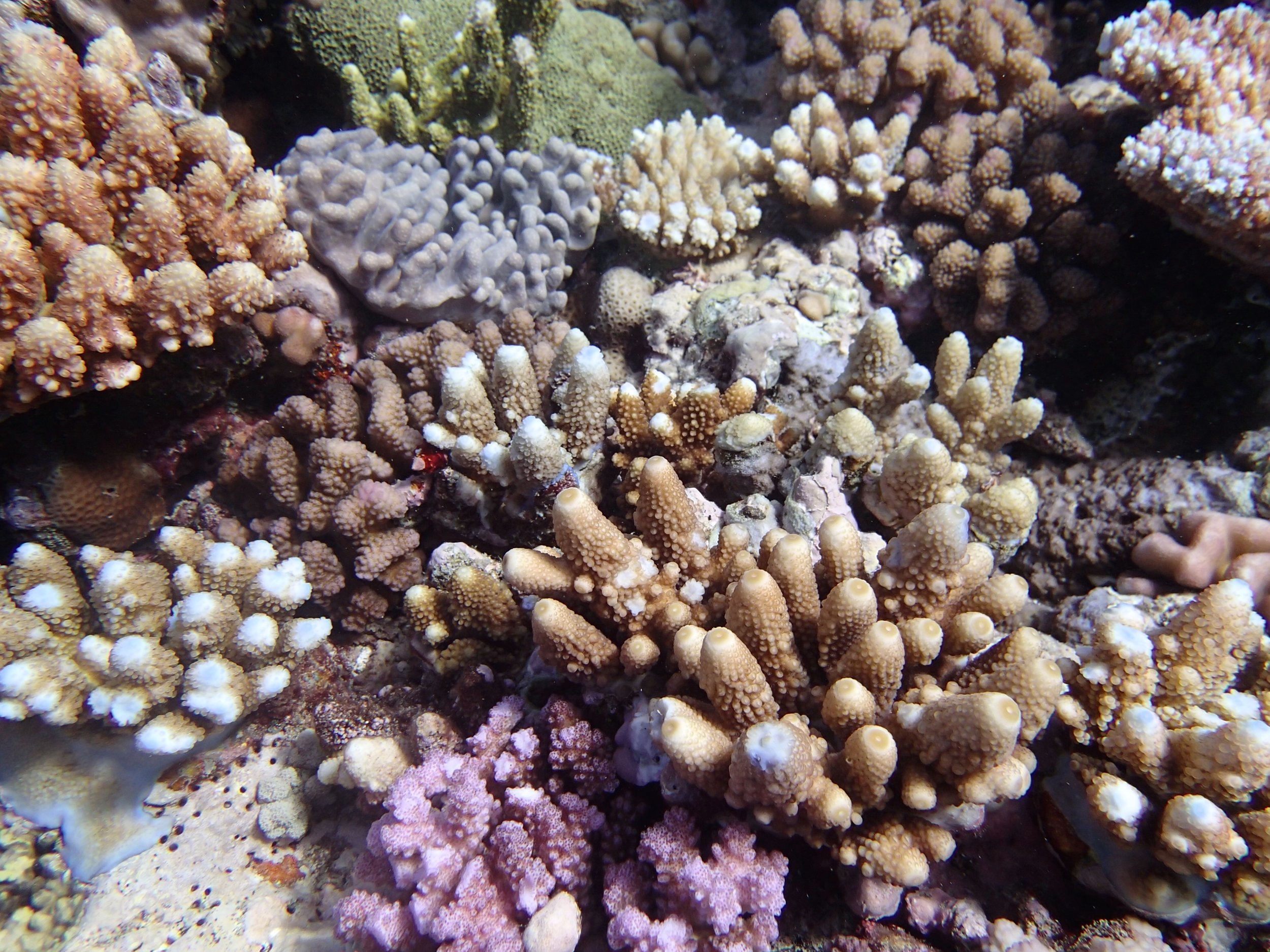
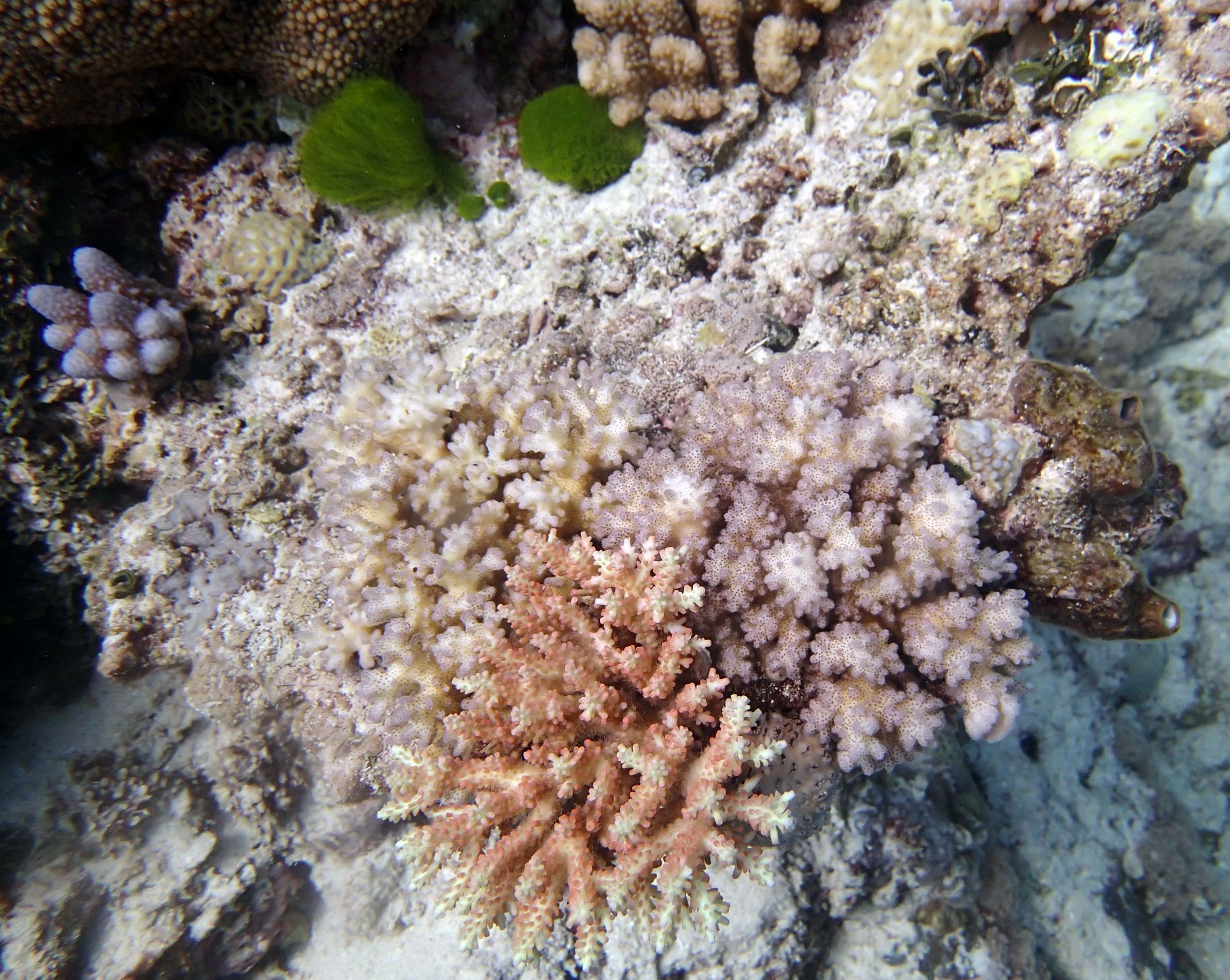
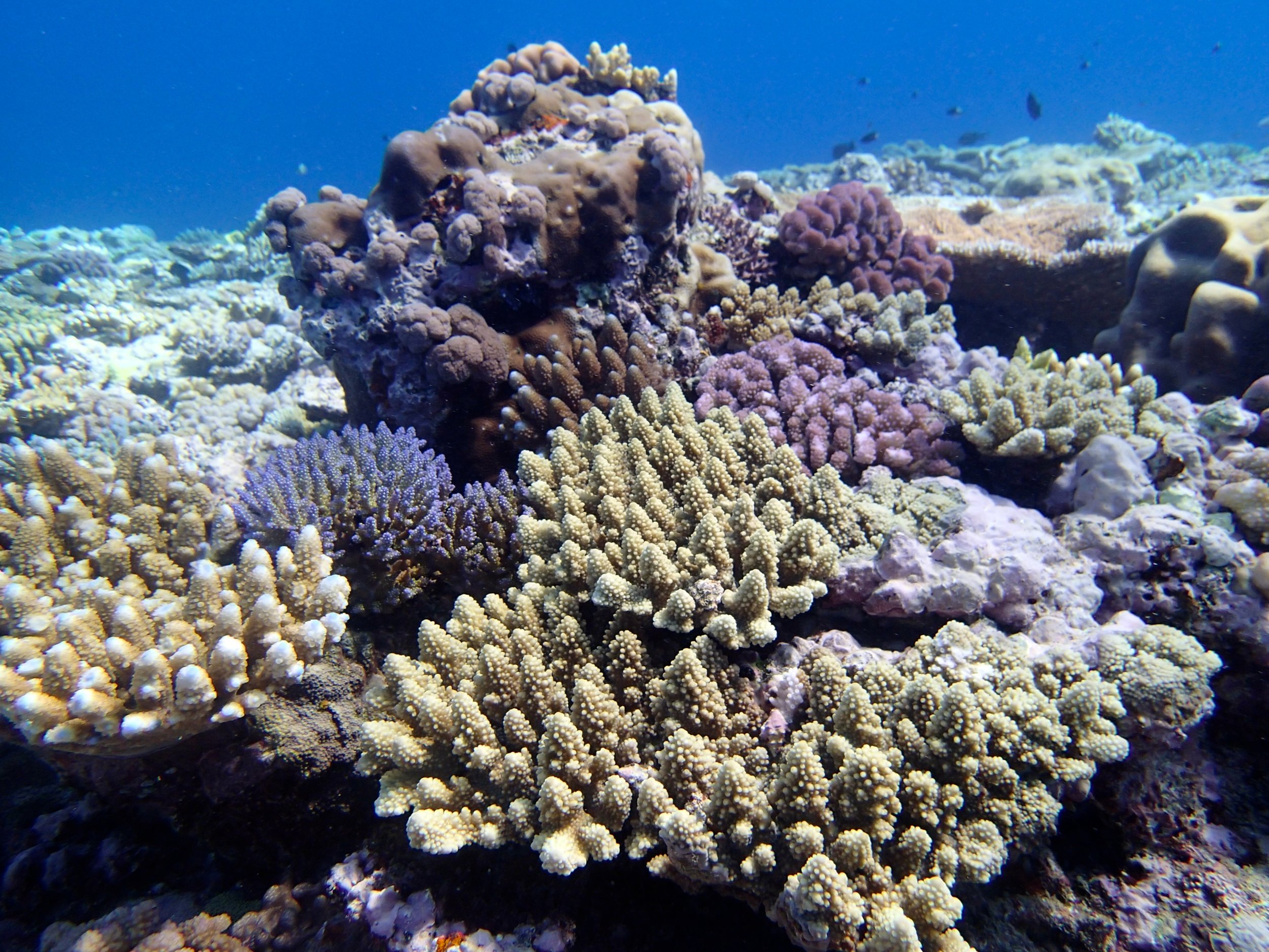
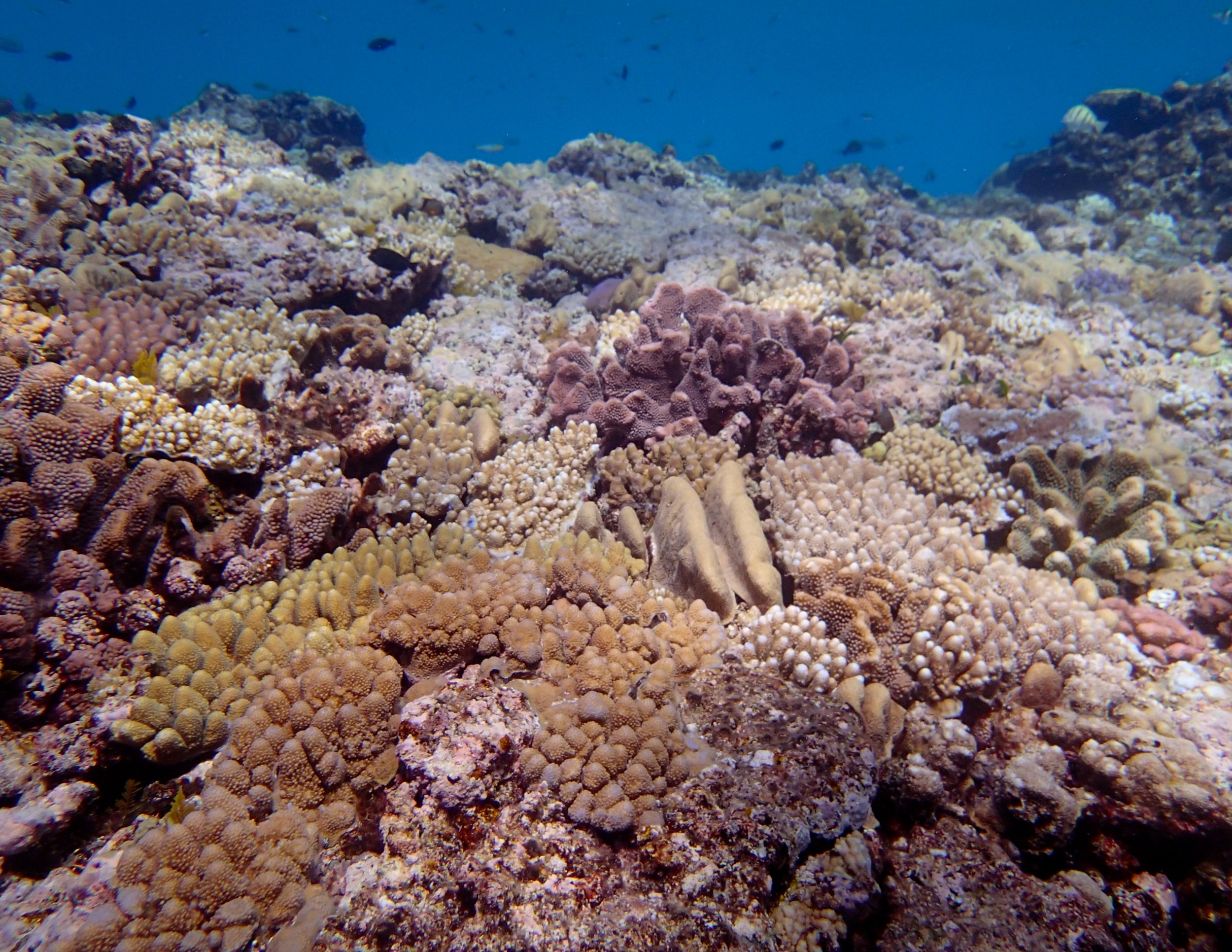
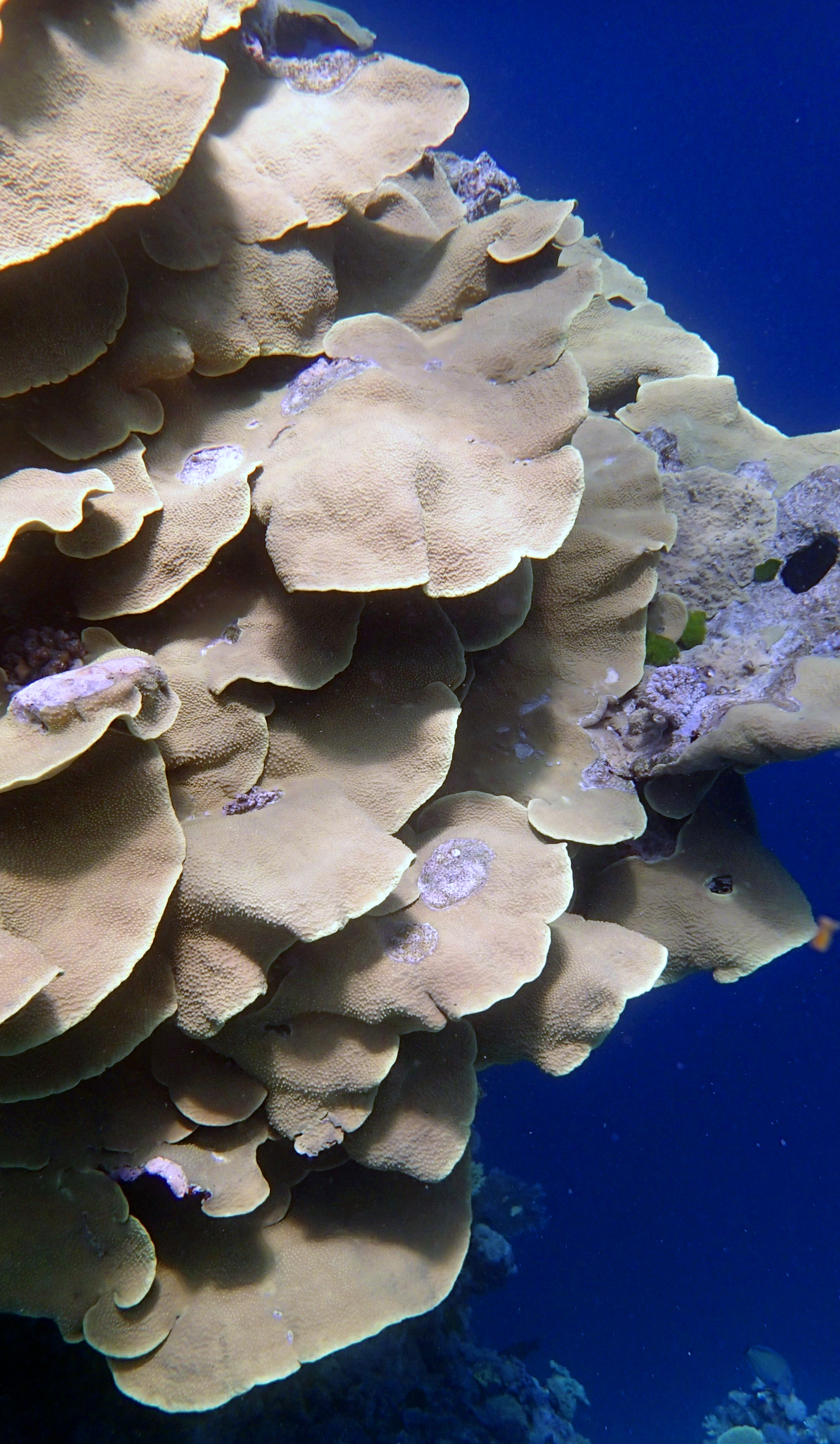
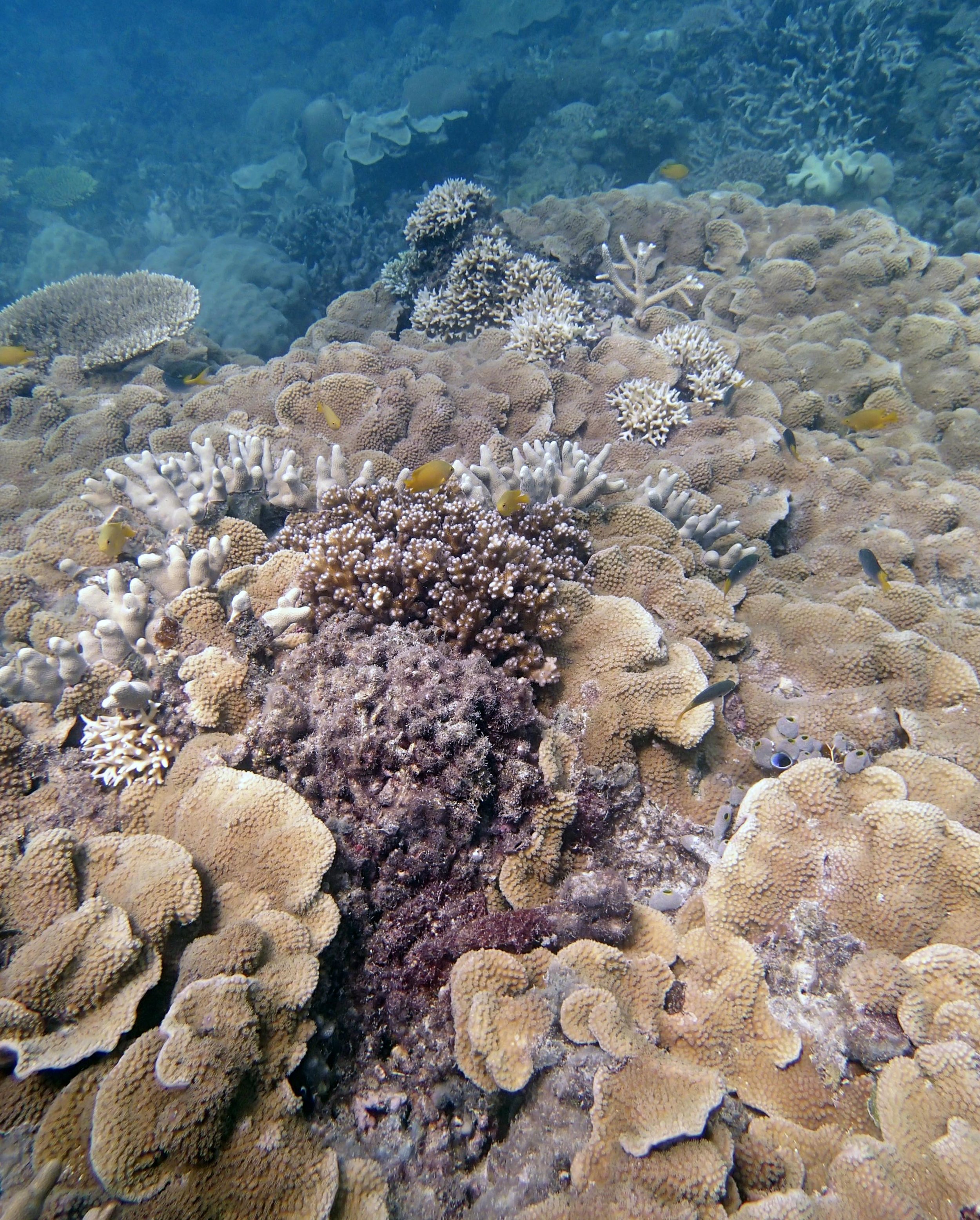
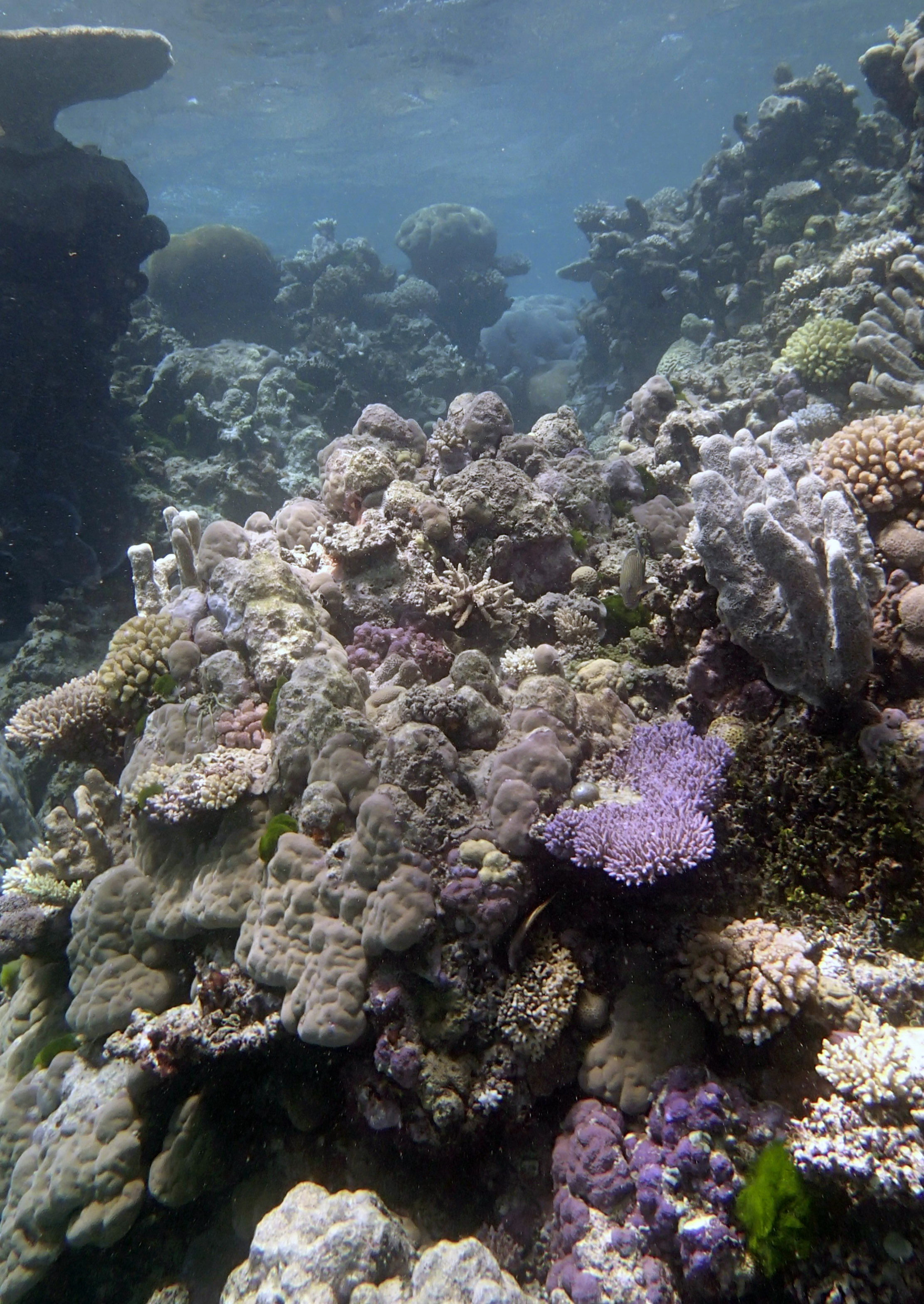
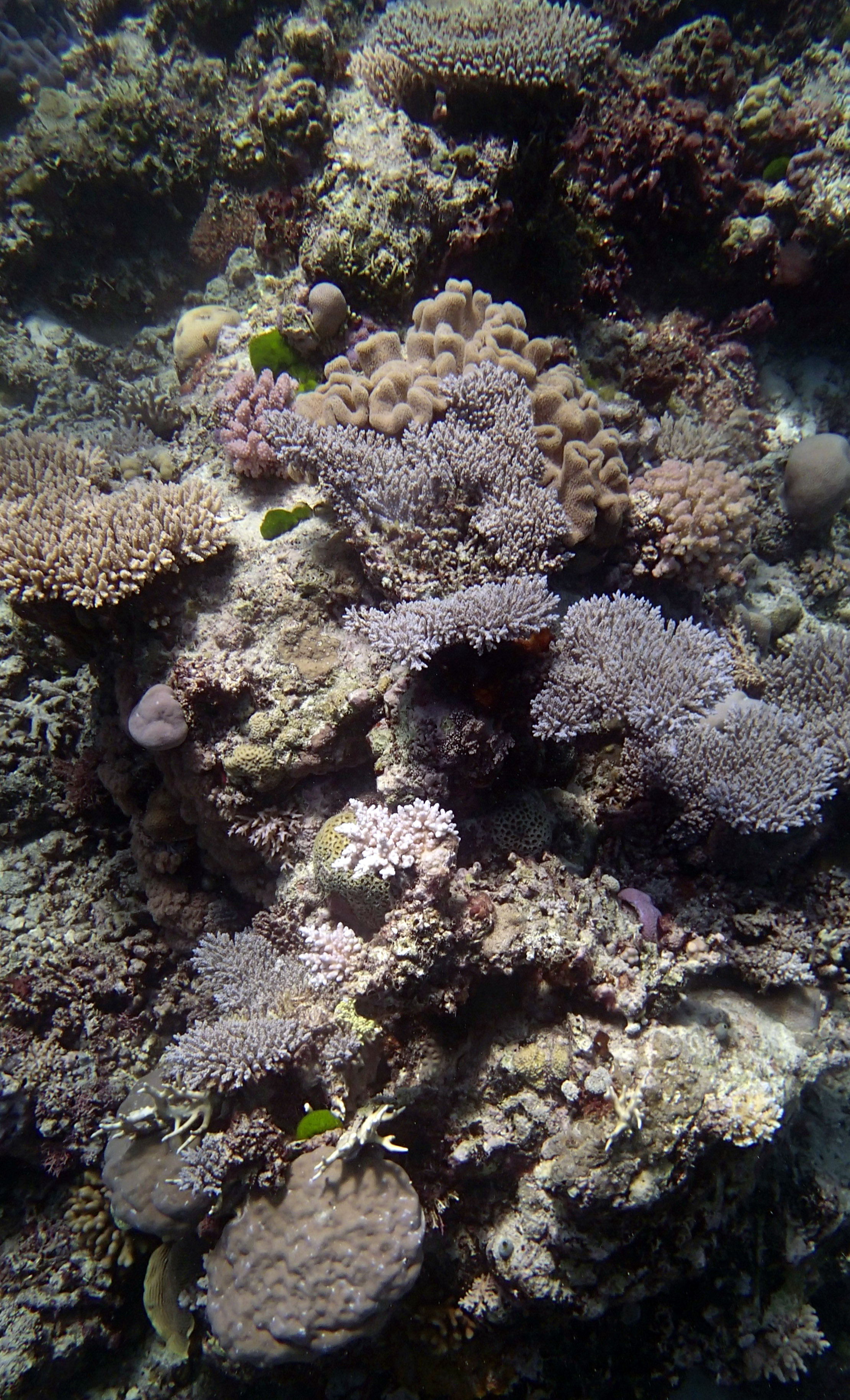
In September-October of 2014, the Khaled bin Sultan Living Oceans Foundation surveyed the northernmost reefs of Australia's Great Barrier Reef (from -15 to -11 degrees of latitude). I did not collect samples, only reef structural data (rugosity, bommie cover, etc.) and coral recruitment data. For the field report, please click here; for GPS coordinates of the ~170 reefs surveyed, see this document. I spent 85 hours underwater! Unfortunately, this may very well be the last ever survey of the GBR when coral was still relatively healthy, as repeated bleaching events have occurred essentially annually since then. AIMS has been tracking this on their nice monitoring website.
Interactive map and data tool developed and operated by the Australian Institute of Marine Science (AIMS). View the original at apps.aims.gov.au/reef-monitoring/reefs. Data © AIMS; used under their attribution terms.
Here are my field notes.
Here are two blogs I wrote during the trip: one on rugosity and another on coral health.
Here are my rugosity data.
If you want to check out all 10,000 pictures, let me know, and I’ll send you the Apple Photo libraries, though you may be able to download them here (via OneDrive):
2014 GBR trip (through Sept. 25) GBR 9-27 onward
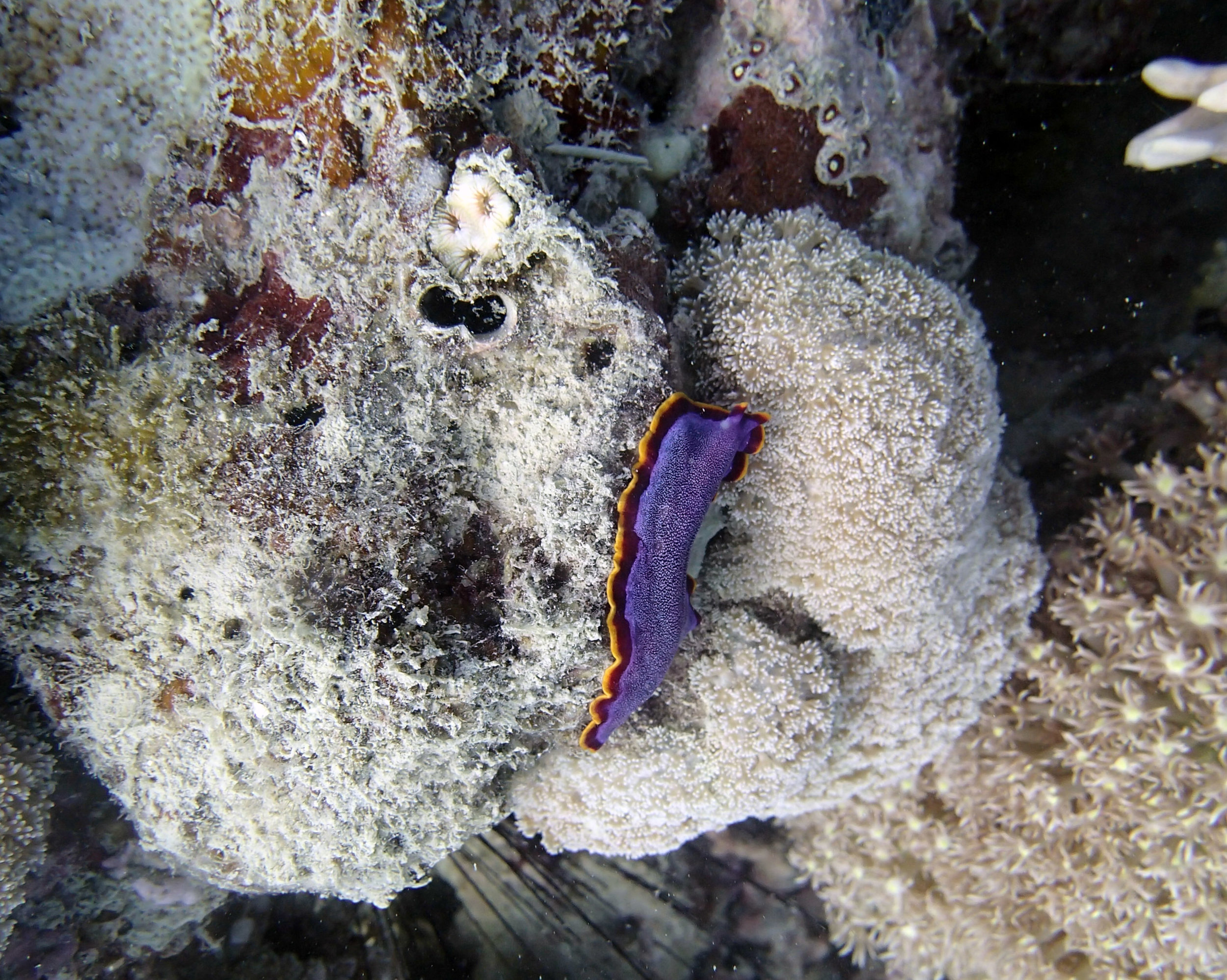
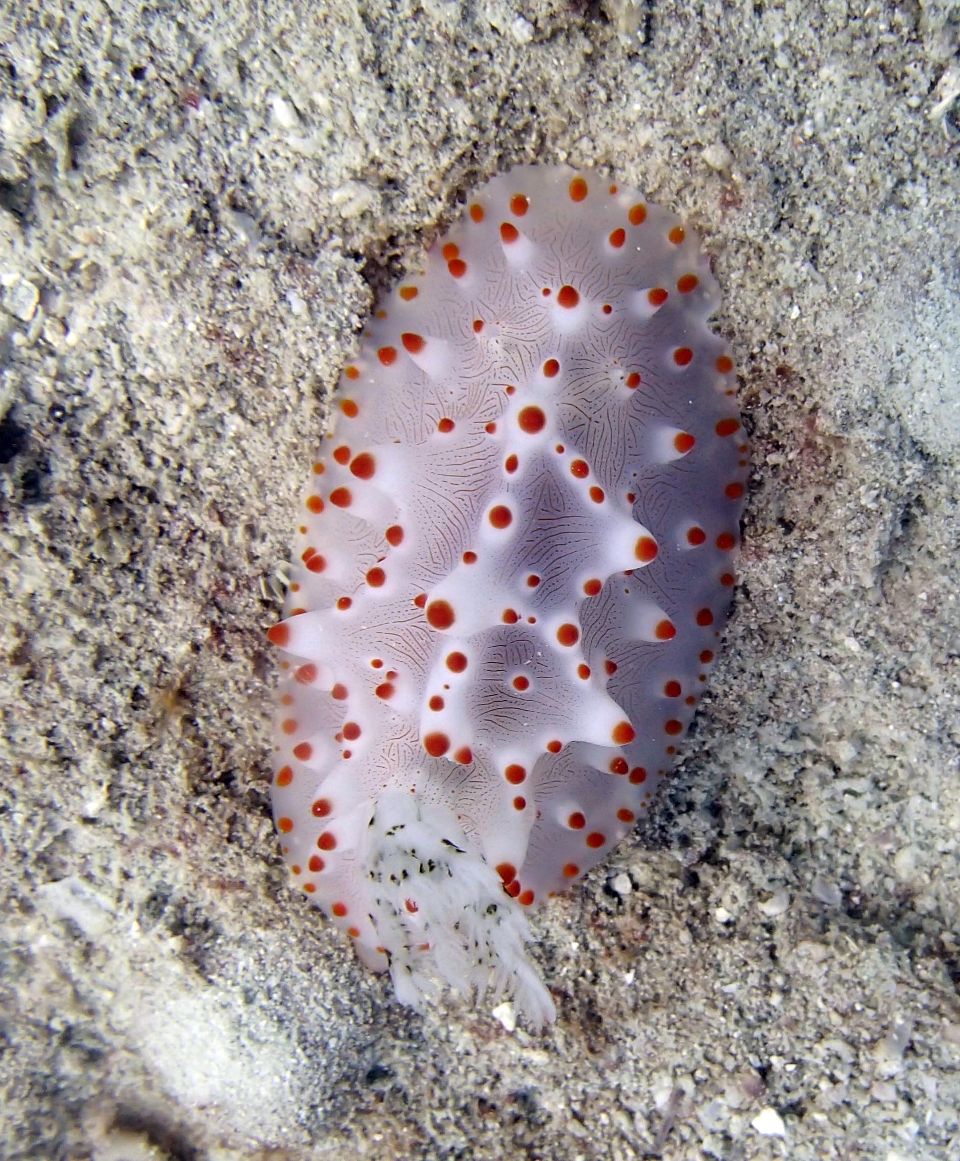
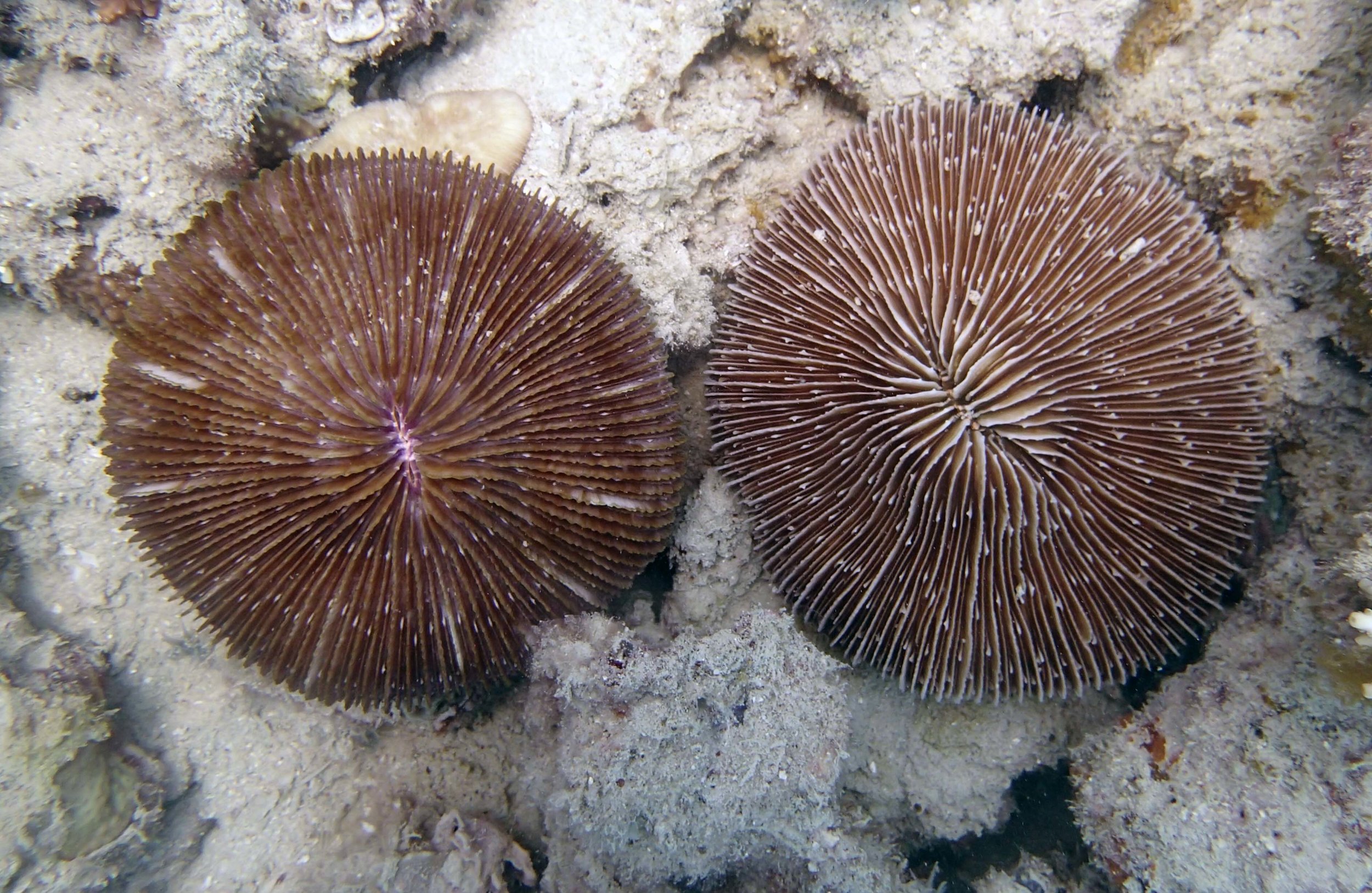
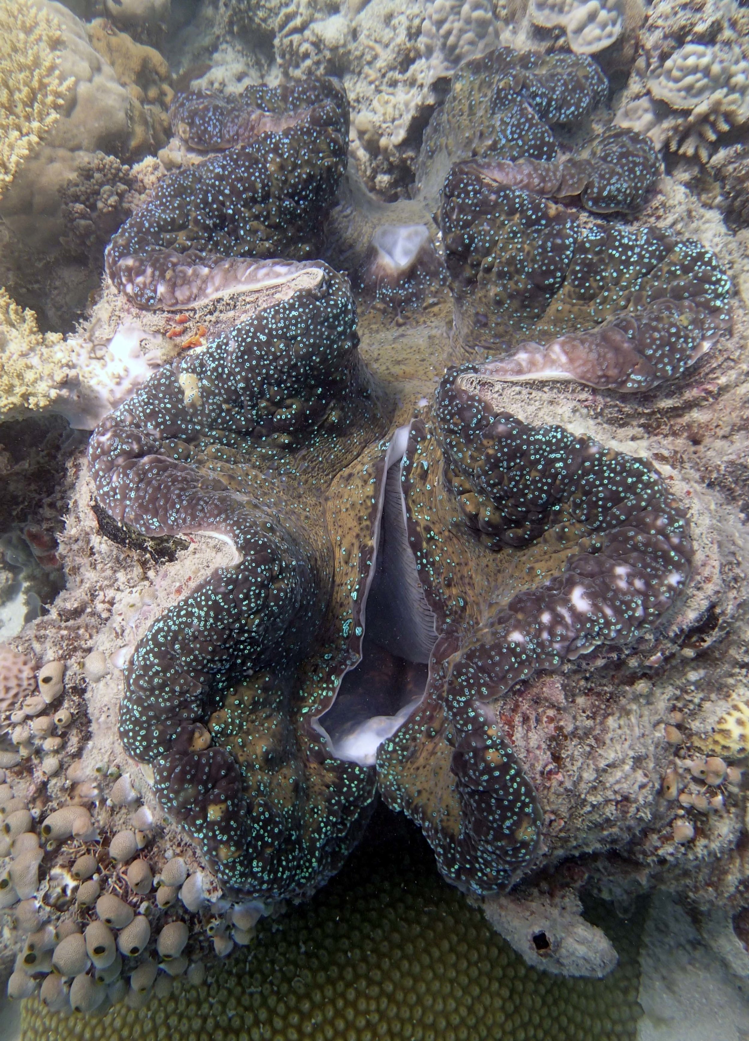
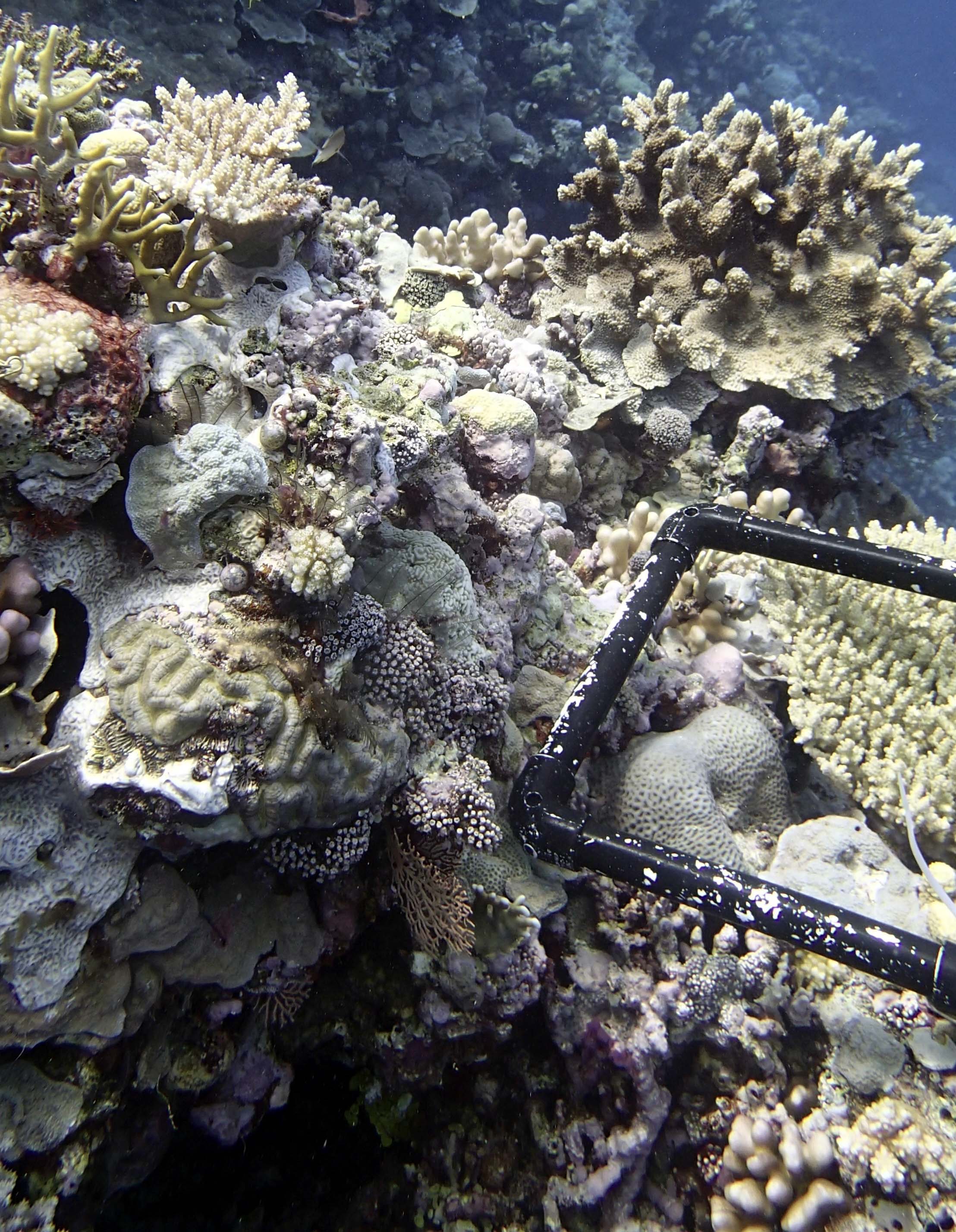
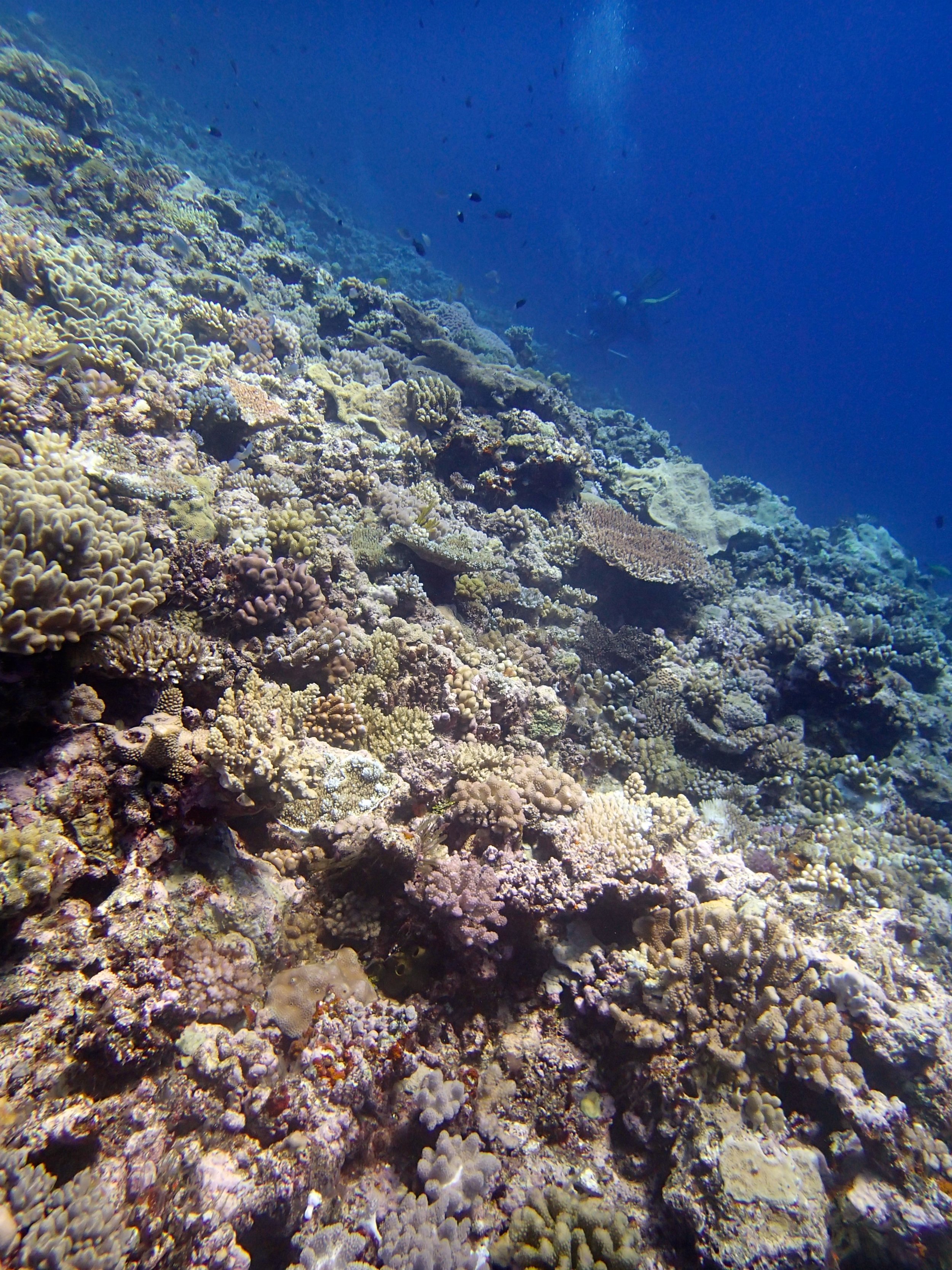
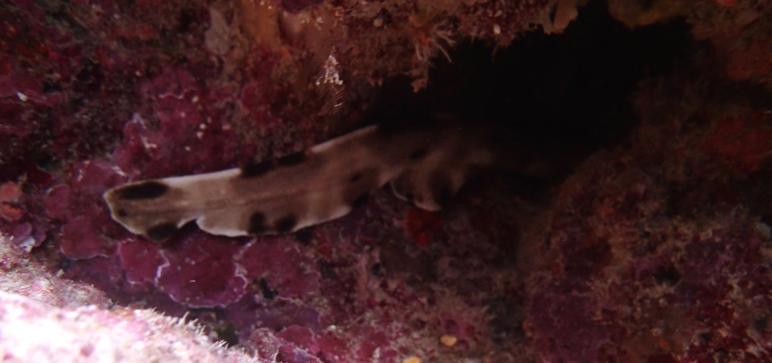
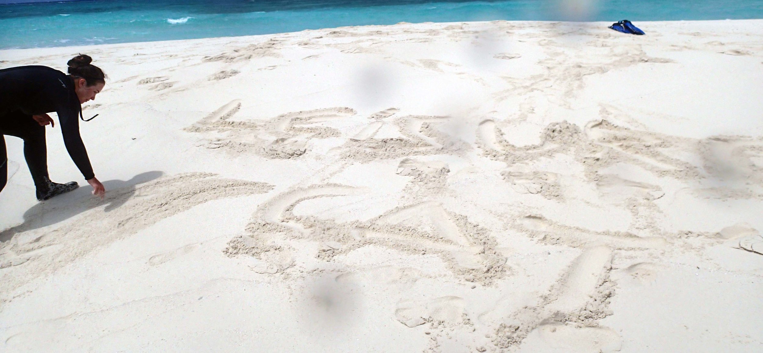
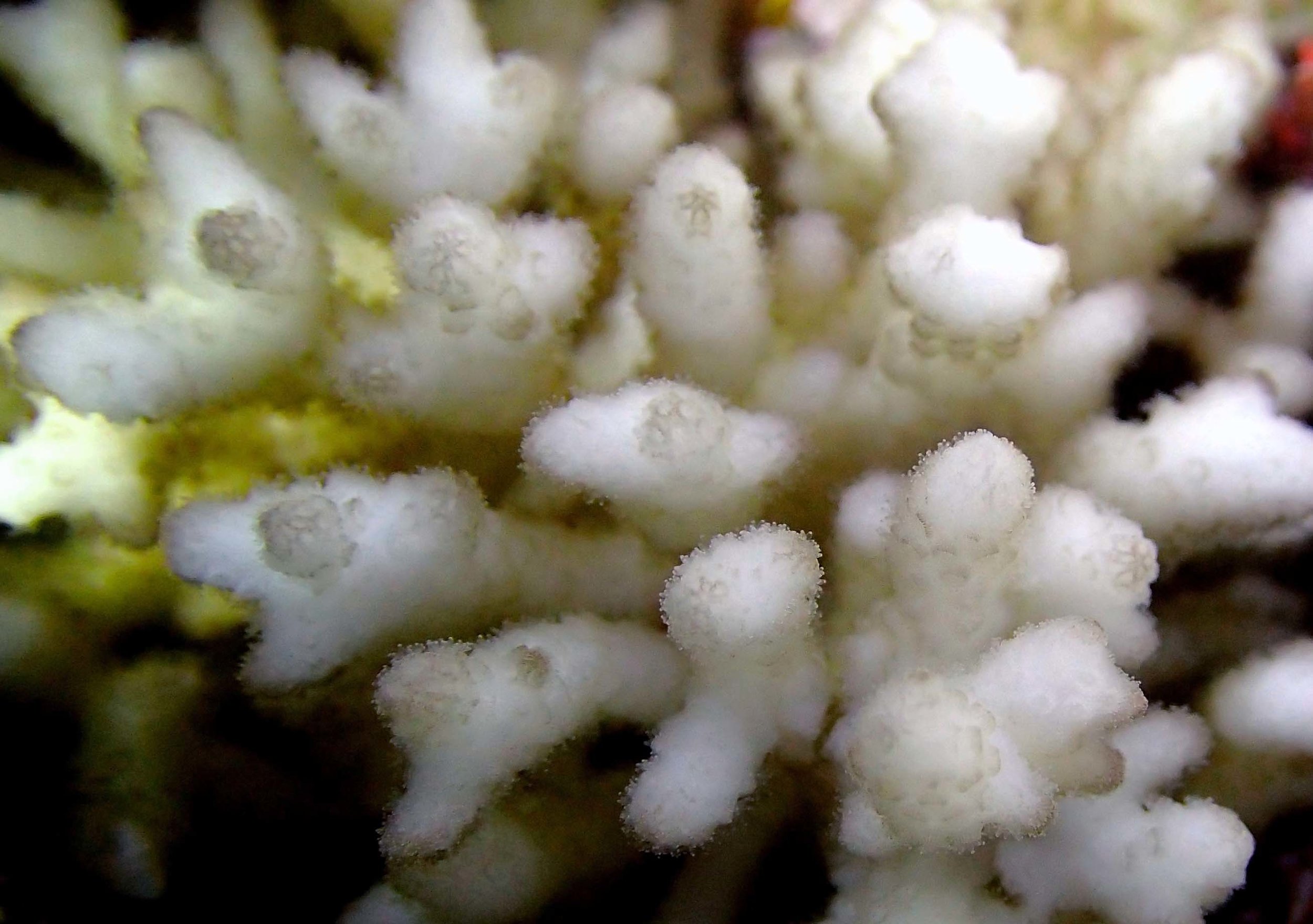
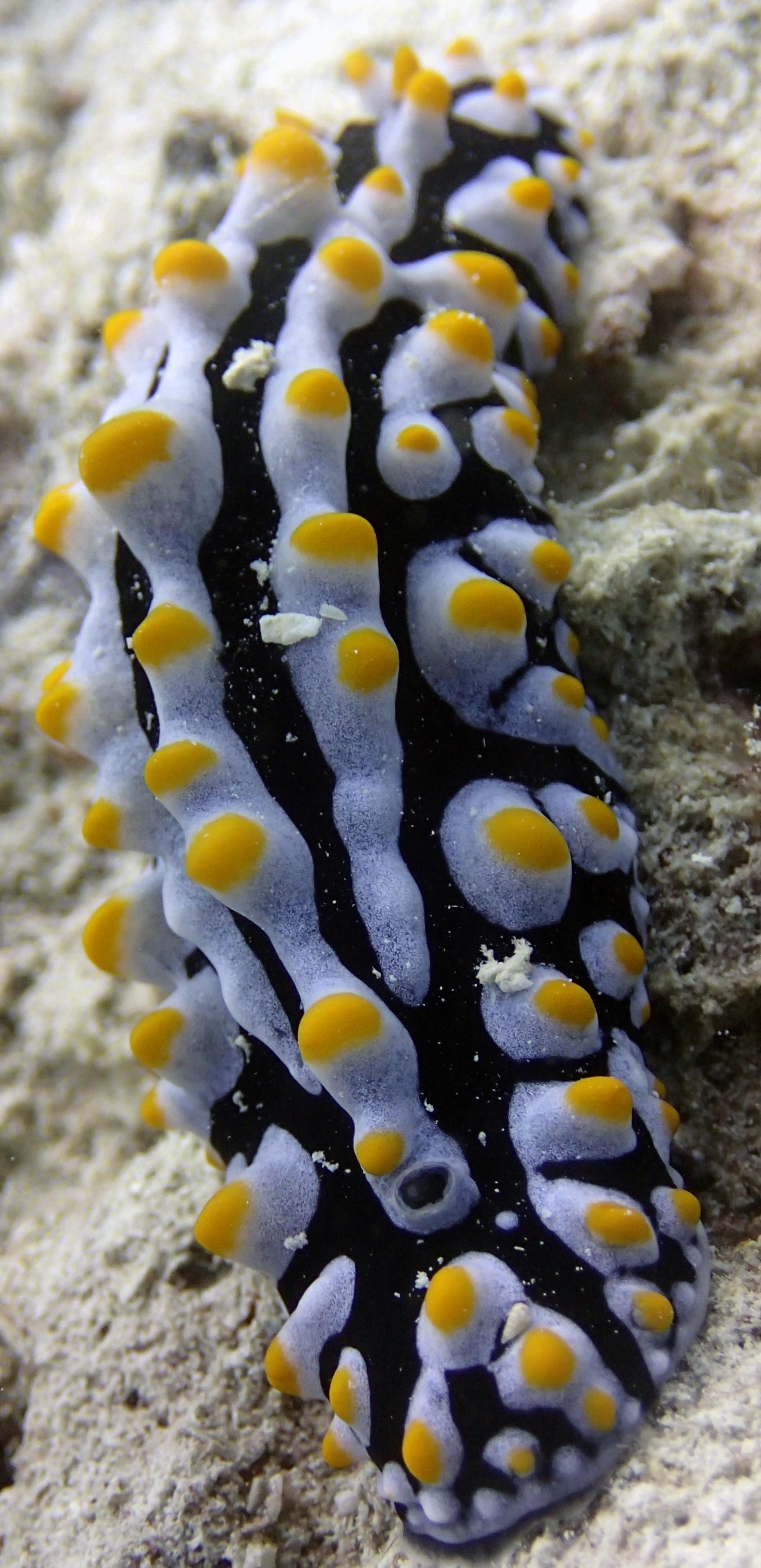
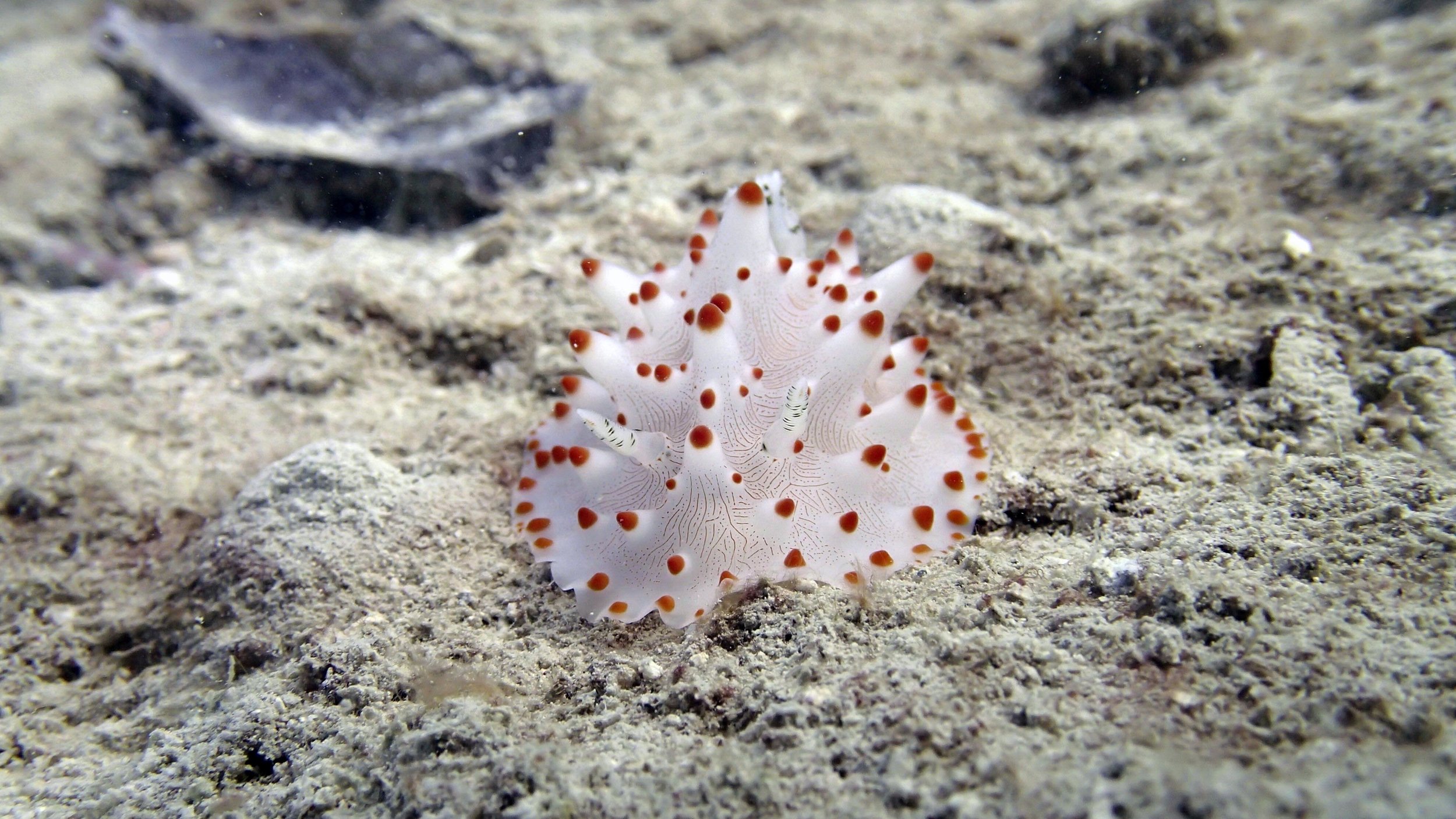
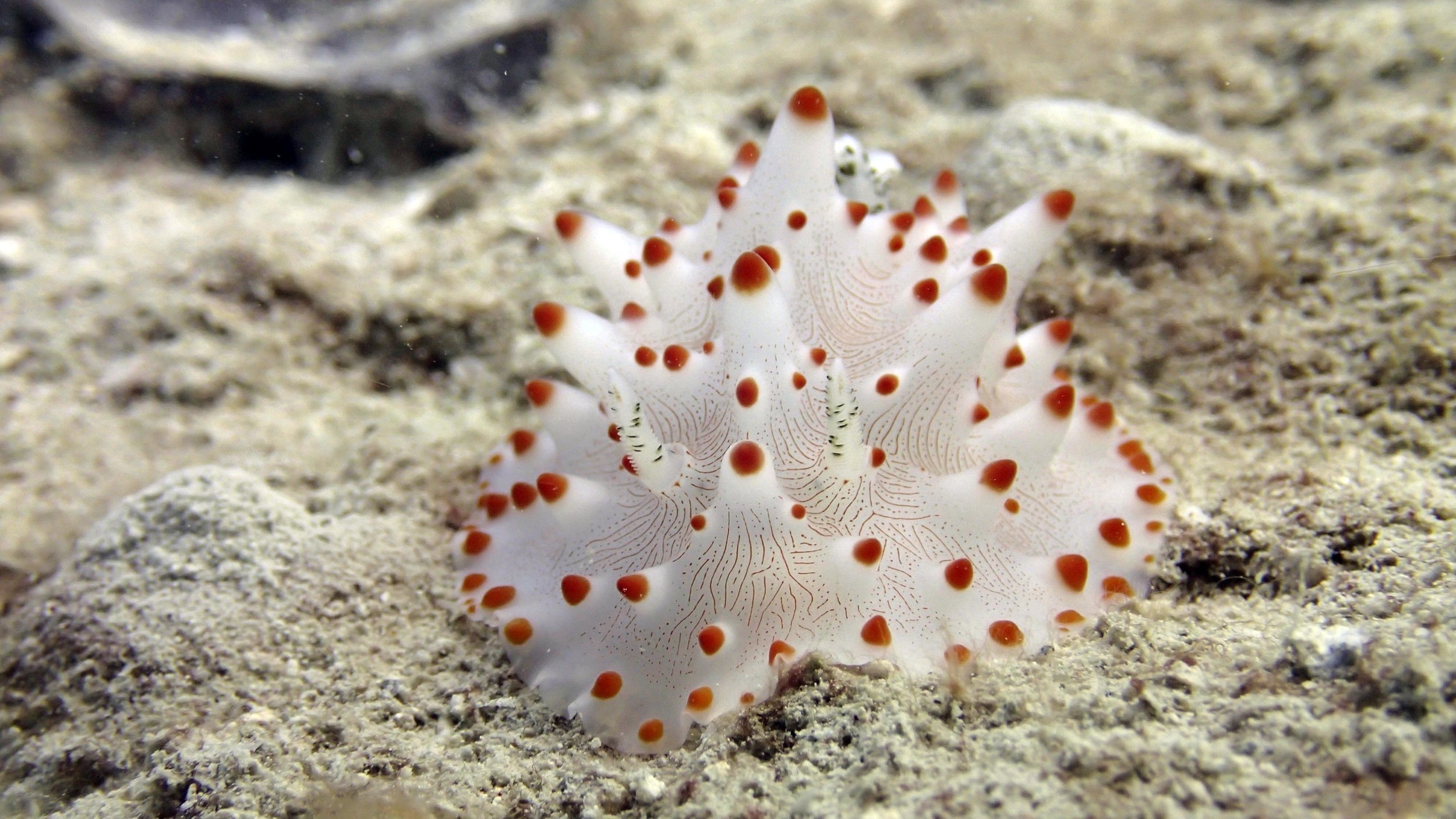
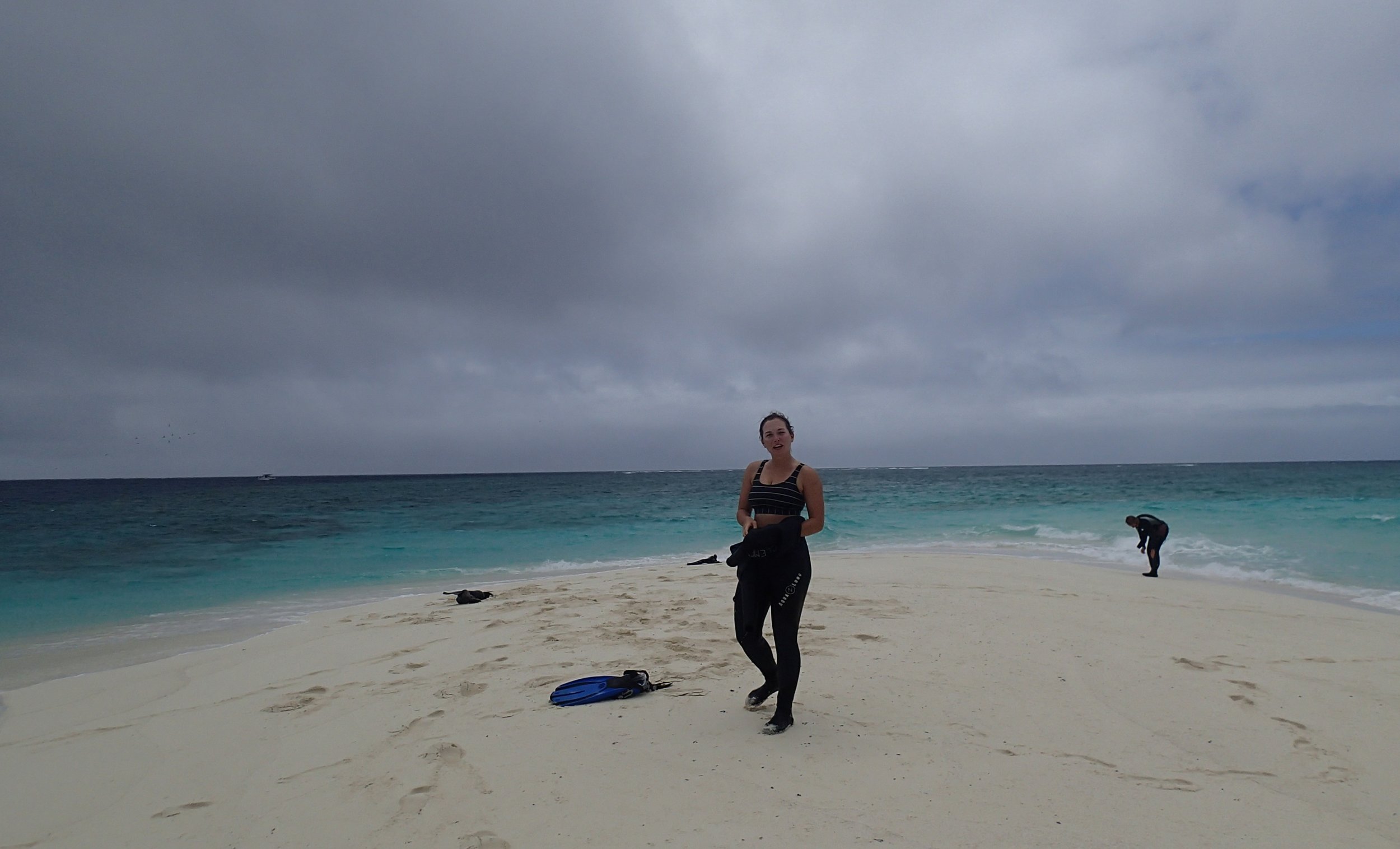
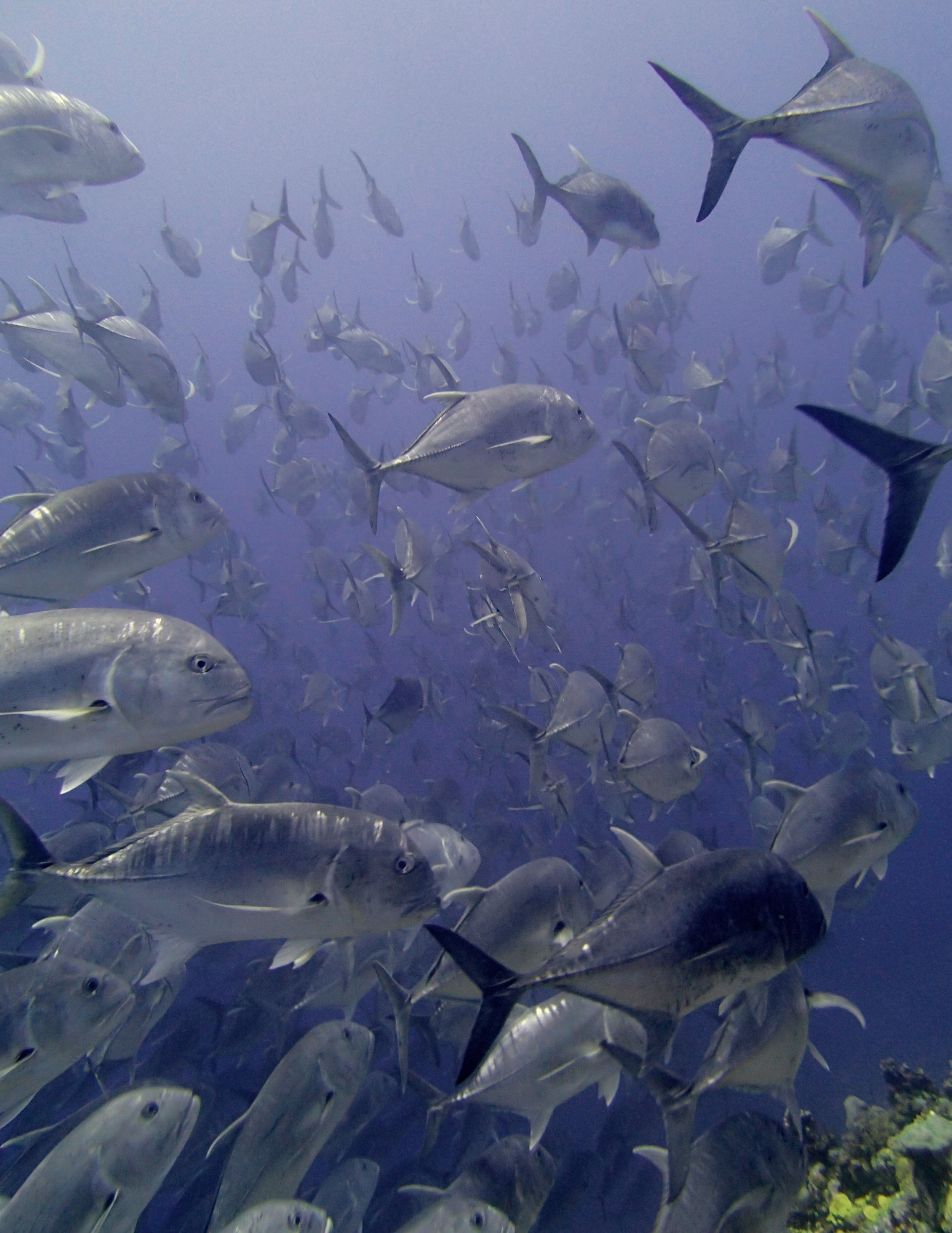
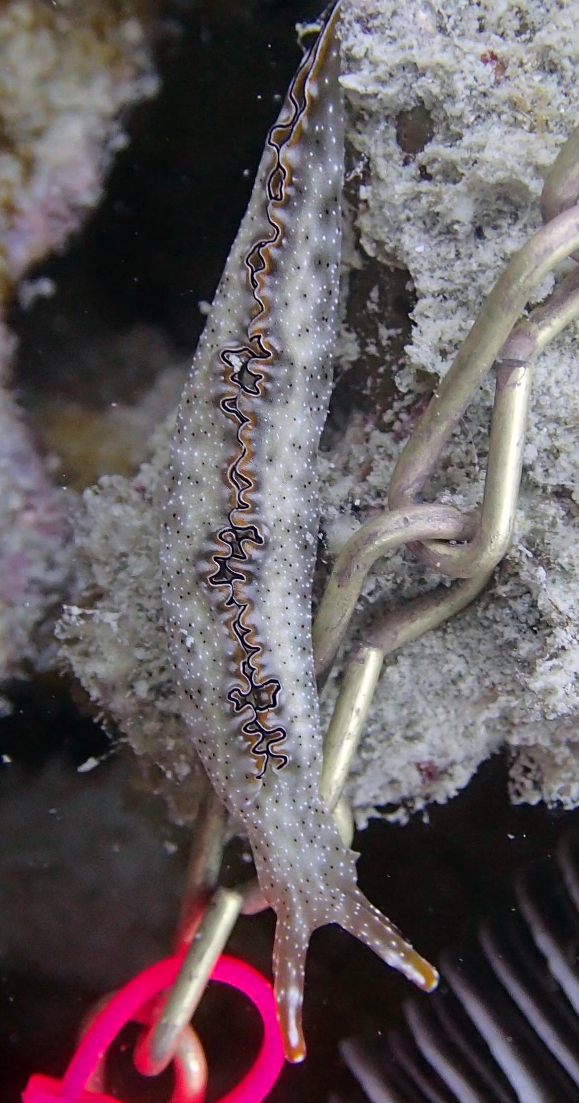
Here are some of the best pics. I also have included the high-resolution versions of these on my Adobe Portfolio.